Jul 29, 2020 | Blog, Webinar
On July 22, 2020, LightHawk hosted a webinar on how to capture video from a small aircraft and use that video for conservation communications and monitoring. Aerial video footage is a powerful tool for connecting with supporters and community members at a distance via...
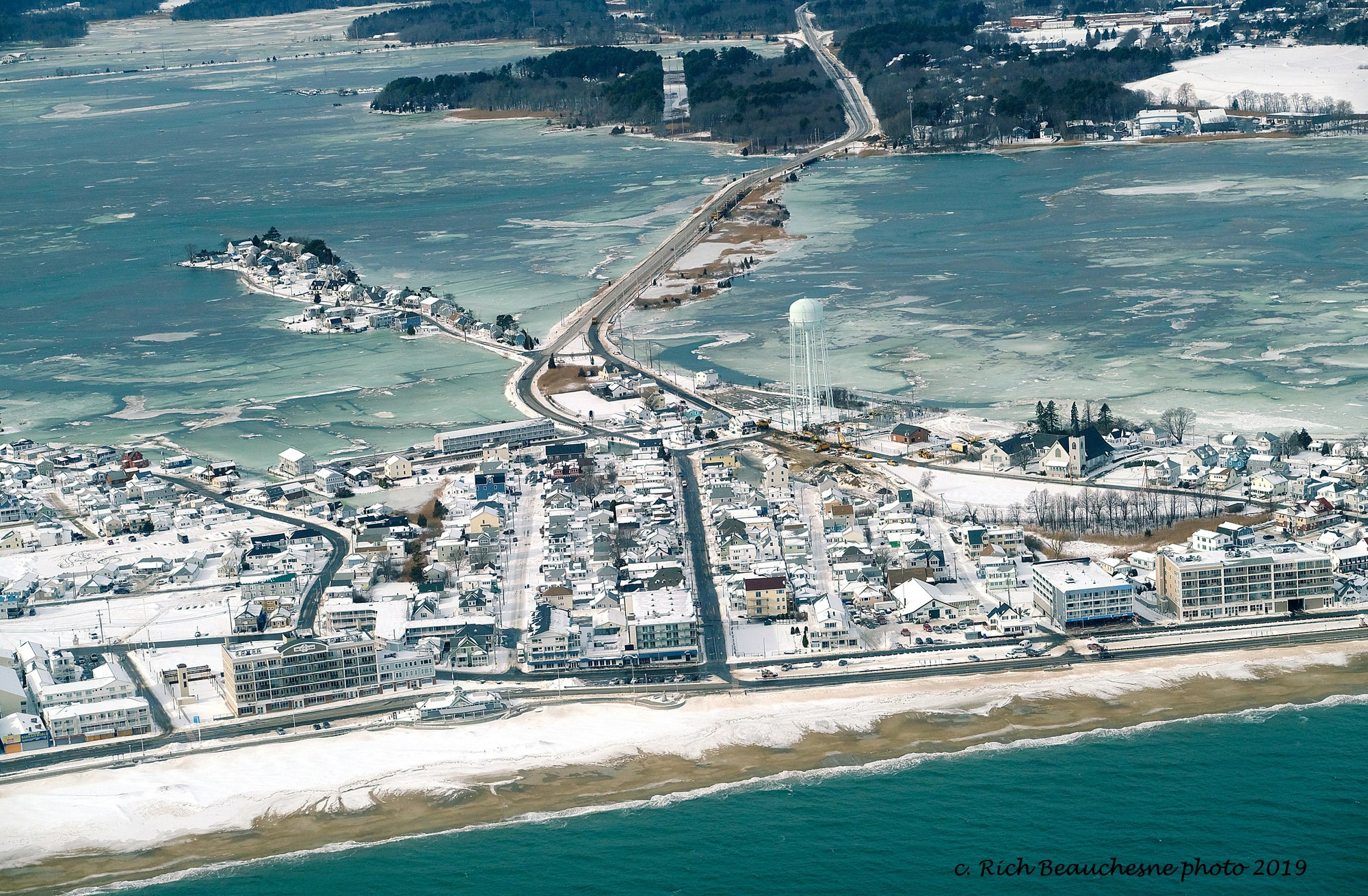
Aug 5, 2019 | Oceans & Coastlines, Webinar
LightHawk and Surfrider Foundation hosted a webinar in July 2019 to show how we plan to raise awareness about sea level rise during King Tide events, and how your group can participate. King Tides provide a sneak peek into what normal high-tides will look like due to...
Jul 10, 2019 | Oceans & Coastlines, Webinar
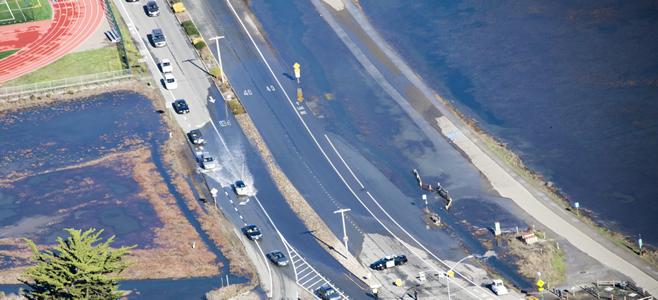
A king tide floods roads in California, previewing how sea level rise will impact coastal communities in the near future. Robert Most. Thursday, July 18 1pm-1:30pm MST Join LightHawk and Surfrider Foundation to hear how we plan to raise awareness...
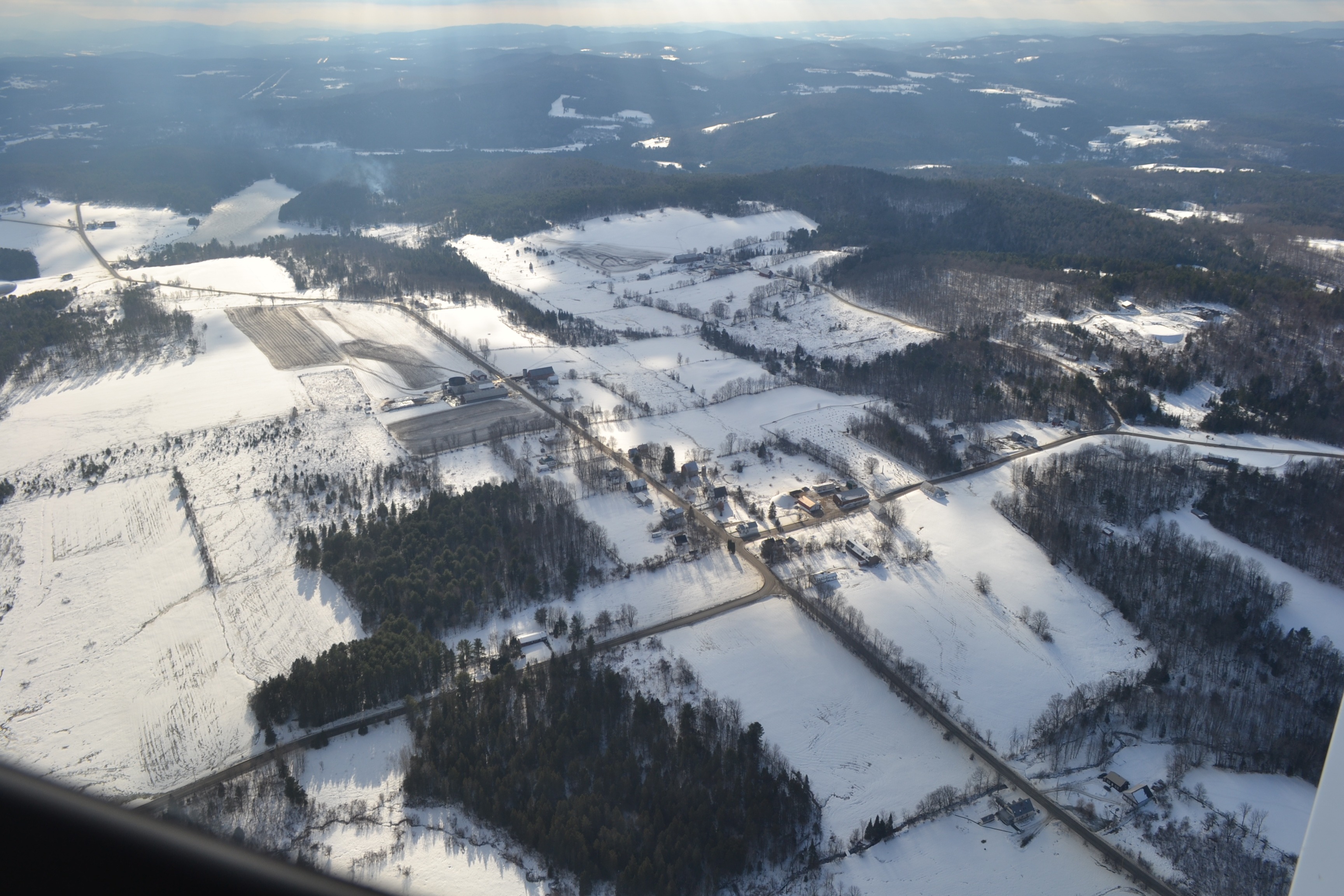
May 9, 2019 | Webinar, Wild Places
Conducting Easement Monitoring from the Air: Tips & Tricks Join LightHawk to learn more about conducting aerial monitoring flights to survey your Land Trust’s conservation easements. Saving our partners on average 75 hours of staff time for every hour of flight,...