
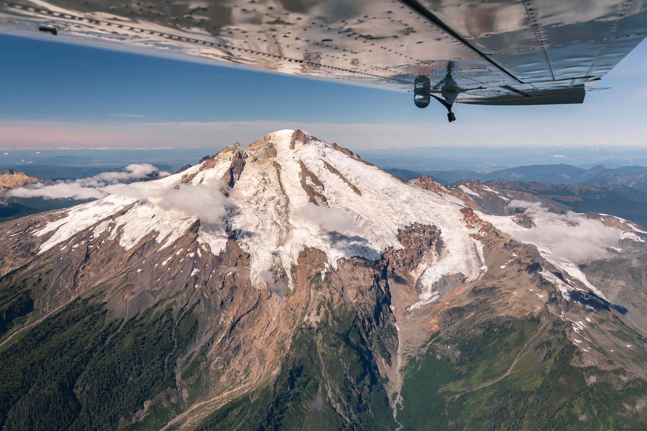
Fifty flights. Fifty days. Countless impact.
Each summer, LightHawk pilots and partners accept the challenge: flying fifty flights in fifty days, from Alaska’s salmon rivers to Florida’s mangrove coasts. Follow along, get involved, or help fund the next challenge.
53/50
Flights logged
Why 50 in 50
Fifty flights in fifty days. One shared mission.
A coast-to-coast portrait of the landscapes and species LightHawk and our partners are working to protect.
-
Conservation nationwide
From wolf recovery in the Southwest to sea level rise in the Northeast, each flight tackles a real conservation issue.
-
Flown by volunteers
Our volunteer pilots donate their time, skill, and aircraft, turning each flight into direct conservation impact on the ground.
-
Shared with the world
Every mission is documented and shared, building a nationwide case for the power of collaboration and an aerial perspective.
Where we’ve flown so far
Every pin tells a story from the recent 50 in 50 Challenge. Explore where 2026 took us. Click a marker to see the mission, the partner and pilot behind it, and what flight made possible.
53 flights flown
Along the southern border, sections of wall now cut through habitat once used freely by wildlife moving across the landscape. Working with Sierra Club, LightHawk documented how the barrier intersects migration routes and fragments habitat across miles of terrain. The aerial perspective helps show the scale and continuity of these impacts in ways that are difficult to understand from the ground.
LightHawk volunteer pilot Chuck Schroll provided the aerial access needed to capture the broader landscape and the barriers wildlife must navigate.
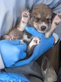
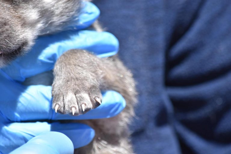
Recovering the Mexican gray wolf depends in part on strengthening genetic diversity in the wild population. Working with federal and state wildlife agencies, LightHawk transported captive-born pups from Missouri to New Mexico, where they were placed into wild dens to be raised by foster mothers. Because cross-fostering must happen within a narrow developmental window, fast, direct transport is critical to giving the pups the best chance of successful adoption.
LightHawk volunteer pilot Ken Adelman provided the flight needed to move the pups safely and efficiently between locations.
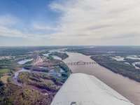
Wetlands across Illinois are part of a larger network of habitats that support wildlife, water quality and landscape connectivity. Working with Prairie Rivers Network, LightHawk flew over Nahant Marsh, the Milan Bottoms/RI Wetlands, the Rock River and Green Valley Nature Preserve to assess conditions across the region. The aerial perspective helps connect individual sites into a broader landscape view, informing both current conservation work and future planning.
LightHawk volunteer pilot Robert Thomas provided the flight and aerial perspective needed to assess these areas efficiently.
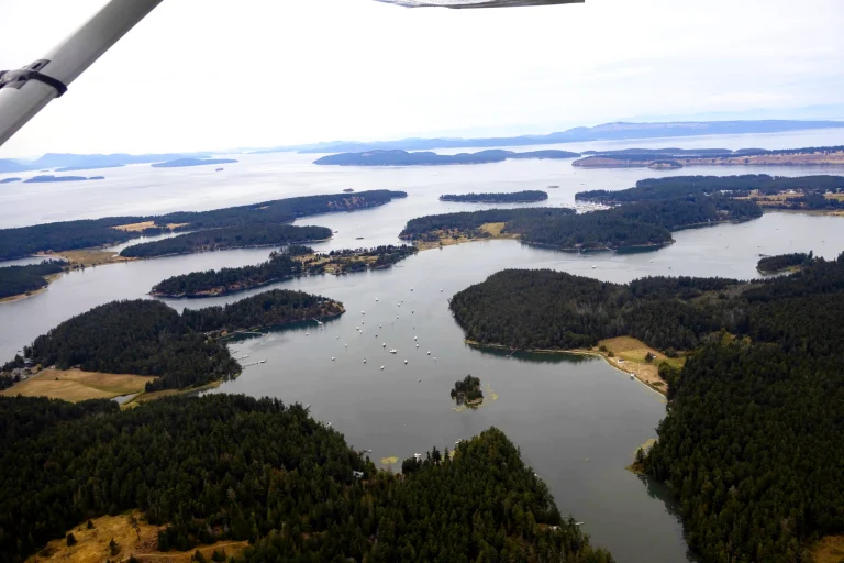
Seagrass beds in the San Juan Islands provide important habitat but are increasingly affected by recreational boating. Working with Washington Department of Natural Resources and Washington Department of Fish and Wildlife, LightHawk conducted two flights to document boat activity across sensitive areas. Cameras mounted to the aircraft captured images every five seconds, creating an aerial dataset that reveals patterns and pressures that are difficult to measure from the water.
LightHawk volunteer pilot Lane Gormley provided both flights, helping partners monitor impacts across a broad marine landscape.
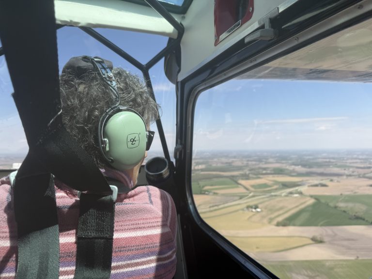
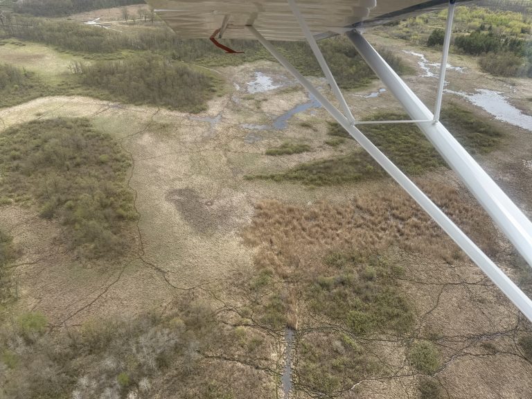
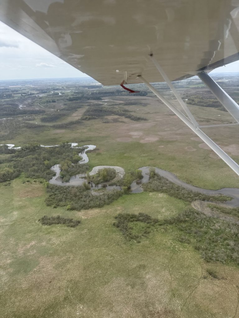
Whooping cranes nest across vast and remote landscapes, making nests difficult to locate and monitor from the ground. Working with International Crane Foundation, LightHawk conducted two aerial surveys to identify nest locations. Once nests are found, ground teams can install cameras and monitor activity more closely. Combining aerial and ground-based observations gives researchers valuable information to guide habitat management and strengthen recovery efforts for this endangered species.
LightHawk volunteer pilot Susan Schwaab provided both flights, helping researchers efficiently search large areas for nesting cranes.
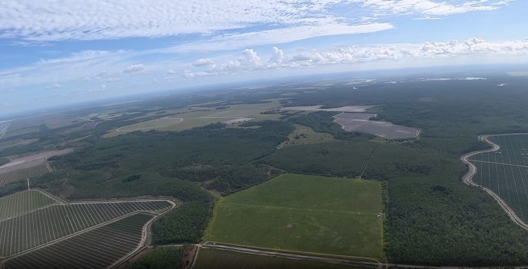
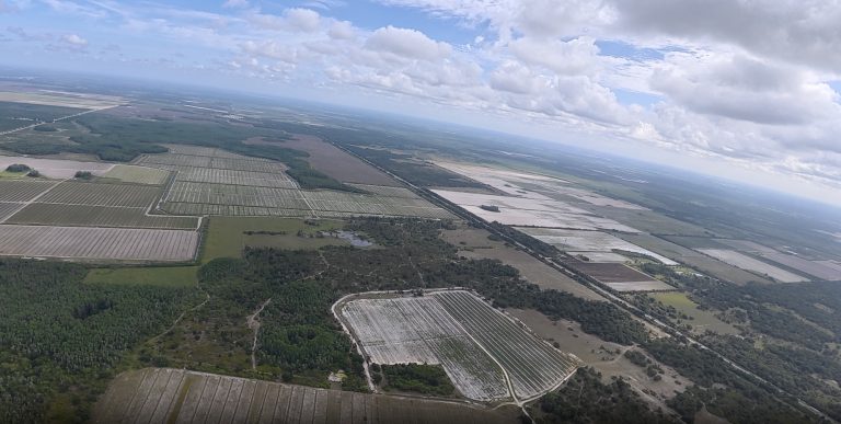
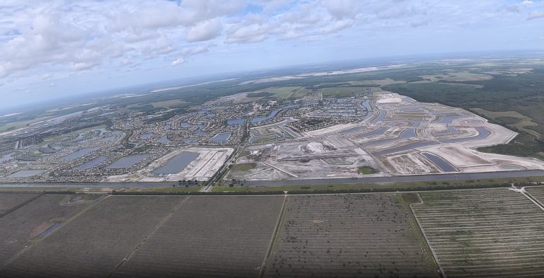
Southwest Florida’s remaining panther habitat is increasingly fragmented by development and mining. Working with Conservancy of Southwest Florida, LightHawk conducts ongoing flights to track changes across key habitat and wildlife corridors. Aerial photos and video help show where development is advancing and how remaining corridors connect to surrounding public lands, giving the public and decision-makers a clearer picture of what is at stake.
LightHawk volunteer pilots Adam Shapiro and Alan Kinback provided the aerial perspective needed to monitor these changes across the landscape over time.
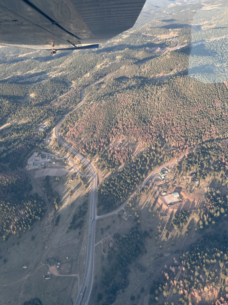
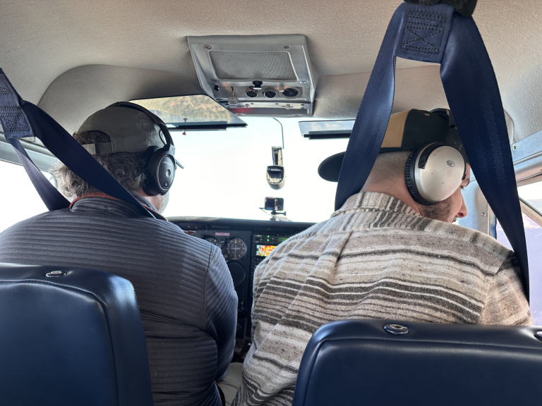
Across Colorado, mountain pine beetle infestations are leaving entire hillsides of dead and dying trees, adding to concerns about drought, climate pressures and wildfire risk. Working with an investigative journalist, LightHawk captured aerial imagery showing the extent and pattern of forest loss across the landscape. The perspective from above helps make the scale of the damage visible and gives readers a clearer understanding of how these pressures are reshaping Colorado’s forests.
LightHawk volunteer pilot Evan Anderman provided the aerial access needed to capture the broader story.
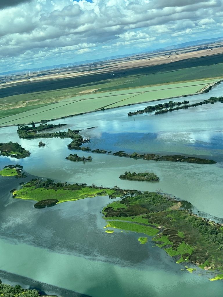
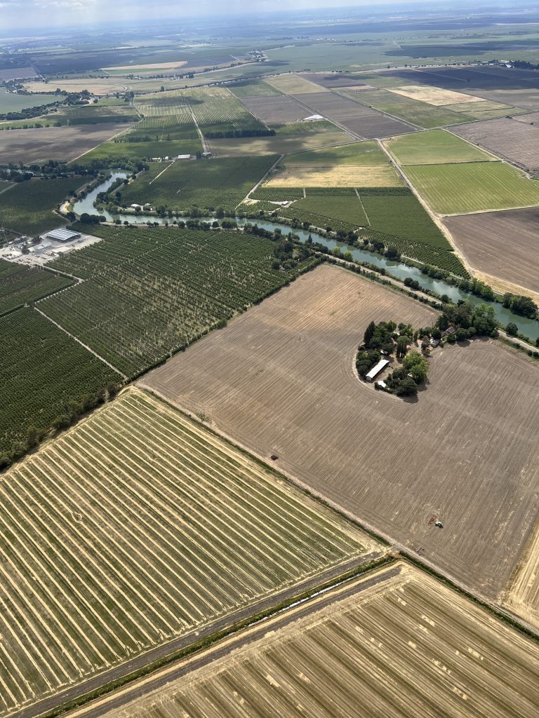
The Sacramento-San Joaquin Delta is a complex estuary where water, agriculture and infrastructure are tightly intertwined. Working with California Delta Protection Commission, LightHawk flew participants from the Delta Leadership Program over the region to see how levees, waterways and land use connect across the landscape. The aerial perspective helps participants better understand the tradeoffs and relationships shaping management of this vital system.
LightHawk volunteer pilots Martyn Lewis, Louise Mateos, Michael Venturino and Jane Rosevelt worked together to provide the series of flights.
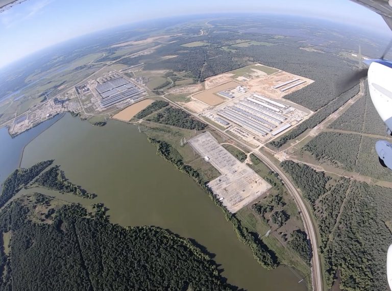
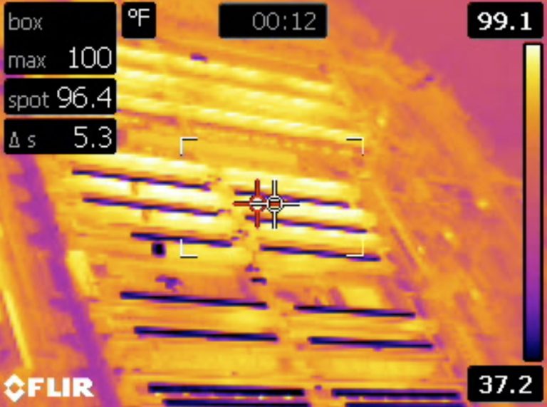
As cryptocurrency and data centers expand, researchers are working to better understand their environmental impacts, including the heat they release. Working with Texas A&M University, LightHawk conducted two flights using aerial infrared imaging to measure heat emissions from facilities that are difficult to assess from the ground because of restricted access. The data will help researchers quantify these impacts at a broader scale and inform future study.
LightHawk volunteer pilot Eric Jakimier provided both flights, giving researchers the aerial access needed to collect infrared data across multiple sites.
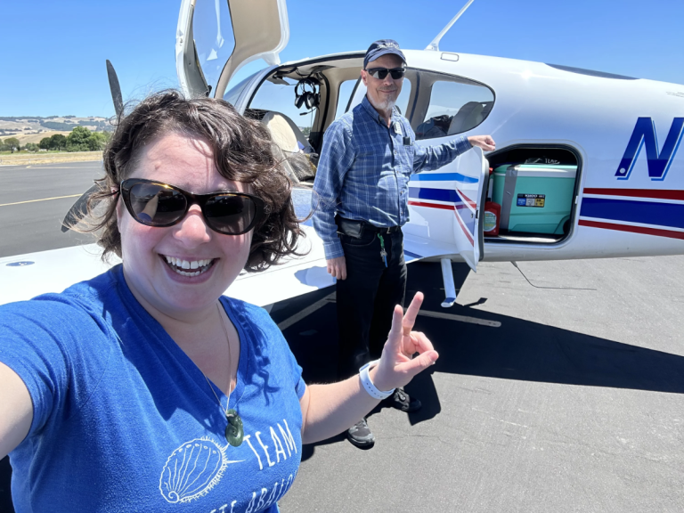
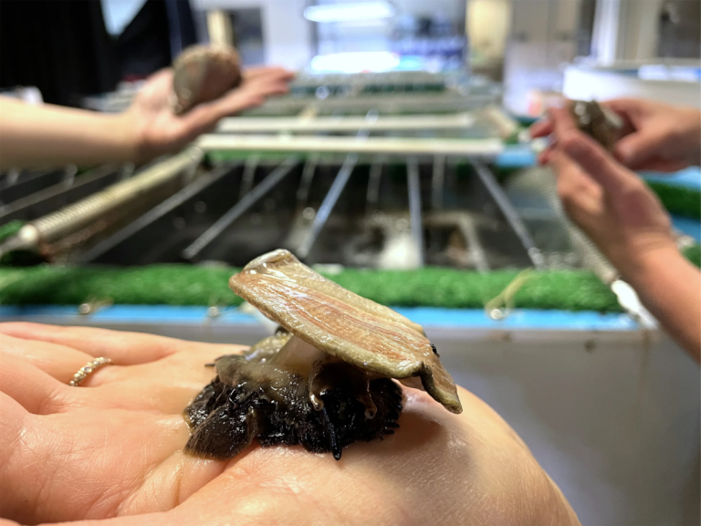
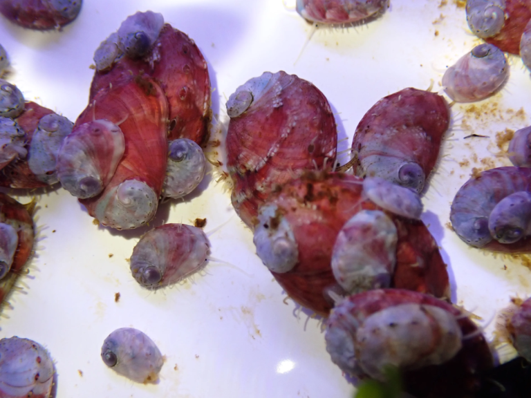
White abalone are among the most endangered marine species, with recovery dependent on carefully coordinated breeding, transport and outplanting. Working with UC Davis Bodega Marine Laboratory, Cabrillo Marine Aquarium and Aquarium of the Pacific, LightHawk transported 2,000–3,000 juvenile abalone to Southern California facilities, where they will continue growing before eventual release onto rocky Pacific reefs. Reducing transport time and handling helps protect these fragile animals during a critical stage of recovery.
LightHawk volunteer pilot Douglass Sisk provided the efficient air transport needed to move the juveniles safely between facilities.
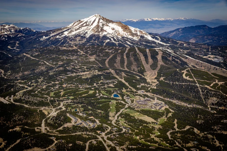
As communities grow, development can fragment wildlife habitat and close off migration corridors. Working with Montana Historical Society, LightHawk captured aerial imagery for an upcoming issue of Montana: The Magazine of Western History exploring how the state is adapting to rapid growth. The images will help readers see where development, open space and wildlife movement intersect across the landscape.
LightHawk volunteer pilot and program manager Chris Boyer provided the aerial perspective needed to document these patterns across a broad area.
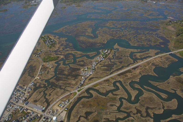
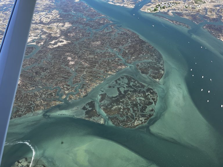
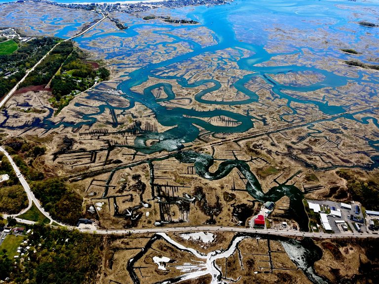
King Tide events along the New Hampshire coast offer a preview of how rising sea levels could affect coastal communities and ecosystems. Working with Surfrider Foundation and other conservation partners and local stakeholders, LightHawk continues a series of flights during peak tidal conditions to document vulnerable areas. The imagery makes future impacts visible today, helping inform coastal planning and resilience efforts.
LightHawk volunteer pilot Jim Schmidt provided the aerial perspective needed to document changing conditions across a broad stretch of coastline.
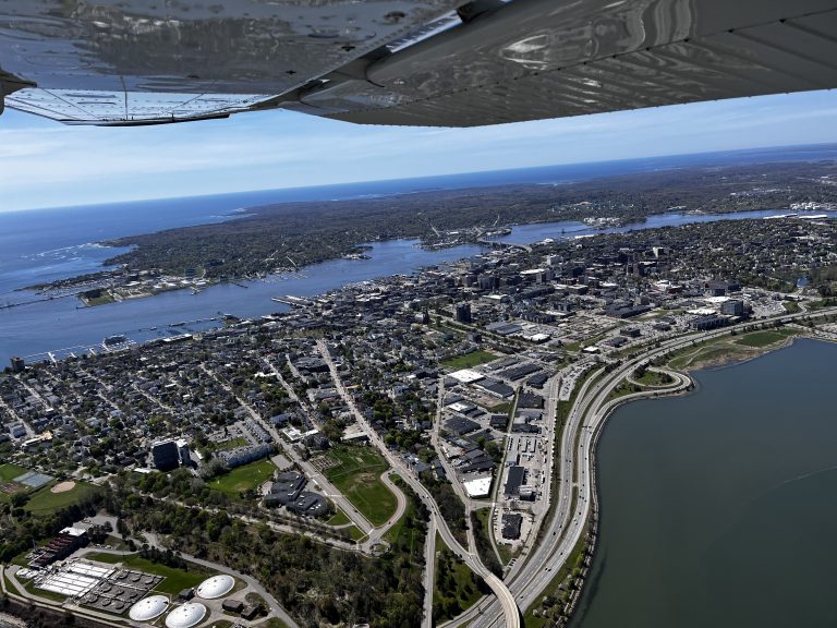
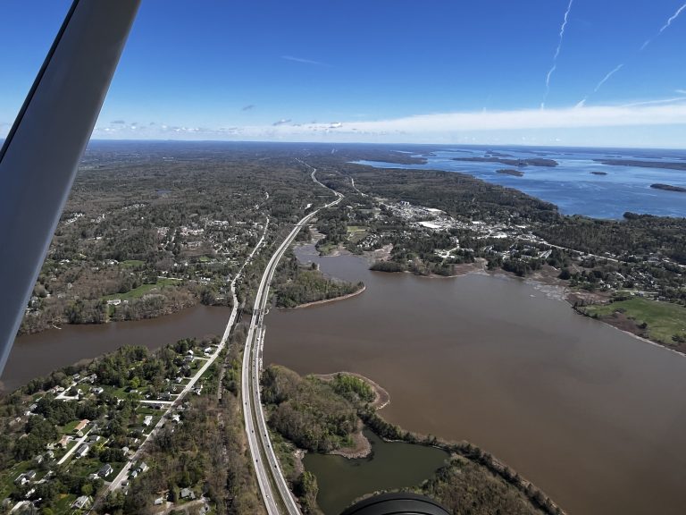
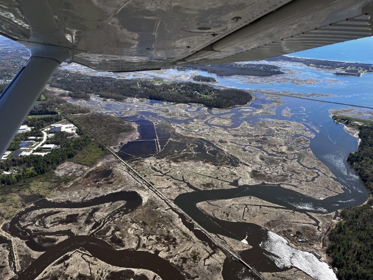
King Tides offer a glimpse of how rising seas could affect coastal communities in the future. Working with longtime partner Surfrider Foundation, LightHawk flew along the Maine coast to capture imagery of unusually high tides and vulnerable shoreline areas. The photos will help planners and communities better understand where flooding and erosion risks are emerging and inform efforts to prepare for future sea level rise.
LightHawk volunteer pilot Jim Schmidt provided the aerial perspective needed to document coastal conditions across a broad stretch of shoreline.
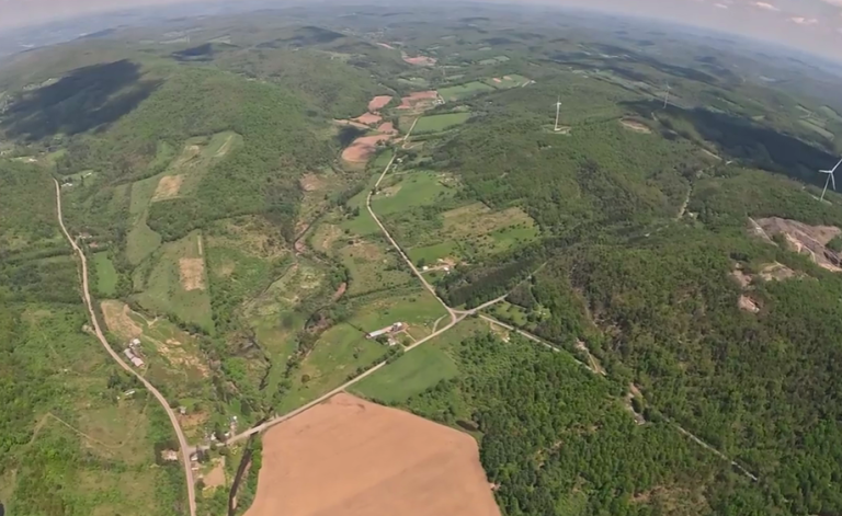
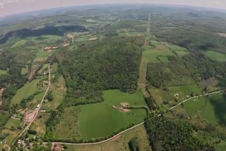
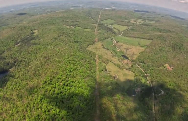
A proposed oil pipeline through New York and Pennsylvania could affect forests, waterways and wildlife habitat along its route. Working with Property Rights and Pipeline Center, LightHawk documented lands and waters that could be impacted by construction. The aerial imagery will help illustrate what is at stake along the corridor and strengthen efforts to protect sensitive landscapes and other important places.
LightHawk volunteer pilot Kent Wien provided the aerial perspective needed to document the proposed route across a broad and varied landscape.
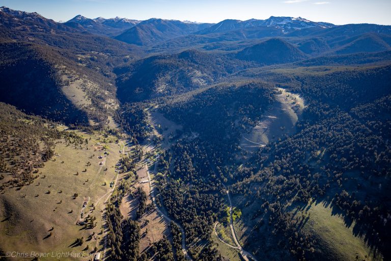
A proposed emergency timber harvest in Park County could move forward with fewer environmental reviews, raising concerns about potential impacts to the surrounding forest. Working with Park County Environmental Council, LightHawk captured aerial imagery of the proposed harvest area to help conservation advocates assess conditions and make the case for appropriate environmental review before any sale proceeds.
LightHawk volunteer pilot and program manager Chris Boyer provided the aerial perspective needed to document the landscape and give advocates a broader view of the area under consideration.
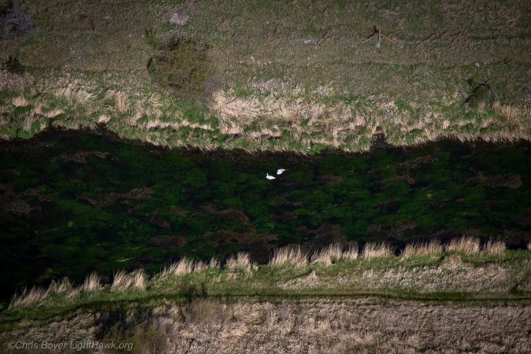
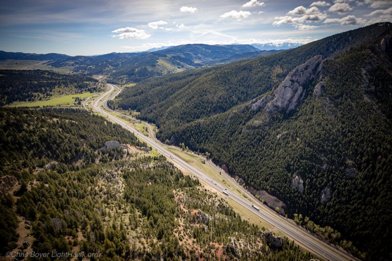
Working with Montana Fish, Wildlife & Parks, LightHawk surveyed nesting trumpeter swans in Paradise and Shields valleys, where wetlands and marshes can make ground-based monitoring difficult. The flight then shifted to Interstate 90 near Livingston and Bozeman, capturing imagery of common wildlife crossings for an NPR story about how highways affect animal movement and migration. Together, the missions provided information and imagery to strengthen wildlife monitoring and public understanding.
LightHawk volunteer pilot and program manager Chris Boyer combined both objectives into a single 3.5-hour flight, efficiently covering two very different conservation needs.
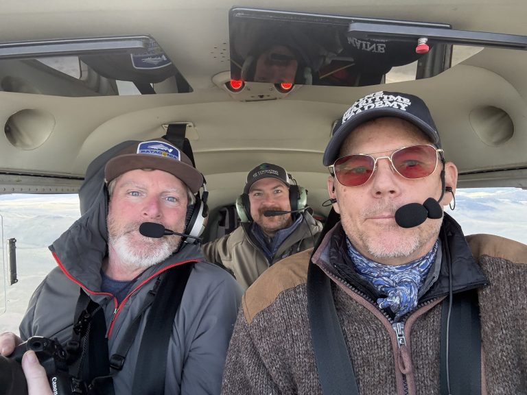
Activities along rivers can affect water quality, wildlife habitat and the health of the broader watershed. Working with Save Wild Trout, LightHawk flew sections of Montana’s Missouri River to document cattle operations overlapping with sensitive riparian areas. The imagery will help guide ground-based work to reduce nutrient pollution and protect water quality in the watershed.
LightHawk volunteer pilot and program manager Chris Boyer provided the aerial perspective needed to identify where land use and sensitive river habitat intersect.
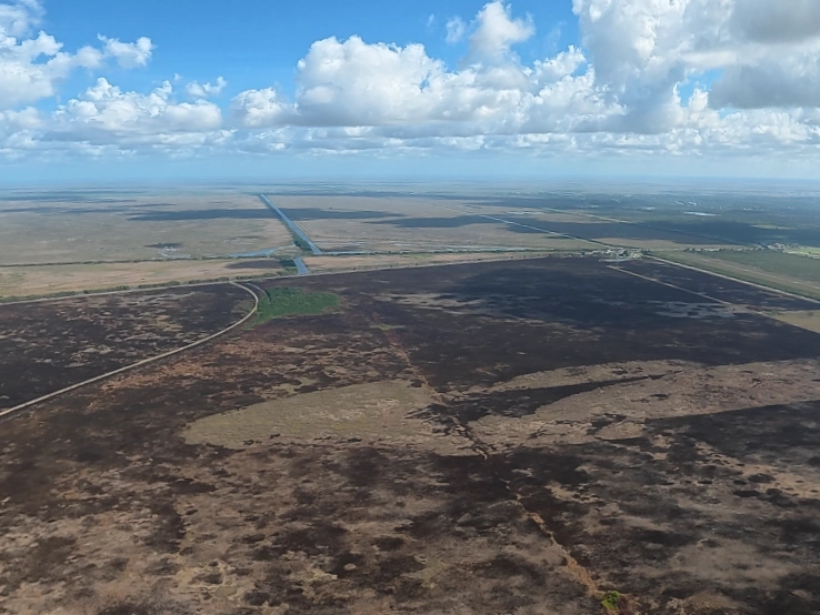
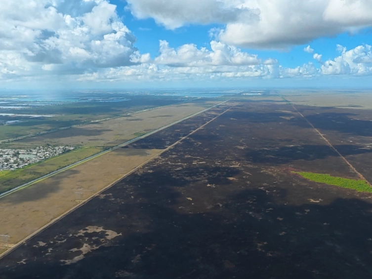
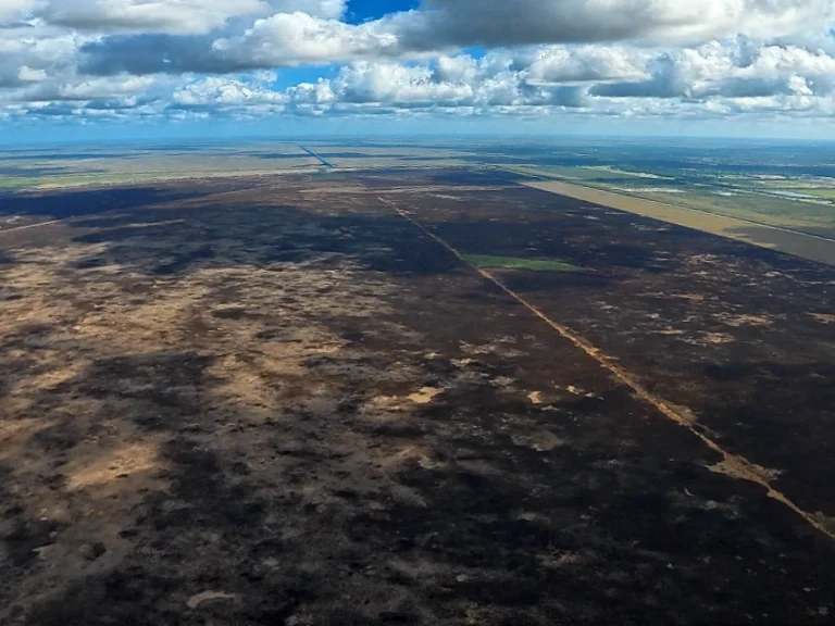
Drought has left parts of South Florida increasingly vulnerable to wildfire, with thousands of acres recently blackened in and around the Everglades. Working with Everglades Foundation, LightHawk flew over Broward County to document the scale and impacts of a large wildfire. Photos and video collected during the flight will help the foundation assess conditions and give the Miami Herald imagery to illustrate the broader effects of drought and fire across the landscape.
LightHawk volunteer pilot Adam Shapiro provided the aerial perspective needed to capture the extent of the burned area.
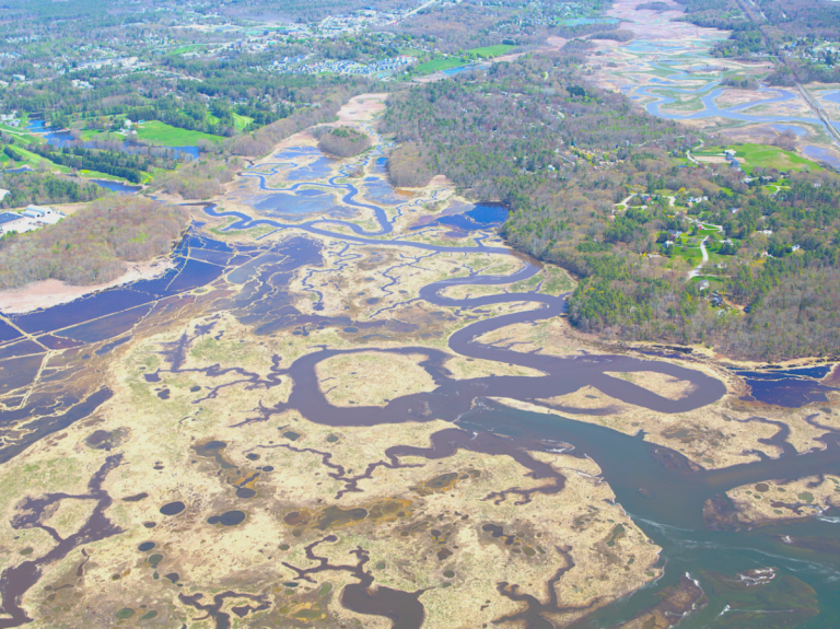
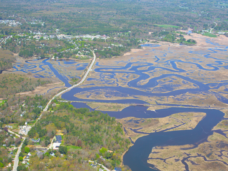
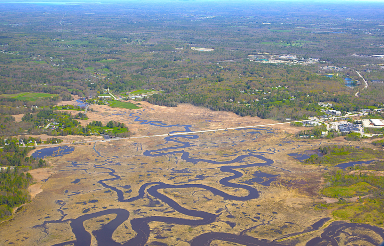
Marsh habitats can be difficult to access and monitor from the ground. Working with Scarborough Land Trust, LightHawk flew over protected landscapes in Maine to update aerial imagery of marsh habitats across the region. The photos will give the land trust a current view of conditions and help inform its ongoing stewardship and protection of these sensitive areas.
LightHawk volunteer pilot Jim Schmidt provided the aerial perspective needed to efficiently document marsh habitats across a broad landscape.
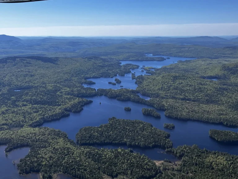
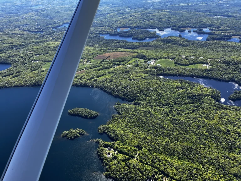
Monitoring thousands of acres and documenting projects along rivers and waterways can require significant time and resources. Working with High Peaks Alliance, Pierce Pond Watershed Trust, and Georges River Land Trust, LightHawk combined three photography missions into a single flight. The imagery collected will help each organization document conditions, communicate the value of these places, and advance conservation work across Maine.
LightHawk volunteer pilot Jim Schmidt provided the aerial access needed to efficiently cover multiple landscapes and waterways in one mission.
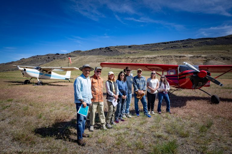
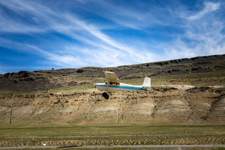
From the ground, it can be difficult to see how roads, development and other barriers fragment wildlife habitat. Working with Center for Large Landscape Conservation, LightHawk flew board members over northern Greater Yellowstone to see these challenges firsthand and better understand how landscape connectivity affects wildlife movement across the region.
LightHawk volunteer pilots Mike Vivion, Ray Lee and Chris Boyer provided the aerial perspective needed to see the broader landscape and the connections, and barriers, that are difficult to grasp from the ground.
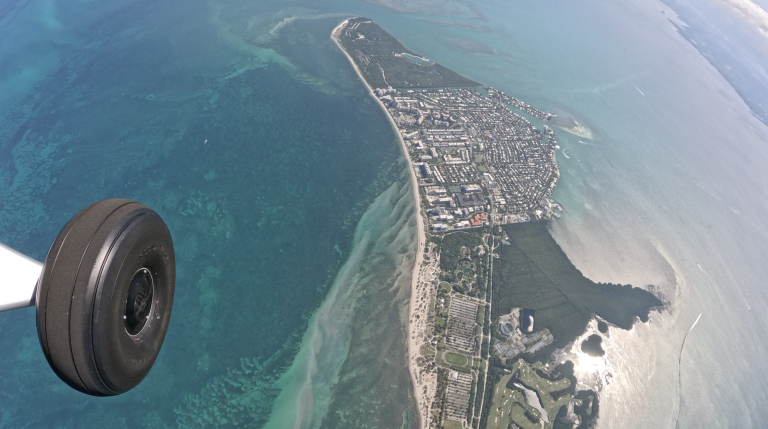
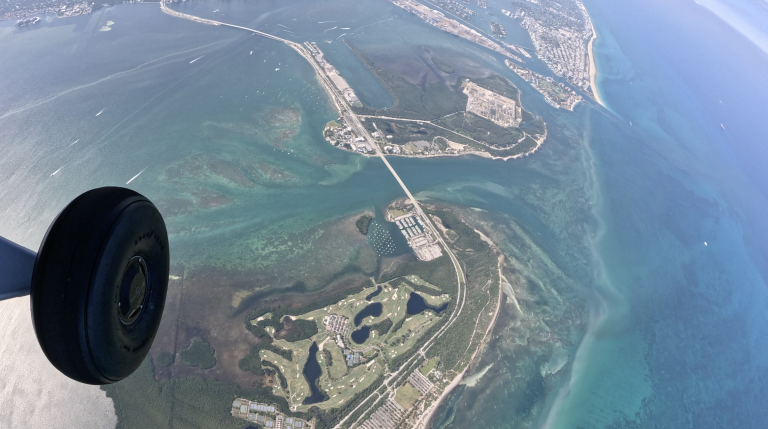
Water quality is central to South Florida’s communities, economy and wildlife. Working with Miami Waterkeeper, LightHawk conducts monthly aerial monitoring near the Port Everglades expansion area to document changing conditions over time. Mounted cameras capture imagery of ongoing activity, including areas where sediment plumes have been reported. The footage gives Miami Waterkeeper a consistent record to review for potential impacts and changes in water conditions.
LightHawk volunteer pilot Alan Kinback provided the aerial access needed to continue this ongoing monitoring effort.
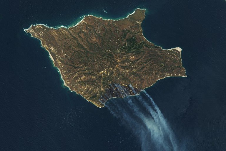
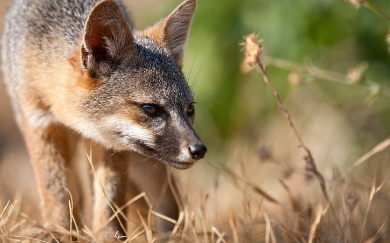
Channel Island foxes once came dangerously close to extinction. Although their populations have recovered, continued monitoring is critical to protecting that progress. Each month, LightHawk works with conservation partners to conduct aerial telemetry surveys over California’s Channel Islands, checking for fox mortalities and signs of emerging threats. When a mortality is detected, partners can recover the animal for further study and determine whether action may be needed to protect the population.
LightHawk volunteer pilot Barbara Filkins continued her commitment to this long-term effort by providing another monthly monitoring flight.
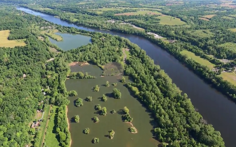
The islands of the Delaware River hold both cultural and ecological significance, but their story can be difficult to understand from the shoreline alone. Working with The Philadelphia Inquirer, LightHawk flew journalist Gabe Coffey over the river to capture photos and video for a story exploring the islands’ history and importance. The aerial imagery will help readers better understand the islands in relation to the river and surrounding landscape.
LightHawk volunteer pilot Gilberto Velez-Domenech provided the aerial perspective needed to document the islands from above.
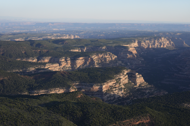
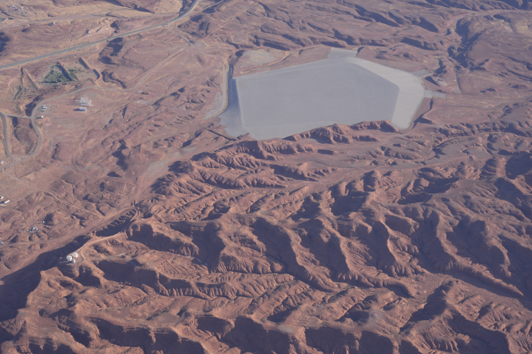
The landscapes around Bears Ears hold the history of the Posie War, an event that brought profound loss of land and freedom to a Native community. Working with photographer Dave Showalter and Indigenous storyteller, educator and leader Angelo Baca, LightHawk provided an aerial perspective for Baca’s 100 Years of Silence project. Showalter’s photographs will help connect the story to the places where it unfolded and bring that history to broader audiences.
LightHawk volunteer pilot Chuck Schroll provided the flight and expertise needed to document this expansive landscape from above.
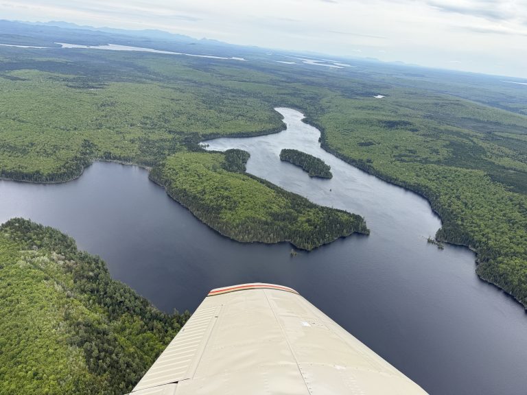
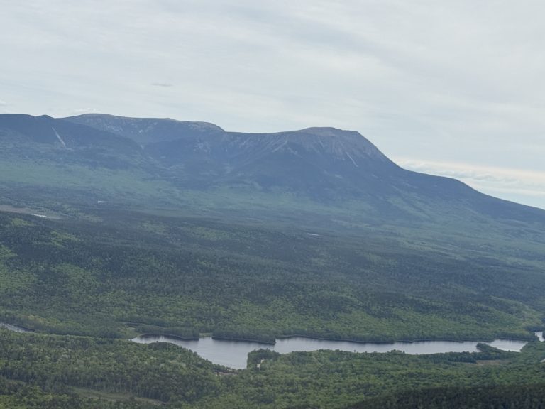
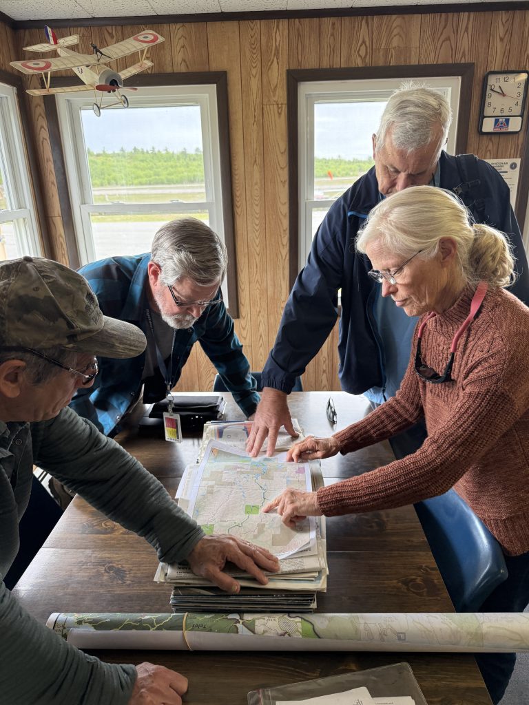
Protecting a vast waterway requires understanding what is happening across the landscape. Working with Allagash Wilderness Waterway Foundation, LightHawk flew over the Allagash River to assess current conditions and inform future conservation planning. As passenger Jerry Bley noted, “While maps and GoogleEarth are invaluable tools, they don’t take the place of seeing a landscape in person.”
LightHawk volunteer pilot Archer Olmer provided the aerial perspective needed to see the protected waterway as a connected landscape and identify areas that may warrant closer attention.
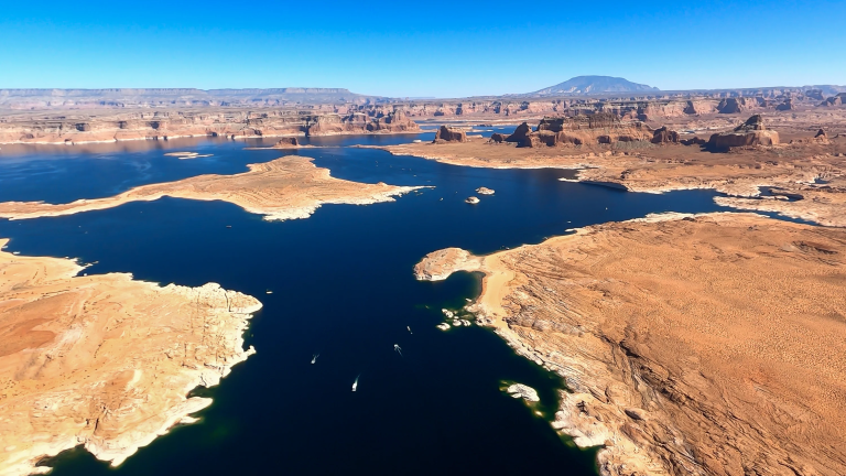
After a record-low snowpack, concern is growing over Colorado River water supplies that communities and agriculture across the Southwest depend on. Working with KTVX, LightHawk brought journalists over the basin to capture imagery showing the scale of the problem as Lake Powell approached minimum power pool. The resulting coverage helped audiences better understand how weak snowpack translates into shrinking water supplies and broader consequences across the region.
LightHawk volunteer pilot Chuck Schroll provided the aerial perspective needed to document those changes across the basin.
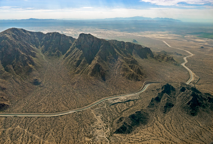
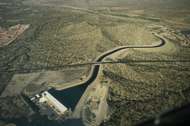
The 336-mile Central Arizona Project delivers Colorado River water to communities serving more than 80% of Arizona’s population. Working with The Arizona Republic, LightHawk flew a reporter along the canal from Lake Pleasant to Lake Havasu to capture imagery for coverage examining the CAP’s history and the water challenges it faces today.
LightHawk volunteer pilot Will Worthington, who served as the project’s chief engineer in the 1970s, brought a unique perspective to the flight while providing the aerial access needed to document this critical water system.
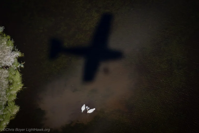
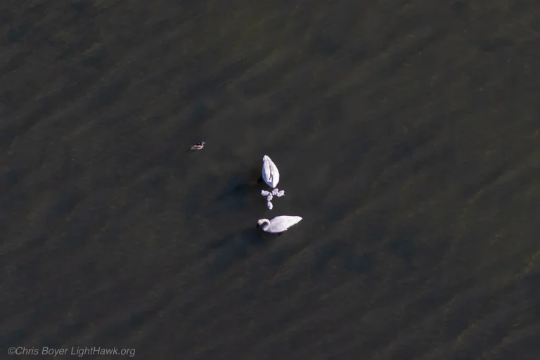
A century ago, trumpeter swans were nearly extinct, with only about 100 birds remaining, largely around Yellowstone and Montana’s Red Rock Lakes. Decades of recovery work have helped rebuild the population, but continued monitoring remains essential. Working with Centennial-Jackson Valleys National Wildlife Refuge Complex and Wyoming Wetlands Society, LightHawk conducted aerial surveys to track swan populations and reproductive success. The data will help guide ongoing management and recovery efforts.
LightHawk volunteer pilot and staff member Chris Boyer provided the aerial perspective needed to survey these remote wetland landscapes efficiently.
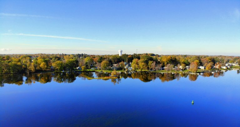
Monitoring boat use on Oneida Lake has traditionally required days of travel by boat, making surveys costly and infrequent. Working with Cornell University Biological Field Station, LightHawk conducted a series of aerial surveys to count anglers across the 20-mile-long lake. Covering the lake from the air allows researchers to gather the same type of information more efficiently and more often, helping them better understand angler use and its relationship to the lake’s ecosystem.
LightHawk volunteer pilot Robert Keller provided the flights for this survey series.
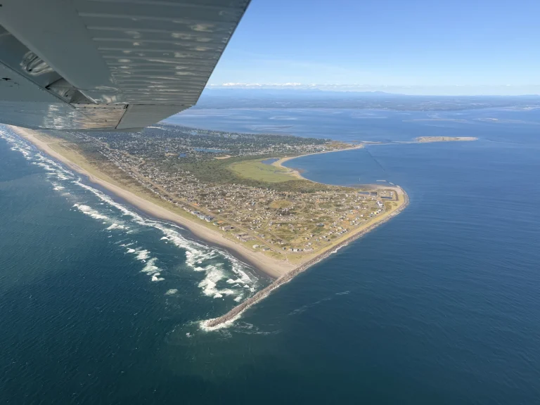
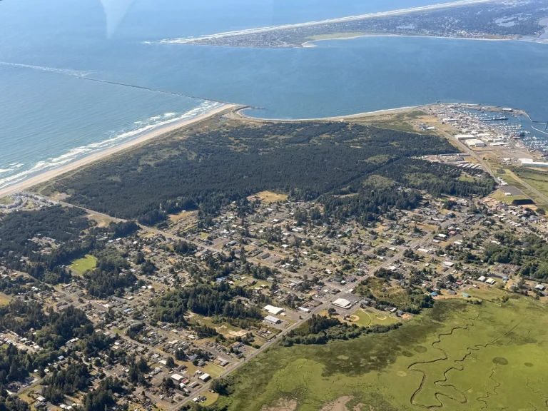
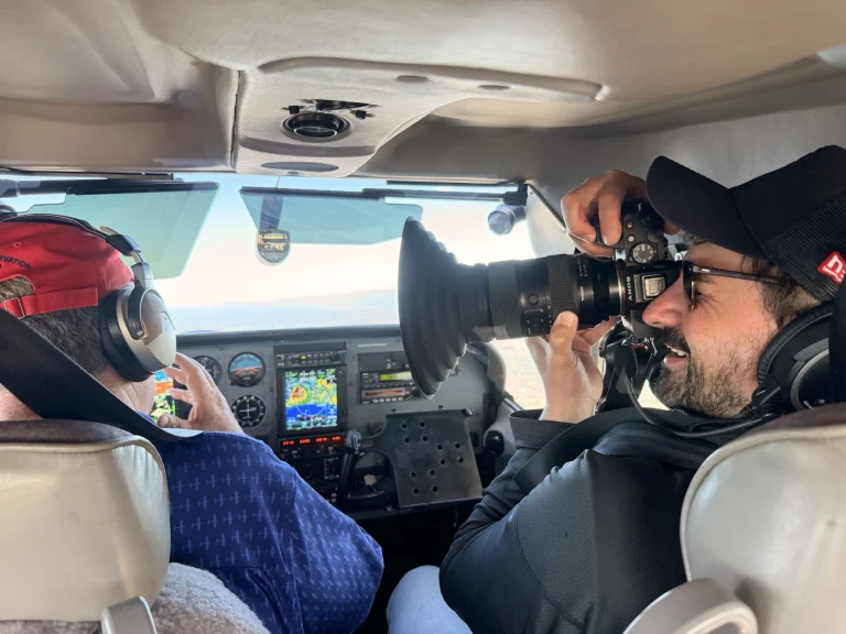
Coastal communities need to understand how sea level rise and erosion could affect infrastructure, public lands, and future development. Working with Surfrider Foundation, LightHawk flew over the mouth of Grays Harbor and Damon Point to capture imagery showing these changing coastal conditions. The images will help the public and local planners better visualize potential impacts on Westport Light State Park and surrounding areas.
LightHawk volunteer pilot Lane Gormley provided the aerial perspective needed to see shoreline change and development pressures across the broader coastal landscape.
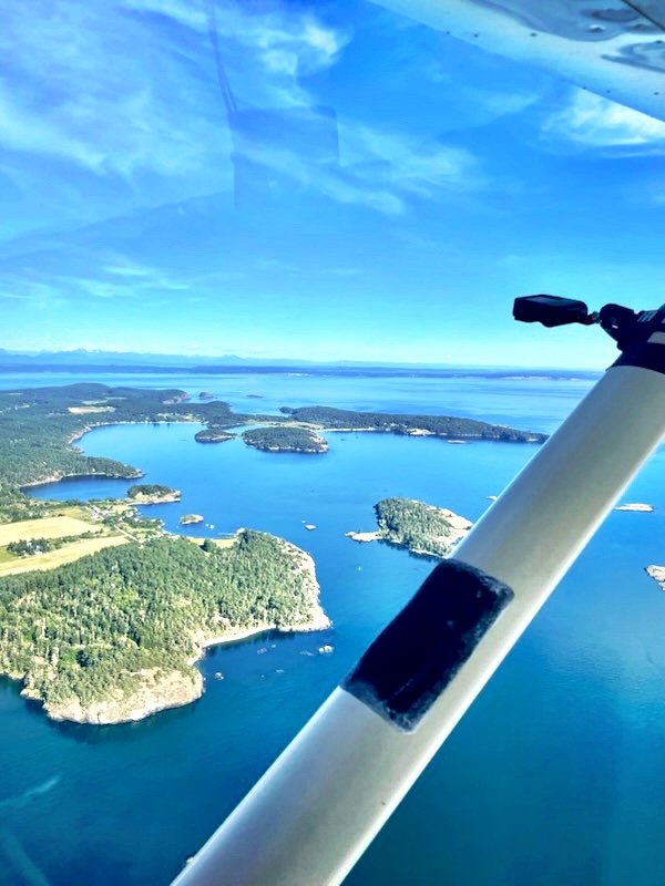
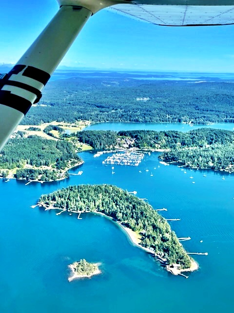
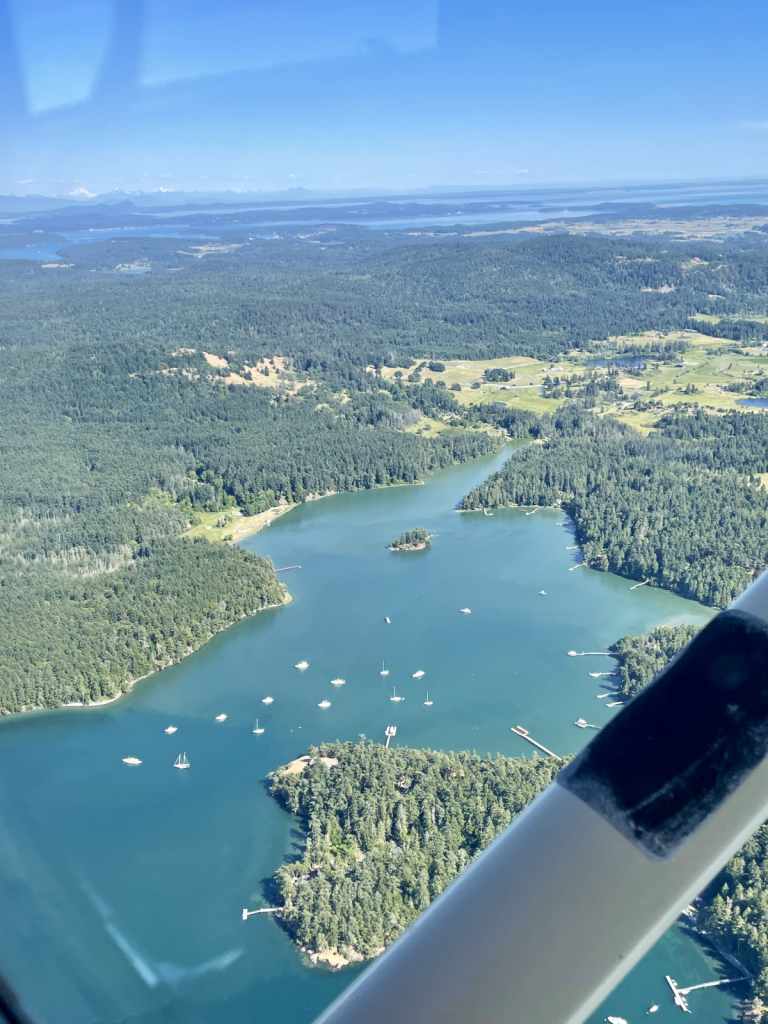
Eelgrass beds around Washington’s San Juan Islands provide important habitat for marine life, but boat anchoring can damage these sensitive areas. Working with Washington State Department of Natural Resources and Washington Department of Fish and Wildlife, LightHawk continued a multi-year effort to document boating activity over eelgrass habitat. Time-lapse cameras and onboard observations record where boats are anchoring, giving agencies information they can use to better understand impacts and protect these important marine ecosystems.
LightHawk volunteer pilot Roy Lewallen provided the aerial perspective needed to survey broad areas efficiently and consistently.
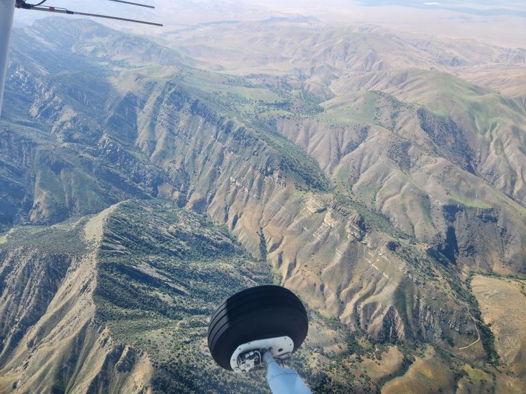
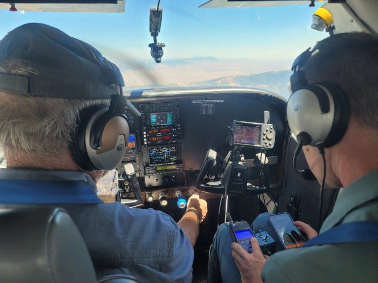
With more than 400 California condors now in the wild, the species has made significant progress but remains at risk. Because condors range across hundreds of square miles, locating missing birds can be difficult. Working with Santa Barbara Zoo, LightHawk used aerial telemetry to search for missing condors and strengthen ongoing population monitoring. The flight located the targeted birds and detected an additional 19.
LightHawk volunteer pilot Will Worthington provided the aerial access needed to cover a broad search area efficiently and detect telemetry signals difficult to reach from the ground.
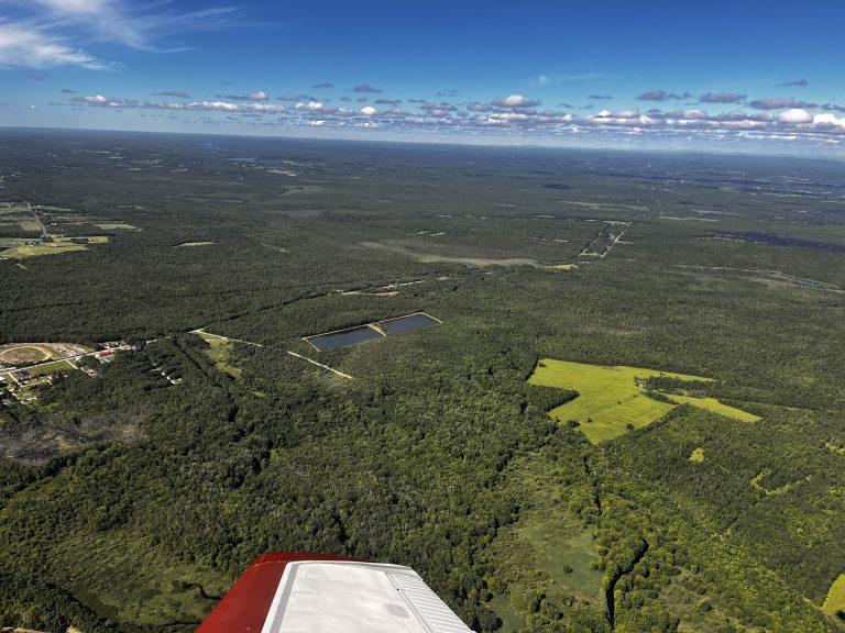
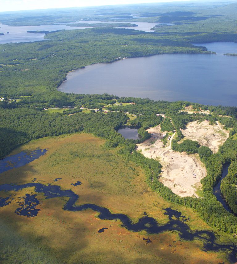
Across Central Maine, conservation organizations are responsible for monitoring large areas of working forests, wild lands, watersheds, and conserved properties. Working with Sebasticook Regional Land Trust and 7 Lakes Alliance, LightHawk conducted aerial monitoring of lands in their care. Photos and video collected during the flight will help both organizations document these landscapes and create educational materials that strengthen their work to conserve lands and waters across the region.
LightHawk volunteer pilot Scott Cianchette provided the aerial perspective needed to efficiently view and document large areas that would be difficult to assess as a whole from the ground.
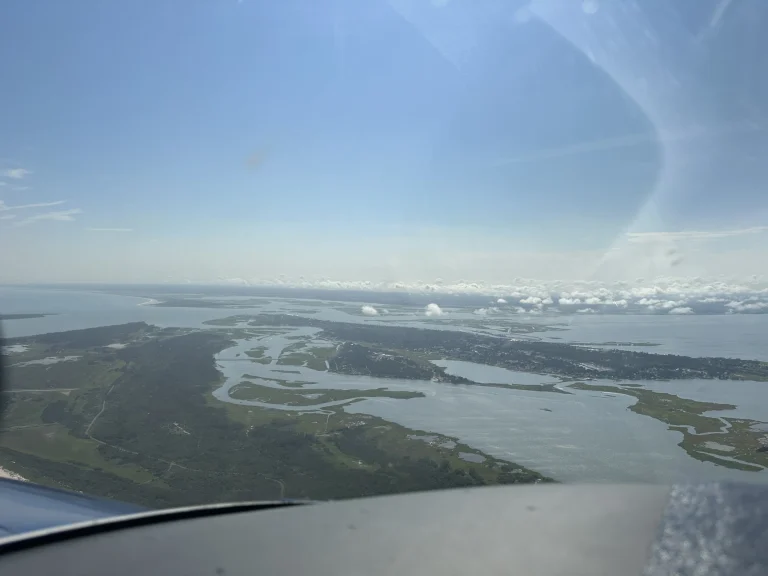
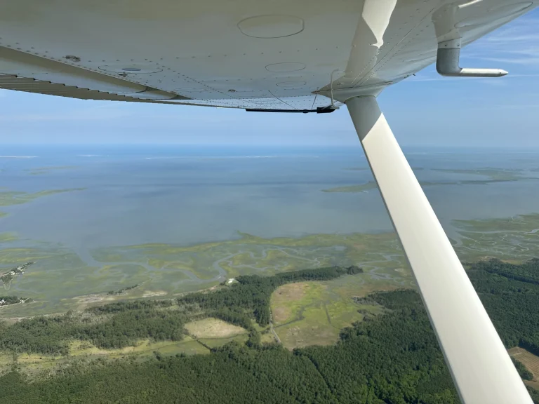
As the climate warms and sea levels rise, communities along the coasts need better data to plan for a future where high tides threaten existing infrastructure. To give planners a sense of what is to come, the flight took off to document King Tide events along the Maryland coastline.
King Tide events are unusually high tides that illustrate what a normal high tide will look like as sea levels rise. Imagery collected during these flights can help municipalities better plan infrastructure and take action to mitigate the impact of rising sea levels on their communities.
Volunteer pilot Robert Panebianco provided this flight.
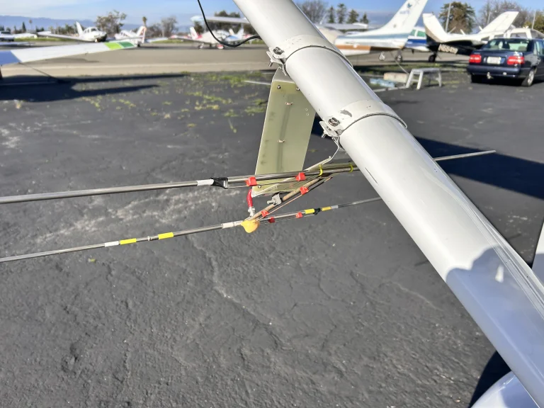
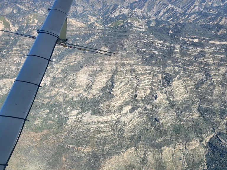
Conservation partner Ventana Wildlife Society reached out to us for assistance in locating California condor 1031. Her last GPS transmission was at the beginning of June and it hasn’t been detected since. As a nesting female, it is highly unusual for her to be undetected for such a long period.
LightHawk volunteer pilot Mark Dedon took to the sky with VWS staff and a radio telemetry antenna in an attempt to locate the condor from the air. Starting near her nesting site, the flight expanded the search area, covering more area than is possible from the ground.
A secondary goal was to locate condor 566, a male who usually spends time in the same area that is inaccessible to to tracking attempts from the ground.
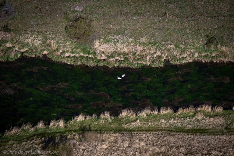
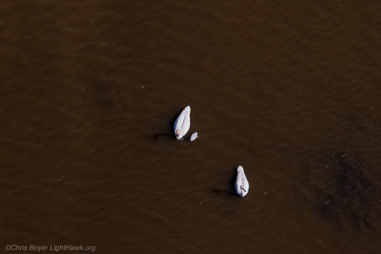
Trumpeter swans have made a remarkable comeback, but continued monitoring is critical to understanding how the population is doing. Working with the Blackfoot Challenge, LightHawk returned to Montana’s Blackfoot and Clearwater river systems to survey nesting swans and their cygnets. The findings help wildlife managers track reproductive success and adapt conservation strategies as this once nearly extinct species rebuilds its population.
LightHawk volunteer pilot and staff member Chris Boyer provided the aerial perspective needed to cover the river systems efficiently and document the birds from above.
53/50 flights logged
Follow along each summer as new missions land on the map.
More from the LightHawk Newsroom
Pilot View
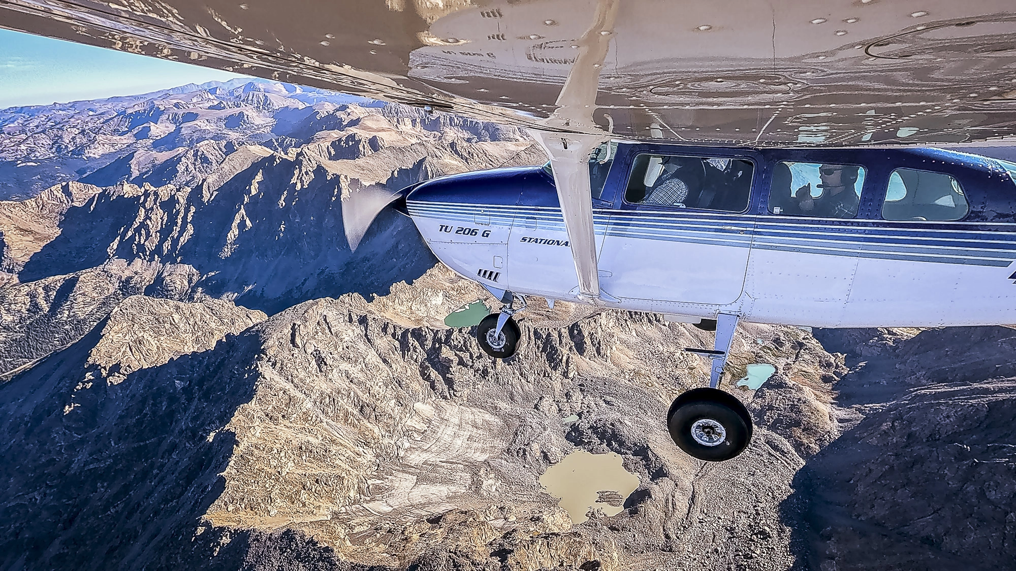
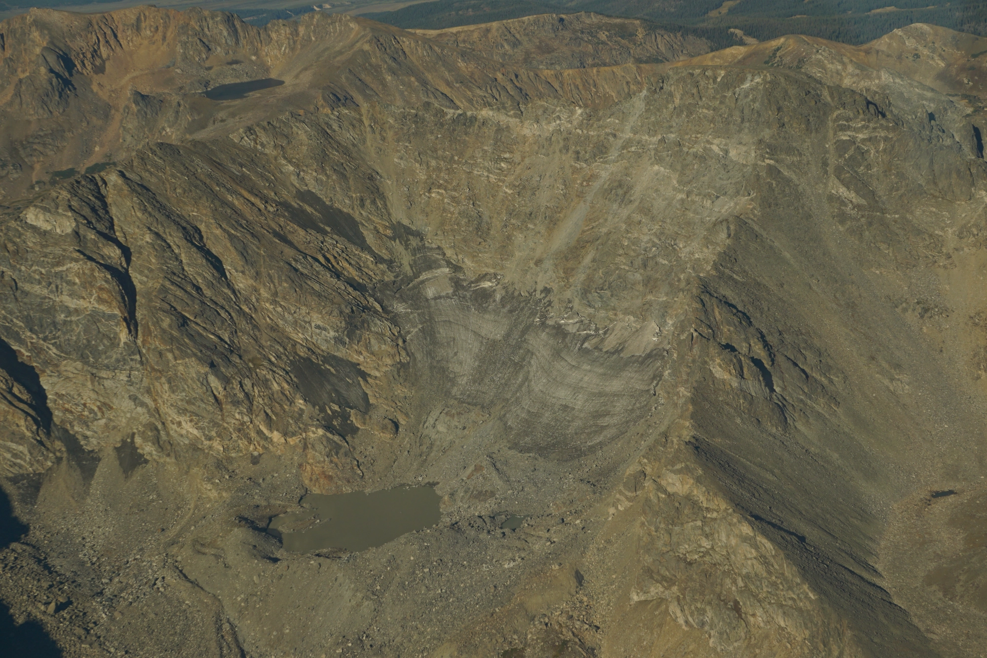
Pilot’s View: Above Colorado’s Changing Glaciers
Following a year of record-low snowfall, Colorado State University researchers are documenting how the state’s glaciers are changing. To capture…
Flown with Colorado State University
Featured Mission
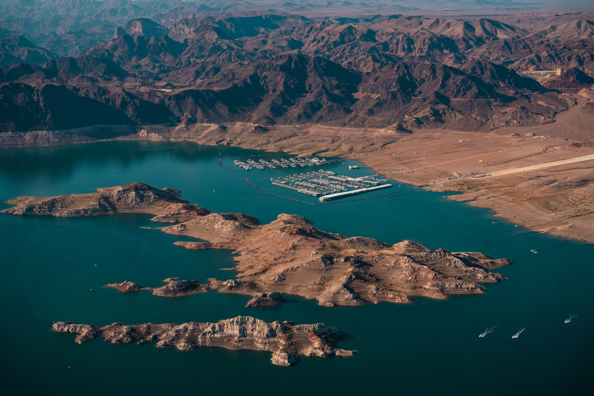
Twelve Glaciers. Two and a Half Hours.
Colorado’s glaciers and perennial snowfields are shrinking. Documenting those changes means reaching remote mountain sites and gathering photographs from many…
Flown with Colorado State University
Featured Mission
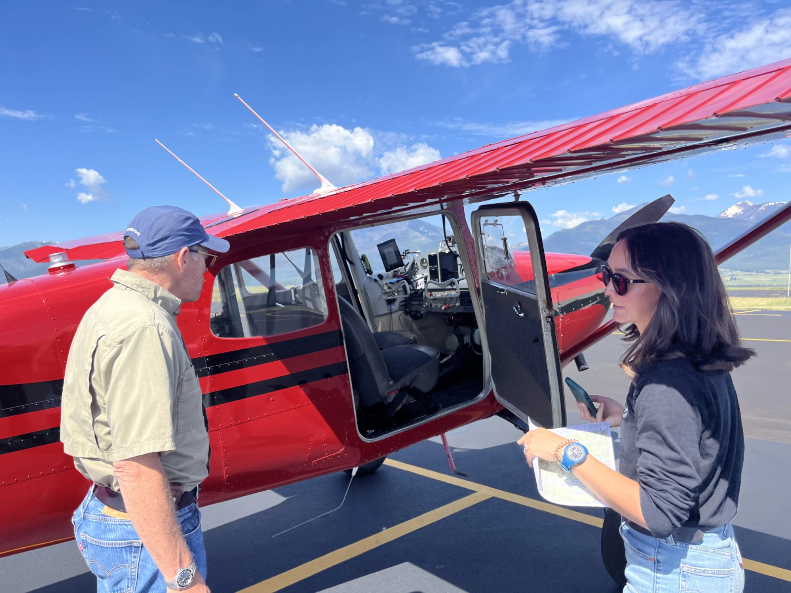
From 1,300 Miles on Foot to One Powerful View from Above
Starting high in the Rocky Mountains, the Colorado River winds south through some of the most dramatic and heavily used…
Flown with Keep the River Running
Focus: Waterways
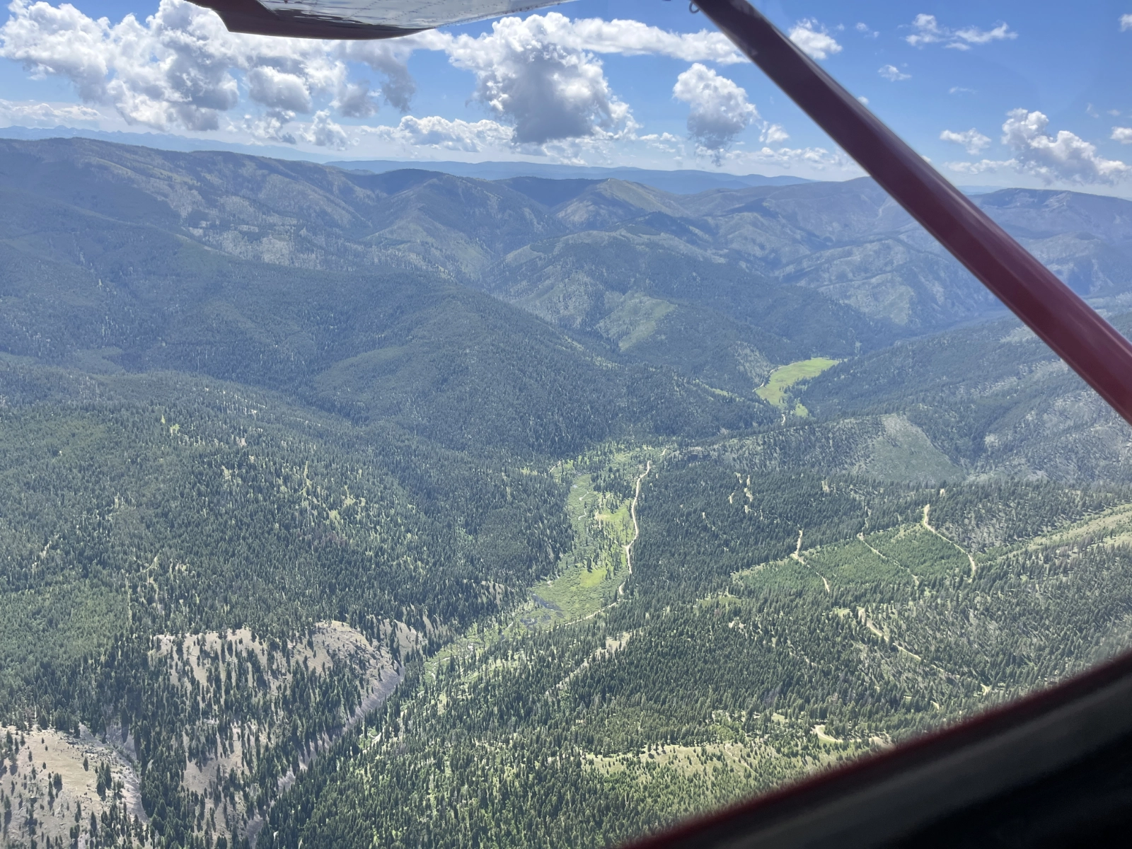
Pilot View: Flying Montana’s Bitterroot Valley
“Ray Lee is a true professional.” That’s how Northern Rockies Program Manager Chris Boyer described Lee after a recent LightHawk…
Featured Mission
Aerial Tours Expose Mine Risk to Bitterroot Watershed
The Bitterroot River winds through a picturesque valley in Western Montana, its meandering path carving a winding streambed across the…
Voices from the challenge
The Challenge continues. Help us finish strong.
Follow every flight, and help us put the power of aviation to work for conservation.