
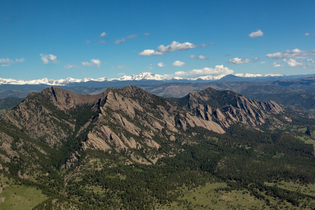
Watersheds
Nurturing nature’s watersheds
From water-quality monitoring to habitat restoration, LightHawk flies to ensure our rivers and wetlands remain vibrant and healthy ecosystems for all who call them home.
The Focus
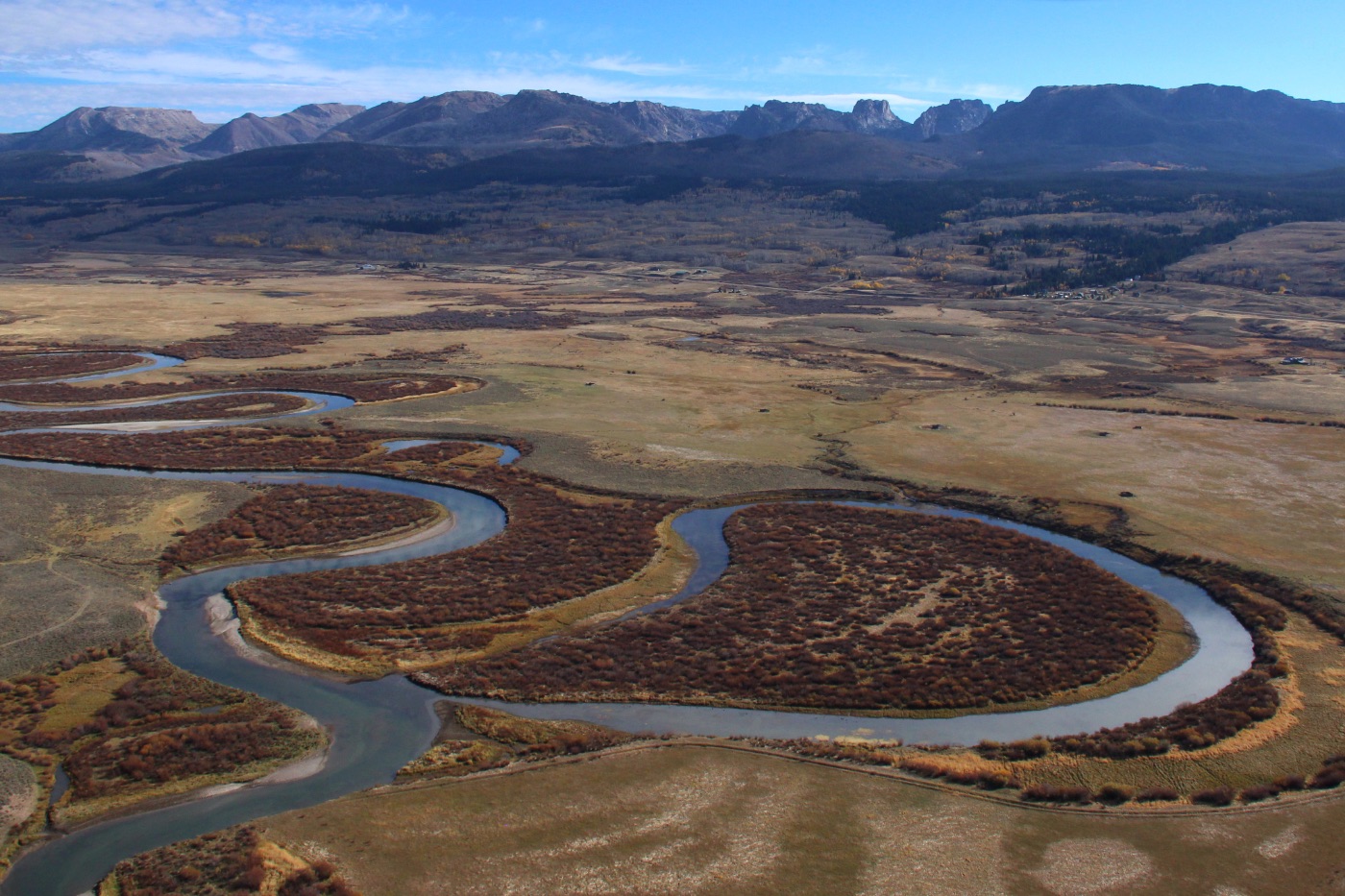
Rivers are the arteries of the continent
And nowhere is their story clearer than from a light aircraft at a thousand feet. Braided channels, drying deltas, restored wetlands, and the slow return of a river after dam removal: these are patterns no ground survey can capture whole.
LightHawk flies for the rivers and watersheds that connect ecosystems and communities across the country, from the Colorado River, lifeline to 40 million people and 5.5 million acres of farmland, to the Klamath River and the Everglades, giving scientists and water managers the recurring aerial record they need to act.
From the Flight Log
Recent developments
Featured Mission
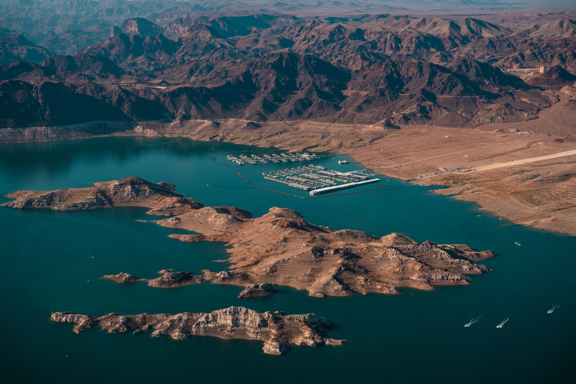
From 1,300 Miles on Foot to One Powerful View from Above
Starting high in the Rocky Mountains, the Colorado River winds south through some of the most dramatic and heavily used…
Flown with Keep the River Running
Focus: Waterways
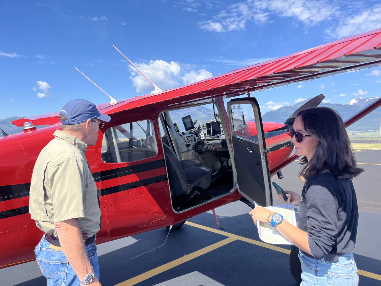
Pilot View: Flying Montana’s Bitterroot Valley
“Ray Lee is a true professional.” That’s how Northern Rockies Program Manager Chris Boyer described Lee after a recent LightHawk…
Featured Mission
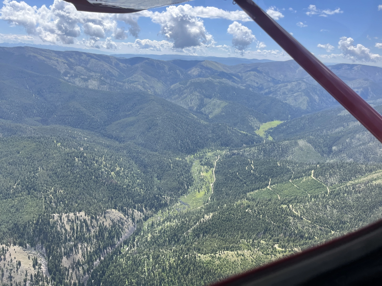
Aerial Tours Expose Mine Risk to Bitterroot Watershed
The Bitterroot River winds through a picturesque valley in Western Montana, its meandering path carving a winding streambed across the…
Focus: Waterways
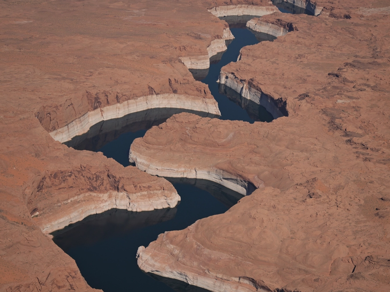
Pilot View: Capturing Aerial Perspective on the Colorado River
The Colorado River Basin is an area of intense interest this year. Record low snowfall has left the river system…
Featured Mission
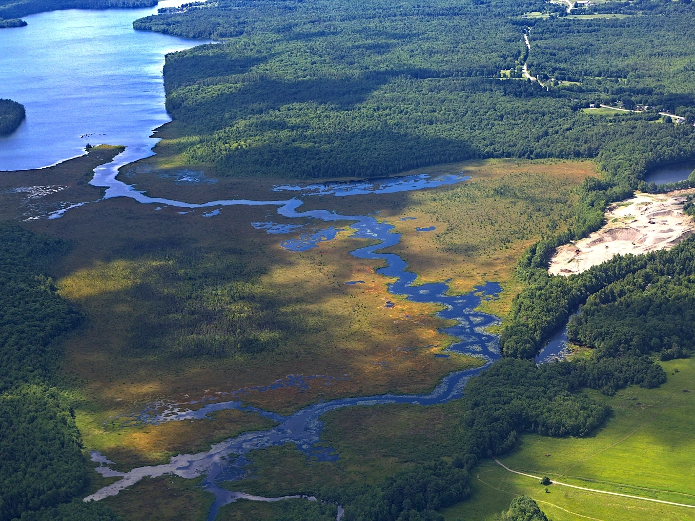
Protecting Maine’s Landscapes and Waterways
There’s a narrow stretch of water in central Maine called the Serpentine that connects East and North Ponds. From the…
Featured Mission
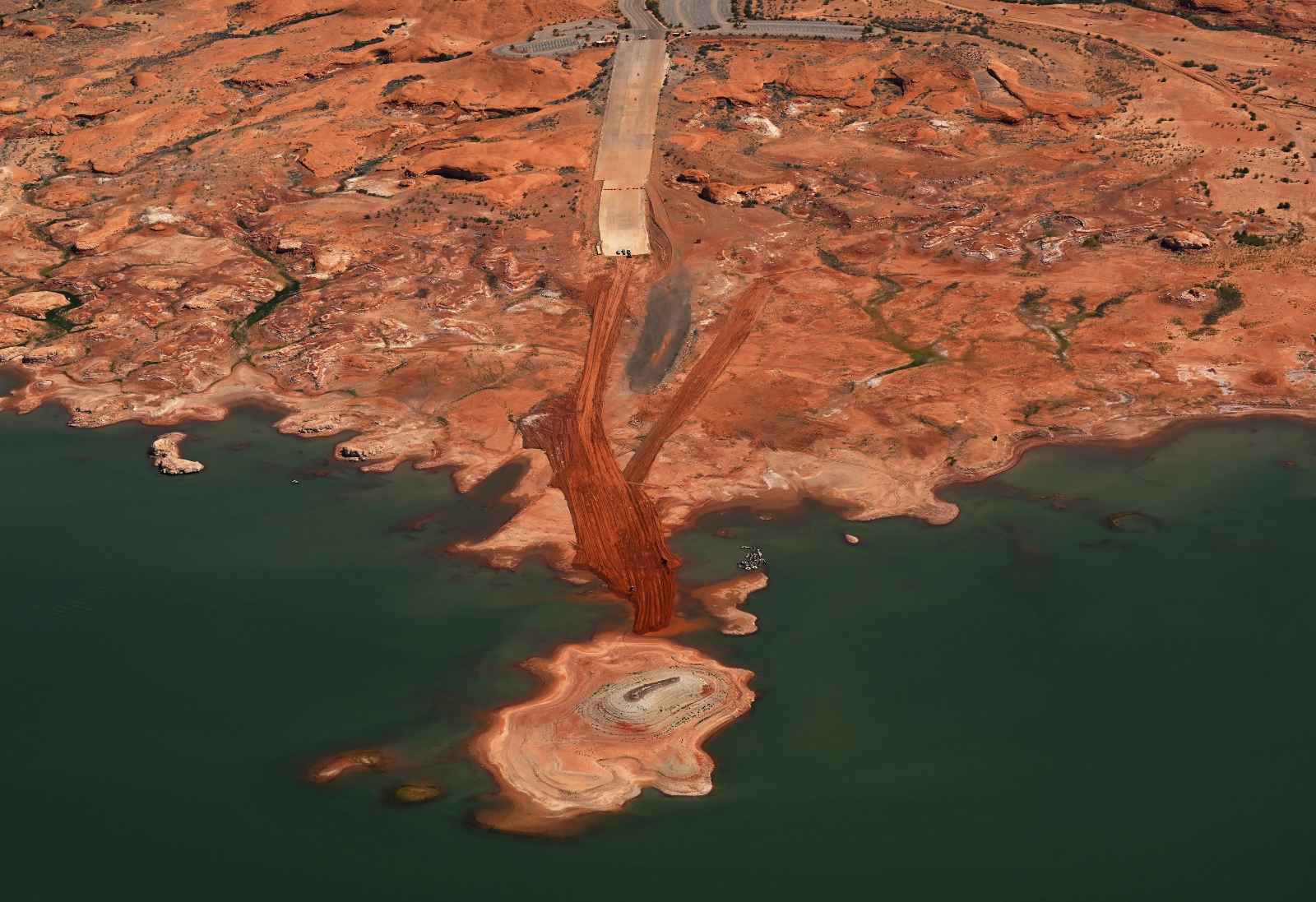
Telling the Story of a River Under Pressure
The Colorado River supplies water to nearly 40 million people, supports agriculture across the Southwest, and sustains communities, wildlife, and…
Keep Exploring
More priorities
 Priority
Landscapes
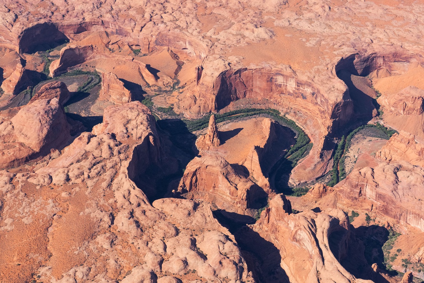
Using aviation to ensure a sustainable future for our planet’s most remarkable and ecologically important landscapes.
Explore Landscapes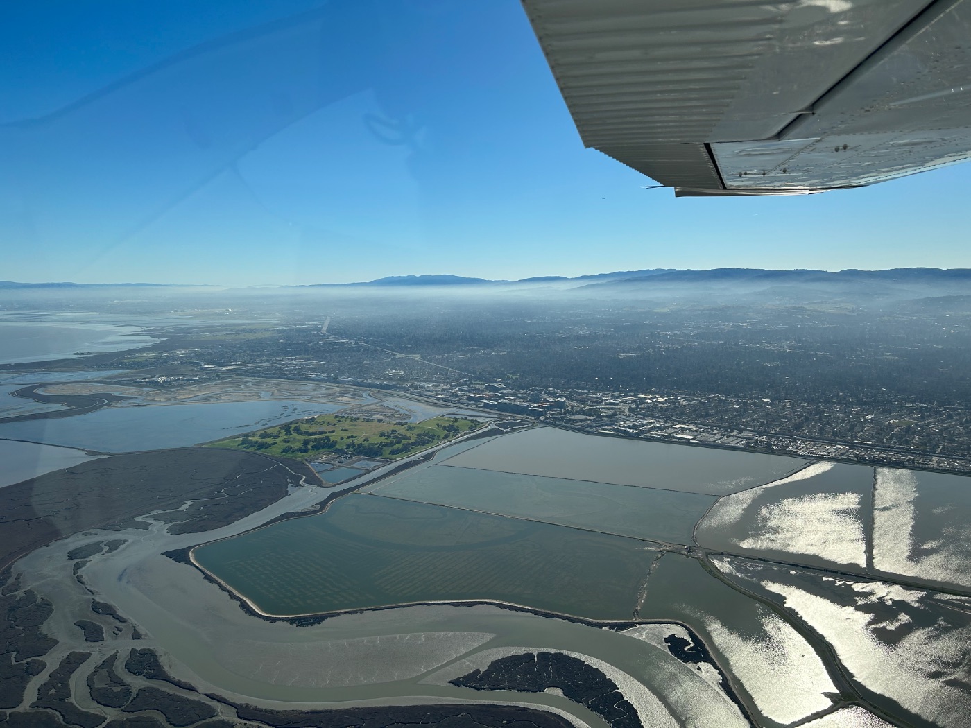 Priority
Coastlines
Taking flight to protect oceans, coastlines, and the rich biodiversity that coastal communities depend on.
Explore Coastlines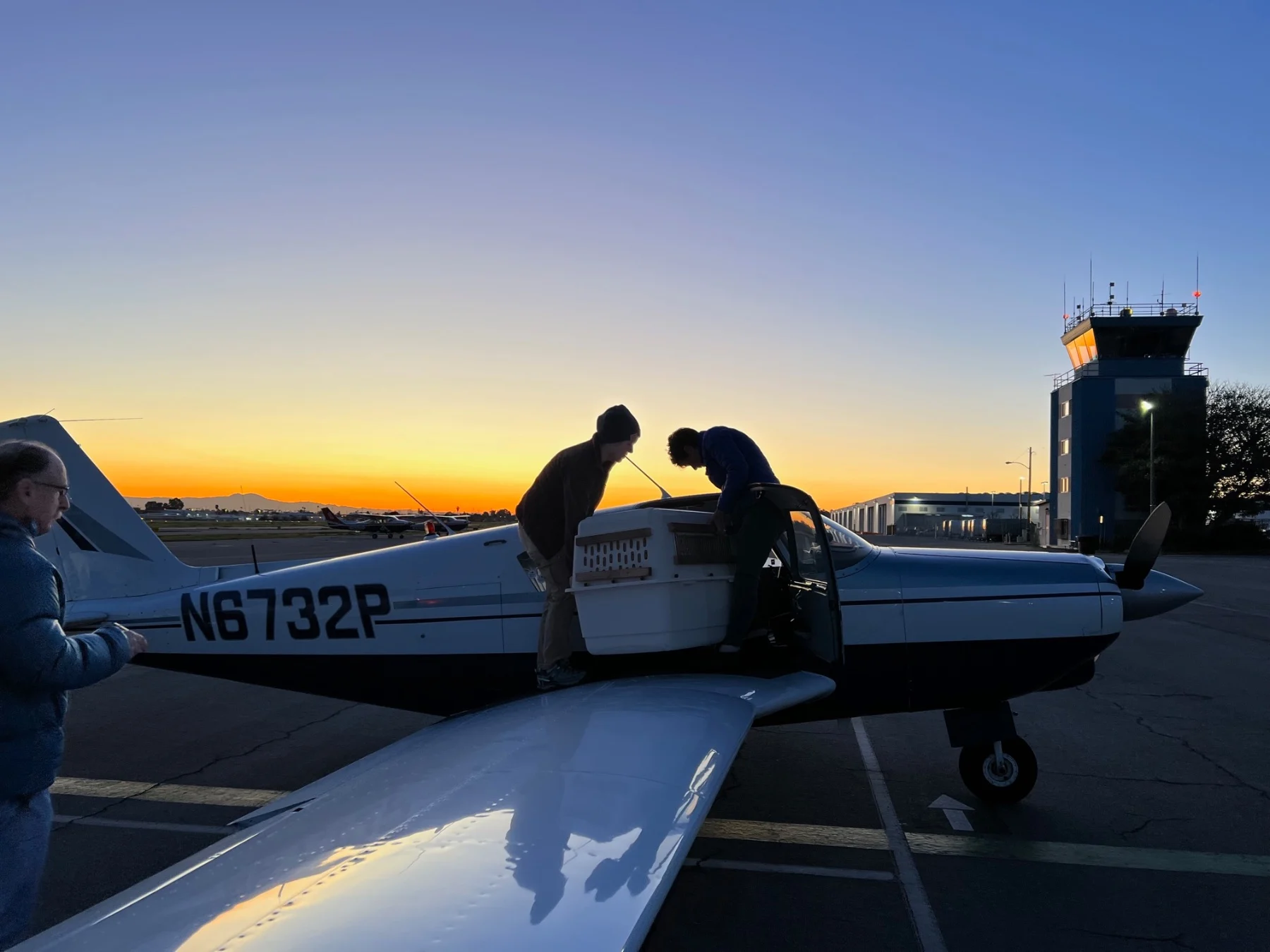 Priority
Wildlife
A lifeline for endangered species — from safe wildlife transport to aerial tracking and habitat connectivity.
Explore WildlifePut the aerial perspective to work.
If your organization works on watersheds conservation, a LightHawk flight is available at no direct cost to qualifying partners.