
The Colorado River supplies water to nearly 40 million people, supports agriculture across the Southwest, and sustains communities, wildlife, and ecosystems throughout the basin. Yet after decades of drought and growing demand, the river remains under immense pressure.
While strong snowpack years in 2024 and 2025 helped stabilize conditions at Lake Powell and Lake Mead, the winter of 2025-2026 brought exceptionally low precipitation across much of the basin, renewing concerns about the river’s long-term future.
Helping people understand these challenges is a critical part of finding solutions.
In late April, LightHawk partnered with Denver Post photojournalist RJ Sangosti to document current conditions at Lake Powell and Lake Mead from the air. The flight provided a unique perspective on the scale of the reservoirs and the visible impacts of declining water levels.
This was not Sangosti’s first flight with LightHawk. Over the years, he has worked with LightHawk pilots to photograph landscapes throughout the Colorado River Basin, producing imagery that has accompanied dozens of stories exploring drought, water management, and the future of the river.
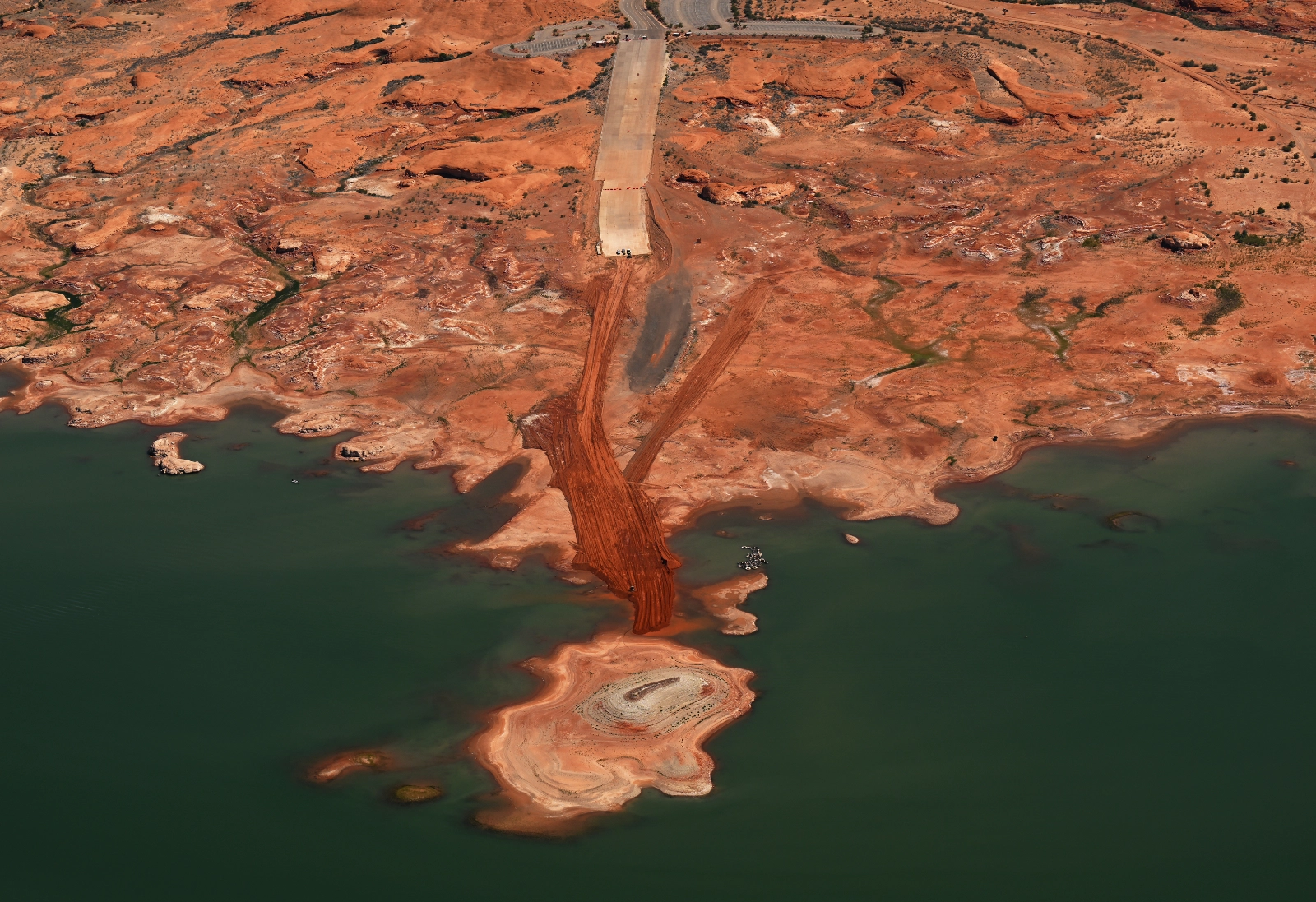
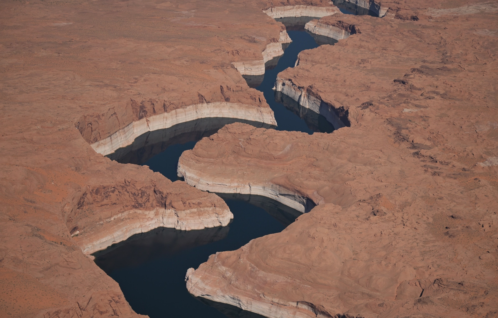
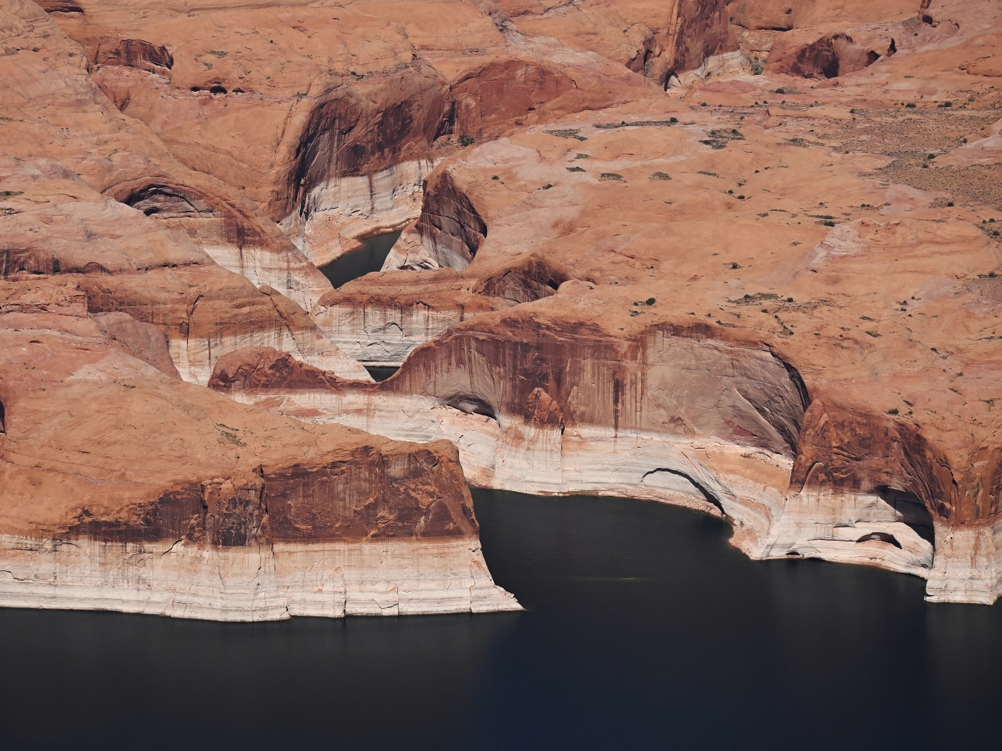
From the air, the effects of shrinking reservoirs become impossible to ignore. Along the shoreline, vast expanses of exposed rock and sediment reveal where water once stood. Boat ramps extended to accommodate lower water levels now end far from the lake’s edge.
Volunteer pilot Chuck Schroll made the mission possible, commuting from Tucson to meet Sangosti near Las Vegas before flying over both reservoirs. Throughout the flight, Schroll positioned the aircraft to give Sangosti the angles and lighting needed to capture compelling images.
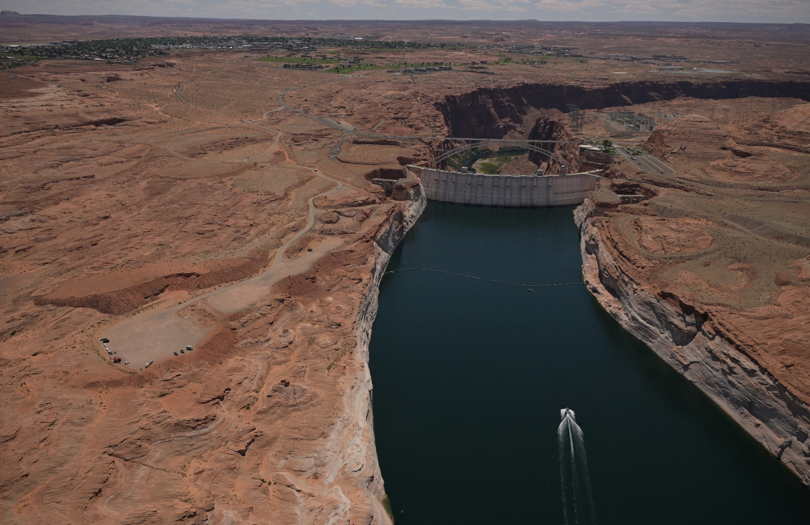
“I was able to produce a strong series of images of Glen Canyon Dam during this flight,” Sangosti said. “Pilot Chuck was able to circle the dam and position the plane perfectly so I could make graphic and visually interesting photographs. He also started the flight early in the morning, which gave me much better light throughout the trip.”
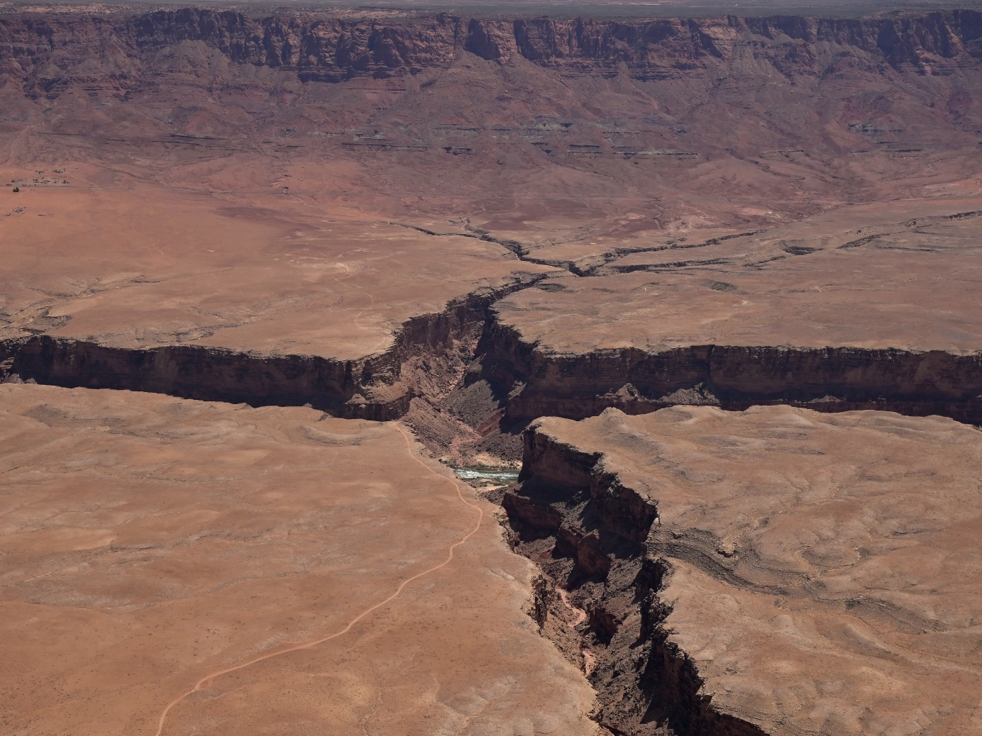
The results were immediate.
“Overall, it was a very successful flight, and I was able to get exactly what I needed,” Sangosti said. “I have already filed nearly 100 photos from the flight to The Denver Post and Getty Images.”
The imagery will help illustrate ongoing coverage of water issues throughout the Colorado River Basin and has the potential to reach audiences far beyond Colorado through national publications and wire services.
For LightHawk, flights like this demonstrate the power of aerial perspective in environmental storytelling. By helping journalists document landscapes at a scale that cannot be seen from the ground, LightHawk helps bring critical conservation issues into public view and supports informed conversations about the future of the Colorado River.
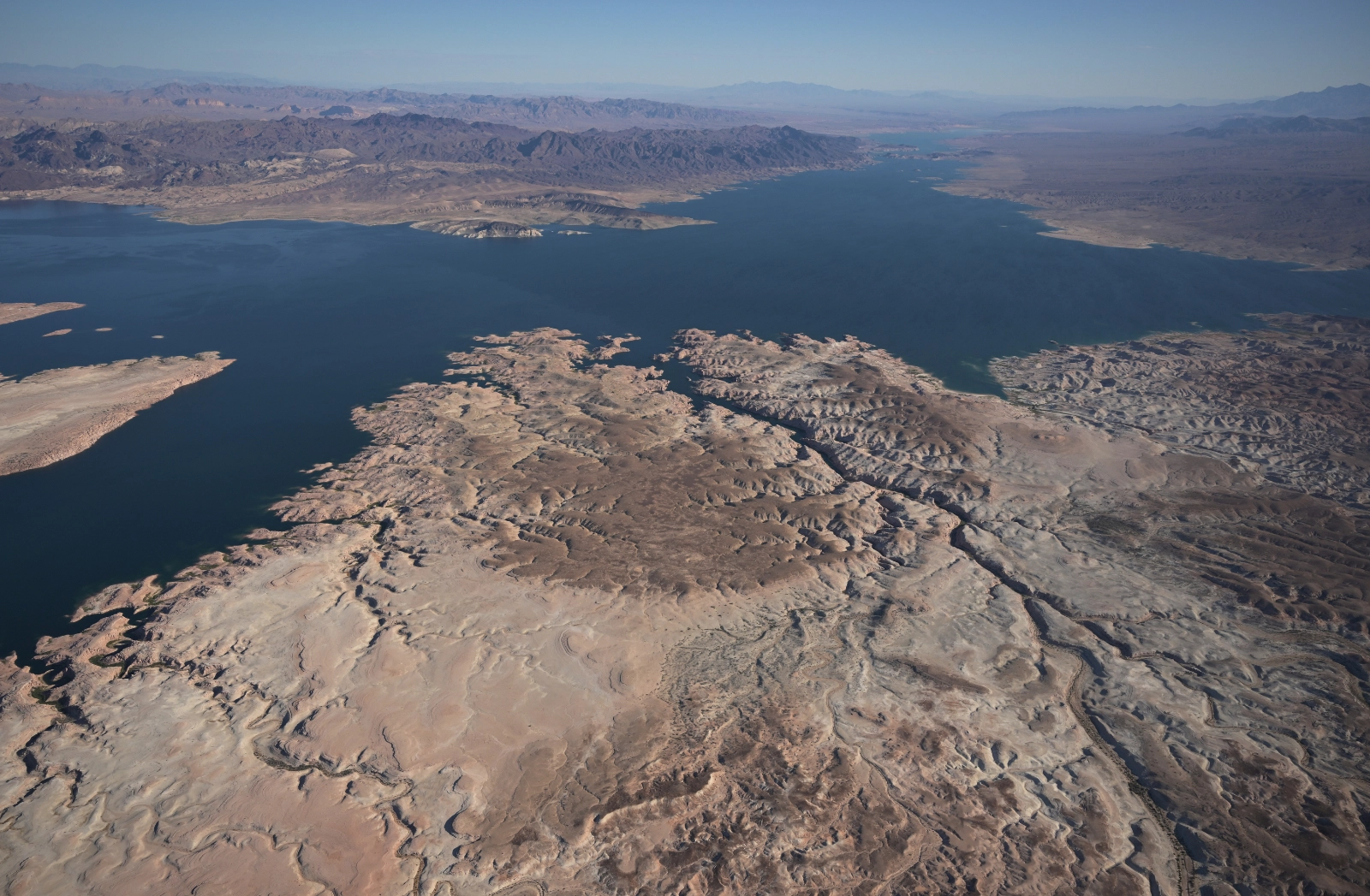
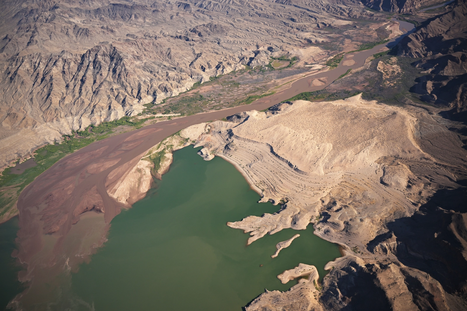
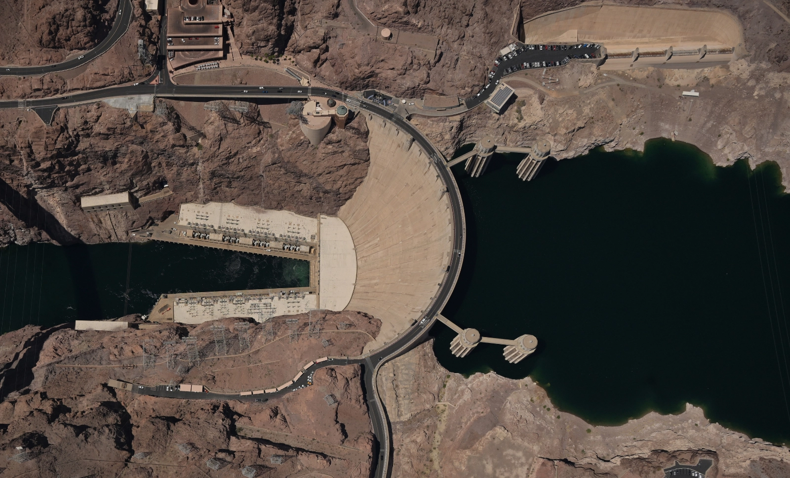
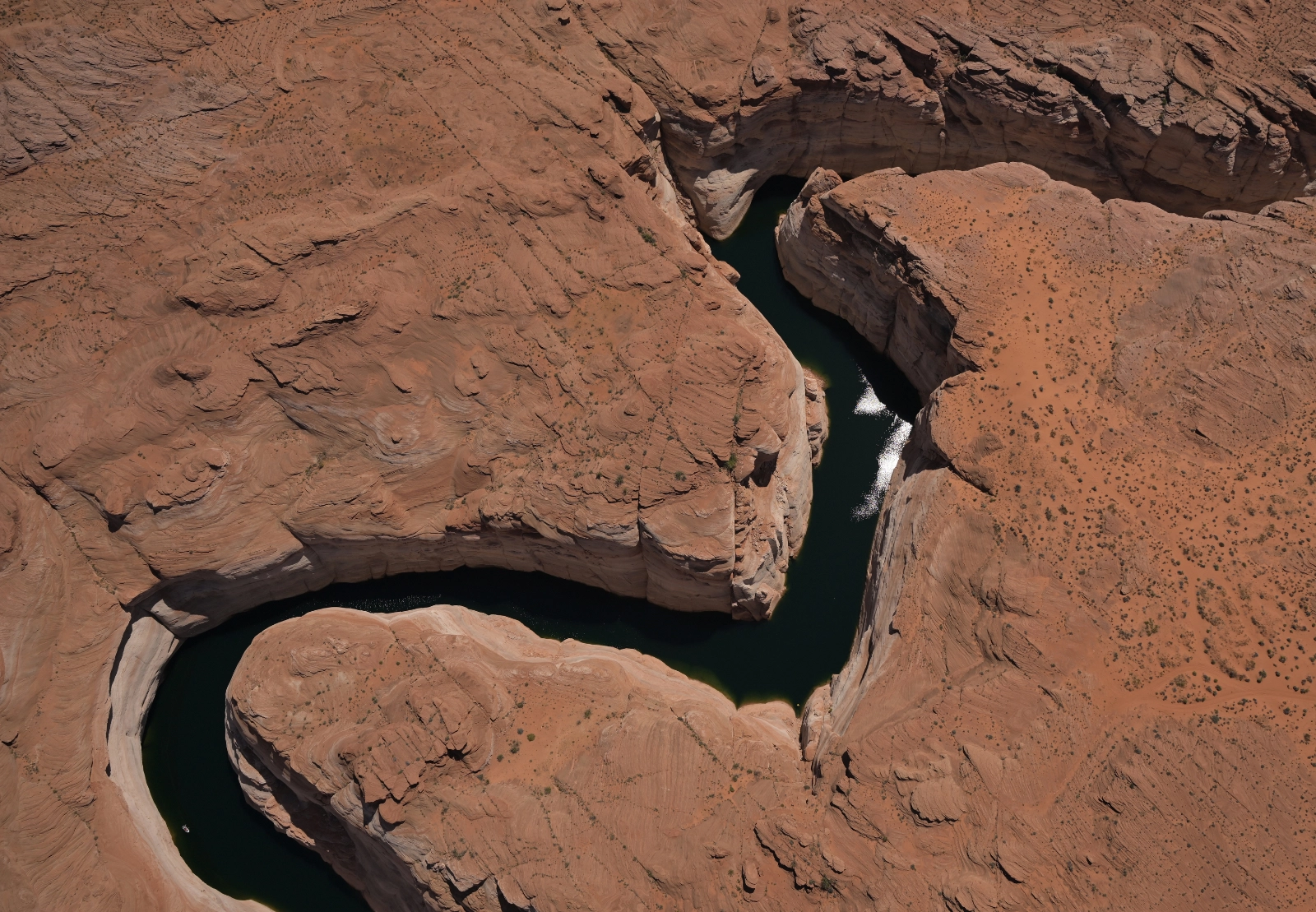
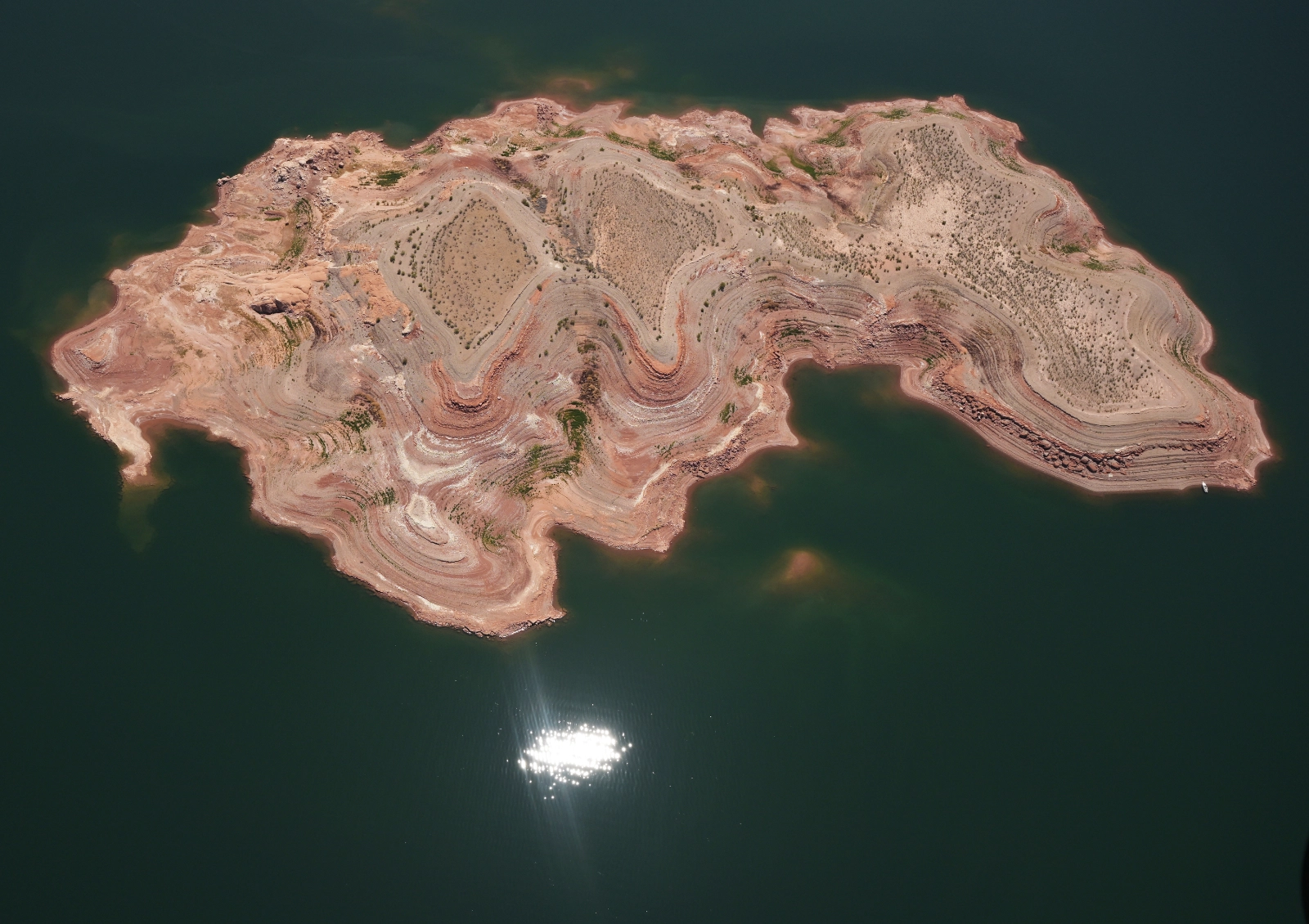
Photos: RJ Sangosti | Pilot: Chuck Schroll