Protecting Maine’s Landscapes and Waterways

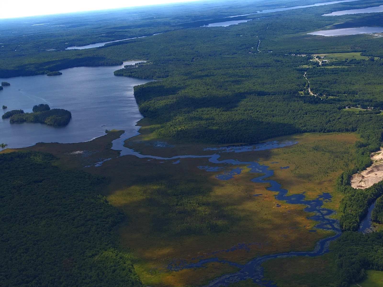
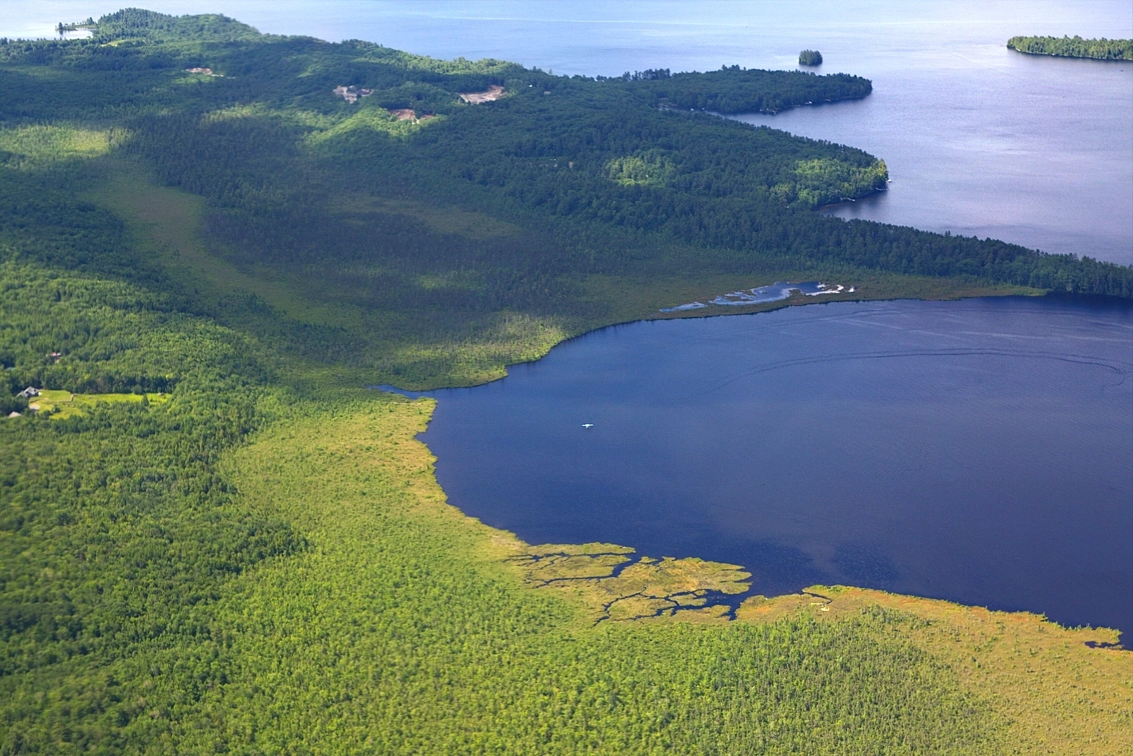
The Serpentine, a 2.5-mile waterway connects East Pond to North Pond in the Belgrade Lakes region of Maine. Photo: Jonathan Milne | Pilot: Scott Cianchette
There’s a narrow stretch of water in central Maine called the Serpentine that connects East and North Ponds. From the ground, it looks like nothing more than a channel. From the air, it’s something else: a route that wildlife uses to move between waters, and one that invasive species use too.
That’s the kind of detail you can only see from above — and it’s exactly why two Maine conservation groups turned to LightHawk. Taking off from Augusta State Airport, volunteer pilot Scott Cianchette and LightHawk staff member Jonathan Milne flew across central Maine’s Sebasticook River Watershed, collecting photos and video of the lands and waters below. Beyond the Serpentine, they flew over Great Meadow, Great Pond, and land within the greater watershed that could one day connect to existing conserved acreage — a missing link drawn into view from above.

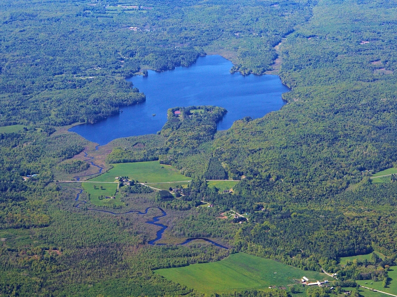
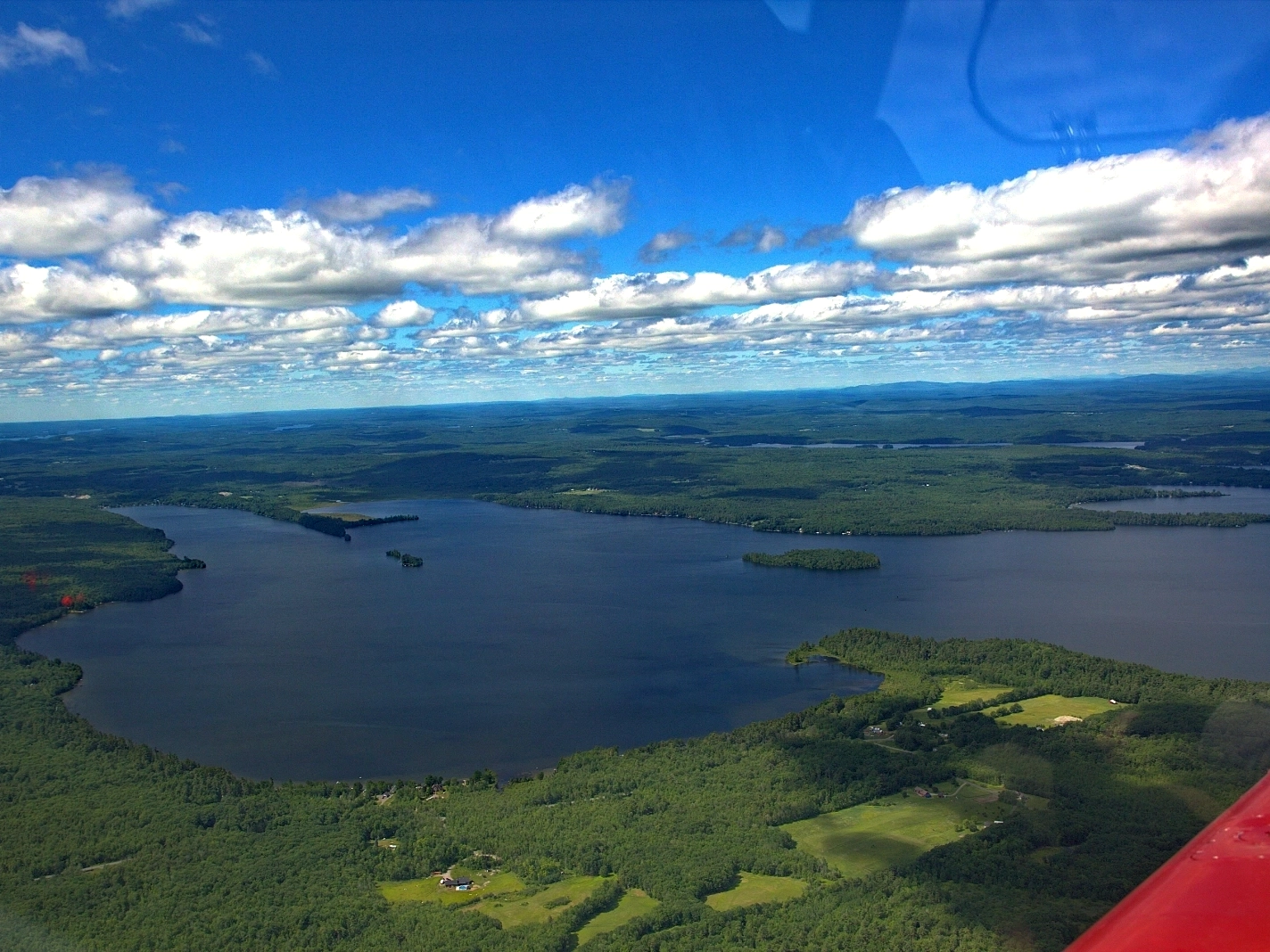
Flying over Great Pond in central Maine. Photo: Jonathan Milne | Pilot: Scott Cianchette

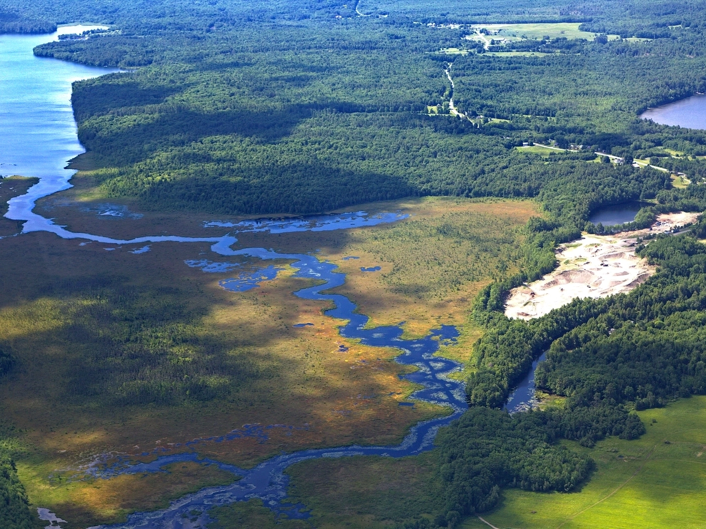
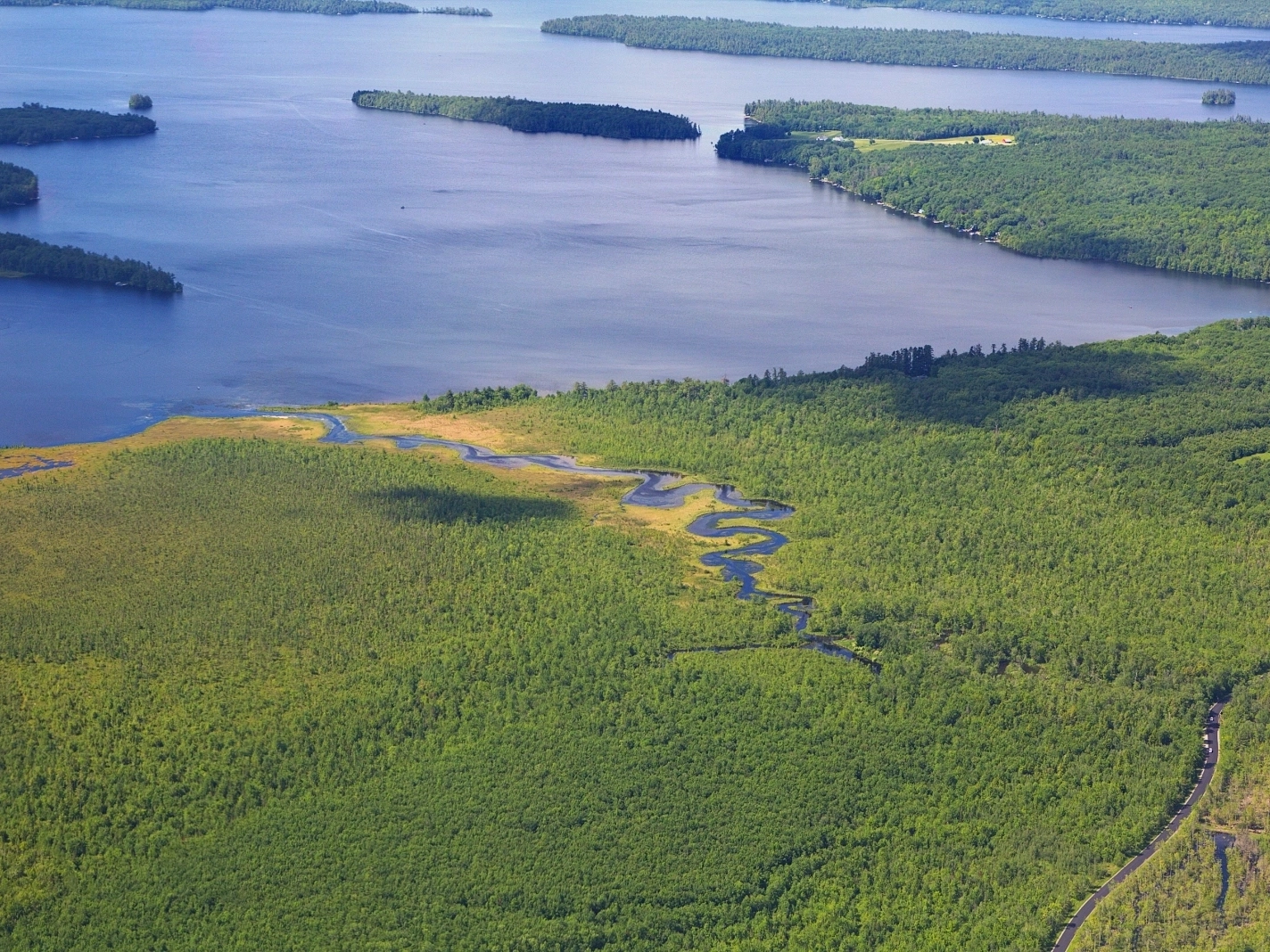
Great Meadow Stream flows into a larger body of water. Photo: Jonathan Milne | Pilot: Scott Cianchette
The flight combined requests from two partners working on neighboring landscapes: the Sebasticook Regional Land Trust, a membership-supported group working to conserve and restore the watershed and improve public access to it, and the 7 Lakes Alliance, which protects land and water within the Belgrade Lakes watershed to safeguard water quality, wildlife habitat, and outdoor recreation. Combining their missions into a single flight gave both organizations the imagery they needed to educate the public about protecting these landscapes and waterways.
That education matters because central Maine, though still heavily forested, is facing increasing rural development. New roads and subdivisions are fragmenting large contiguous habitats, disrupting migration corridors for moose, black bear, and other wildlife, and shrinking breeding habitat for forest birds. The slow loss of forest cover is also reducing the region’s resilience to climate stress. Central Maine has seen more heavy rain events and less steady snowpack in recent years, a shift that drives streambank erosion, sediment loading into rivers and lakes, and nutrient pollution in local waterways.

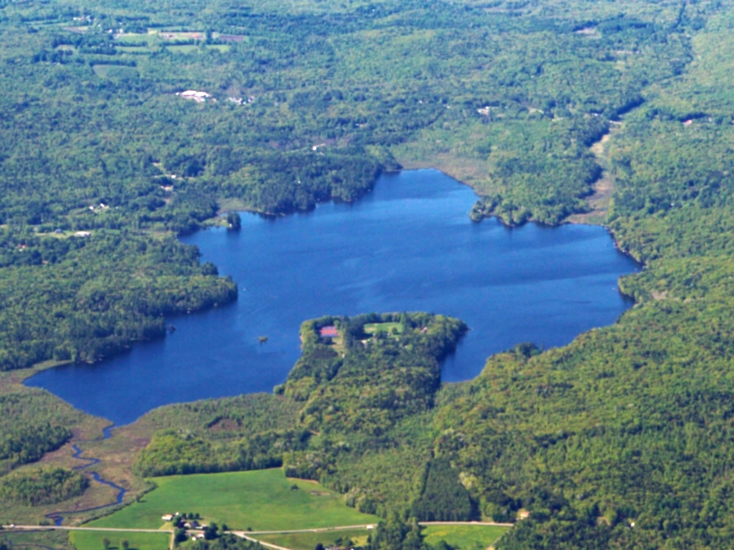
The flight flew over areas of wetlands that are prime spots for bird watchers. Photo: Jonathan Milne | Pilot: Scott Cianchette

The Moulton’s Mill Preserve is a forested land that provides outdoor recreation opportunities. Photo: Jonathan Milne | Pilot: Scott Cianchette
Telling that story to property owners, decision-makers, and the public takes both data and imagery, and the aerial perspective offers a sense of scale that’s nearly impossible to capture from the ground, especially for waterways that wind for miles through dense forest.
The footage and photos from this flight are now in the hands of both partners, giving them new tools to advocate for connected forests, healthy wetlands, and climate-adapted land management across the watershed. It’s a small example of what LightHawk makes possible: a single flight, two organizations, and a clearer view of what’s worth protecting before it’s gone.
Photos by Jonathan Milne.