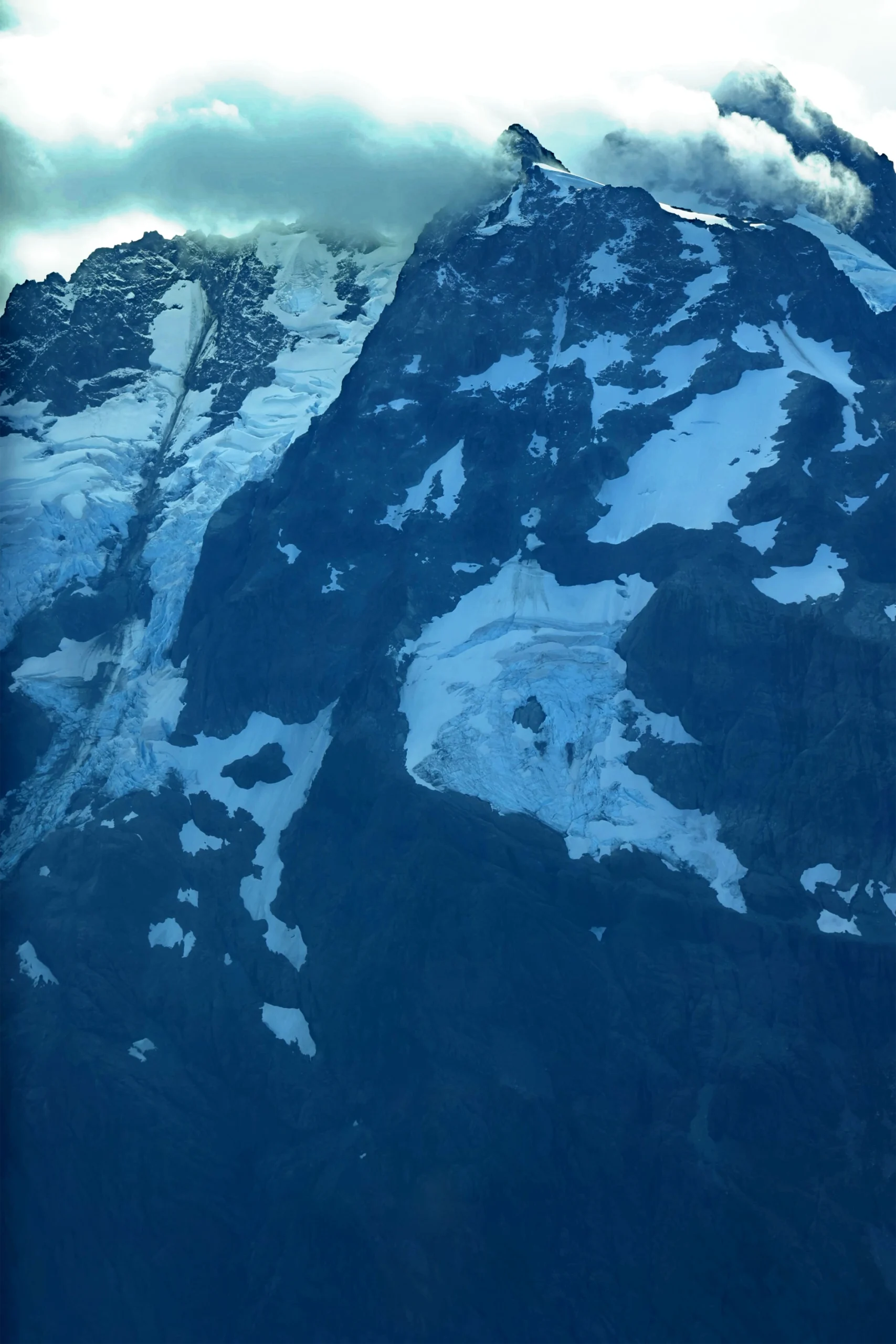
Understanding a river means looking beyond individual stretches of water. For William Henkel, a graduate student in Cultural Anthropology at Western Washington University, documenting the Nooksack River meant tracing the connections between its remote mountain headwaters, downstream communities and coastal delta.
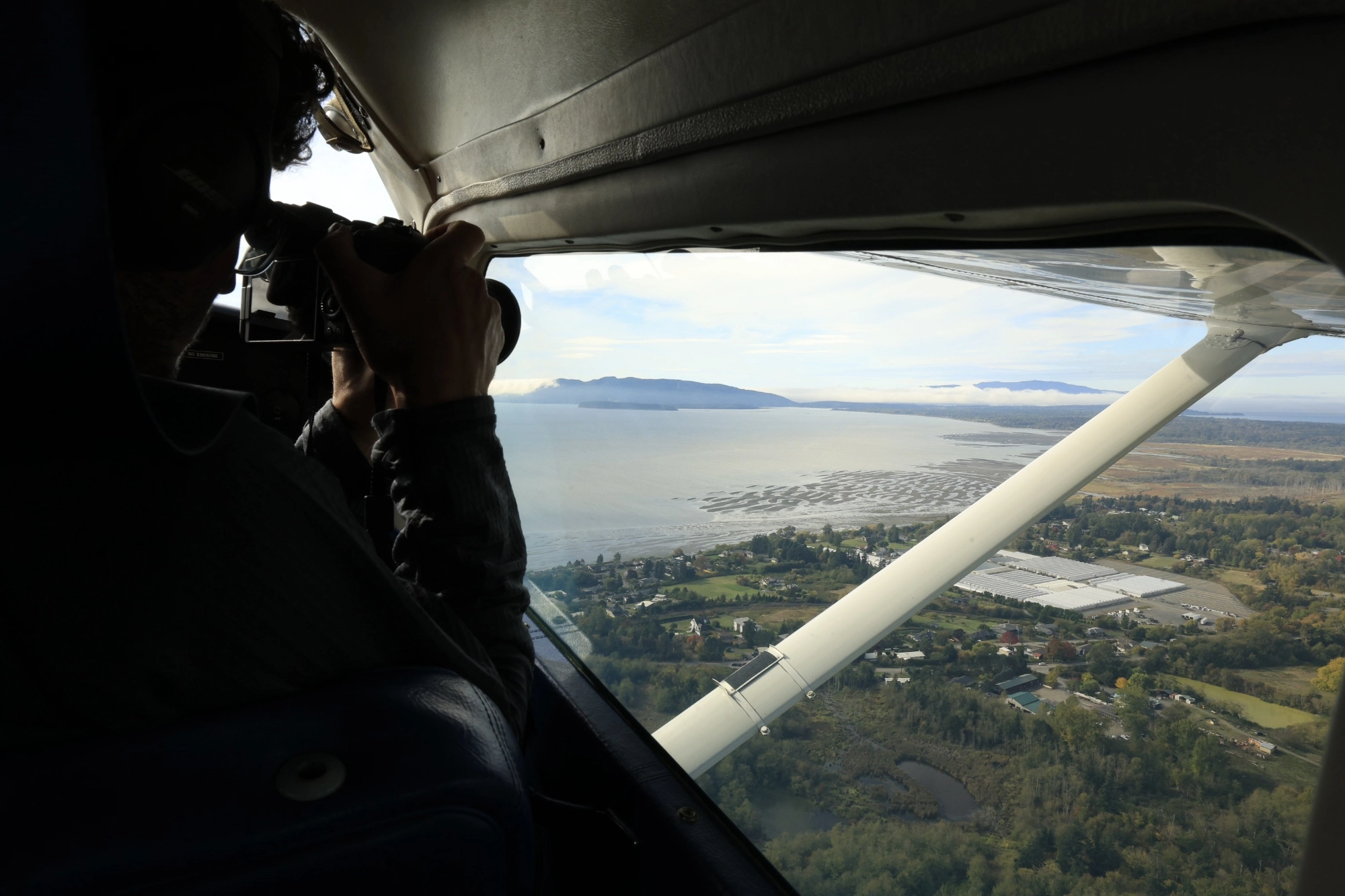
Henkel’s ethnographic research examines hydrological and social change along the 74-mile river in northwestern Washington. An aerial photographic survey would help him consider the river as a connected system and document places difficult to reach on the ground.
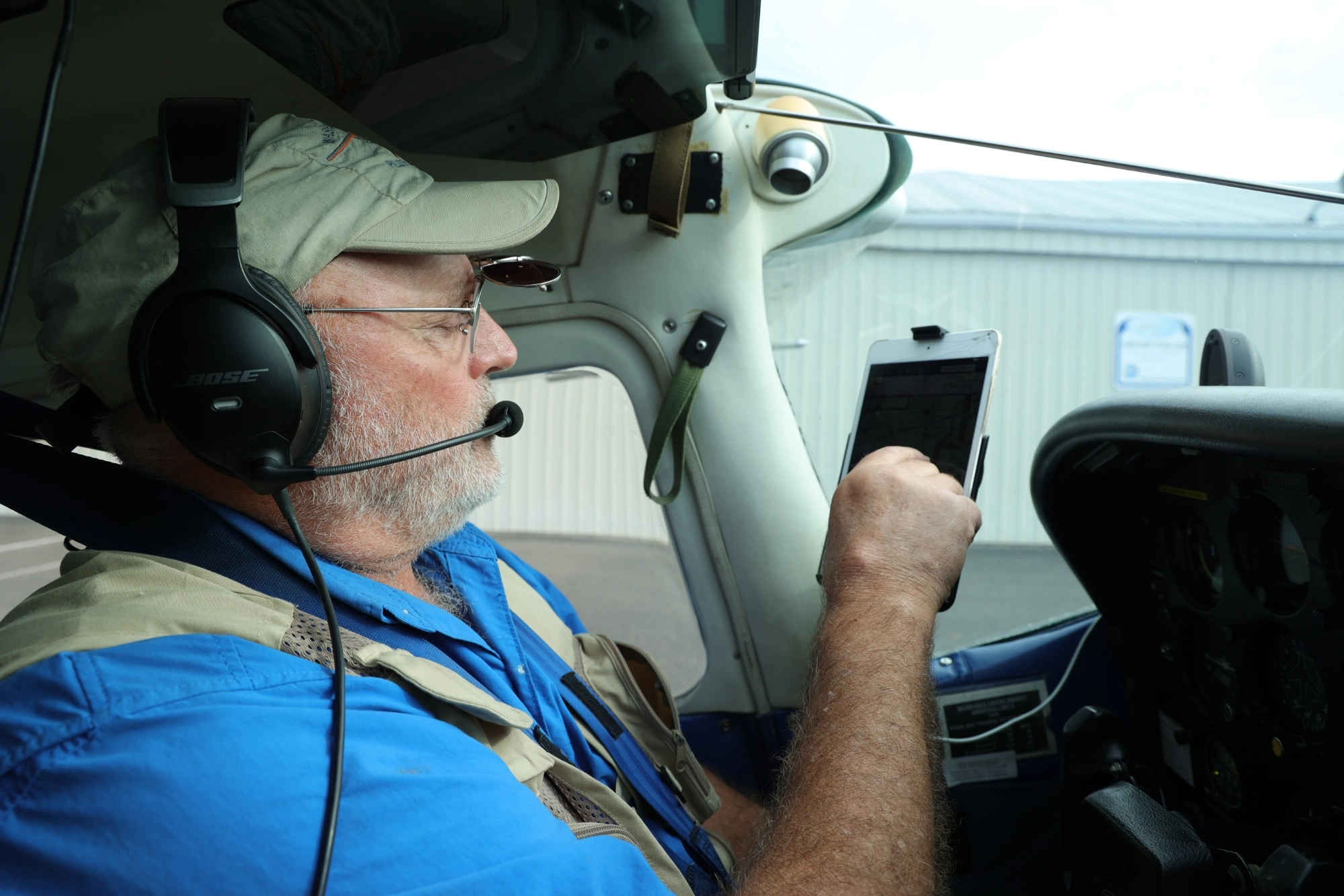
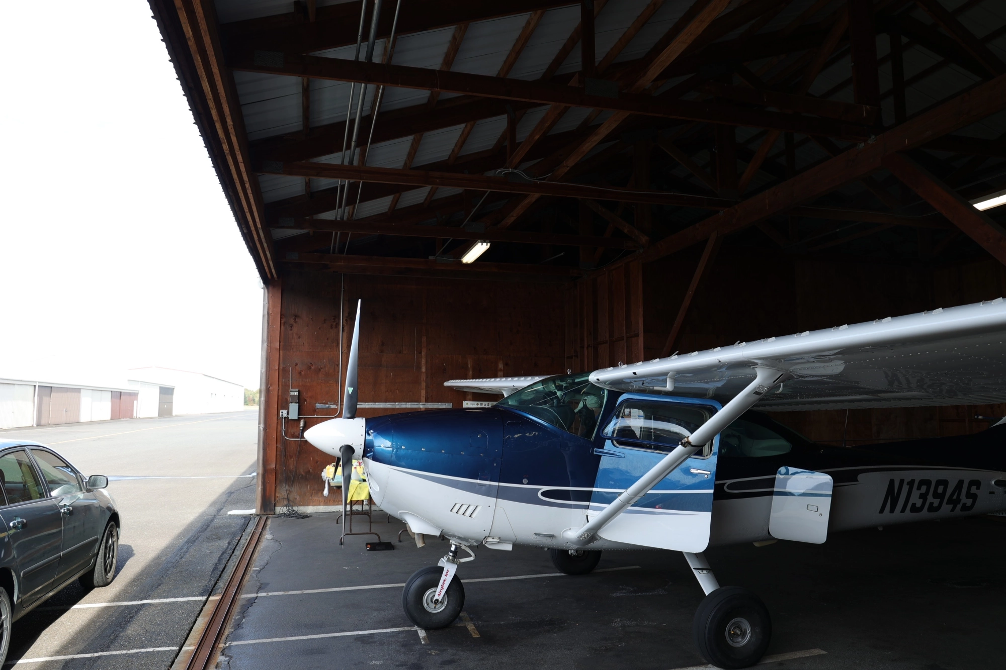
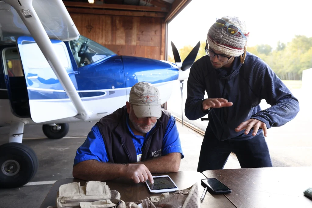
LightHawk worked with Henkel and a videographer to capture still images and video along the river’s main stem and three forks. Volunteer pilot Don Goodman provided the flight, making it possible to cover in hours terrain that would require extensive travel by road and foot.
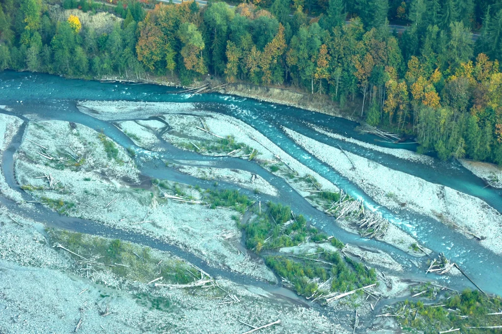
The survey followed the river through forests and settled areas into the rugged terrain
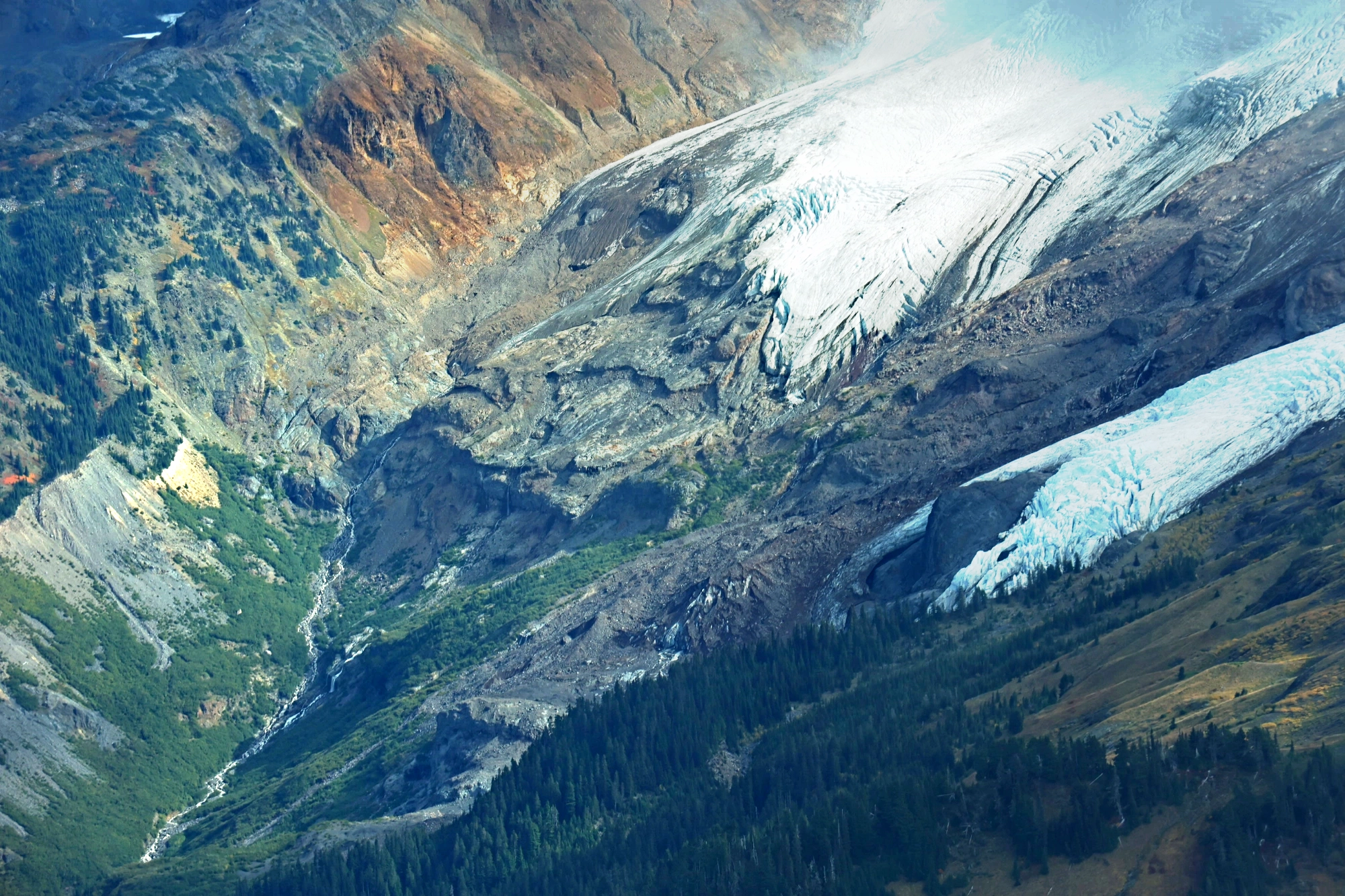
surrounding Mount Baker. Along the Middle Fork, the team photographed the Deming Glacier.
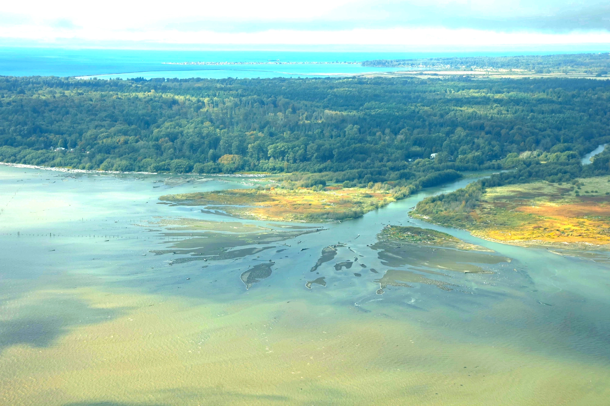
On the North Fork, they reached the Nooksack Cirque before returning downstream and following the river to its delta at Bellingham Bay. Flying each fork in both directions gave Henkel and the videographer opportunities to document both sides of the waterway.
Seeing these reaches in one flight offered more than geographic coverage. It gave Henkel a broader frame for understanding how changes in one part of the watershed relate to conditions and communities elsewhere.
“Having an aerial perspective of the whole river system, created a new way of thinking for me about the interconnections of the river with communities and within the broader ecosystem,” Henkel said.
The photographs and video provide a visual record for his research, bringing remote headwaters and more accessible downstream reaches into the same body of documentation. Henkel also plans to make edited images available to local conservation groups to inform their understanding of the watershed and their advocacy.