Following the Nooksack River through rugged mountain terrain takes an experienced pilot familiar with the area. Bellingham, Washington–based LightHawk volunteer pilot Don Goodman brought that experience and local knowledge to an October flight with students from Western Washington University.
The students are examining hydrological and social change across the 74-mile Nooksack River watershed in Whatcom County, Washington. Their goal was to photograph the river from its mountain headwaters to the sea, documenting connections across a system often experienced one stretch at a time.
The Nooksack’s three forks—North, Middle and South—flow through rugged mountain valleys before joining and continuing to the coast. Don’s knowledge of those drainages made him a natural fit for the mission.
“I thought, I should probably fly this mission. I know the terrain really well. Before I picked up flying, I did a lot of mountaineering. All of those drainages are familiar to me from a backcountry, alpine climbing perspective,” he shared.
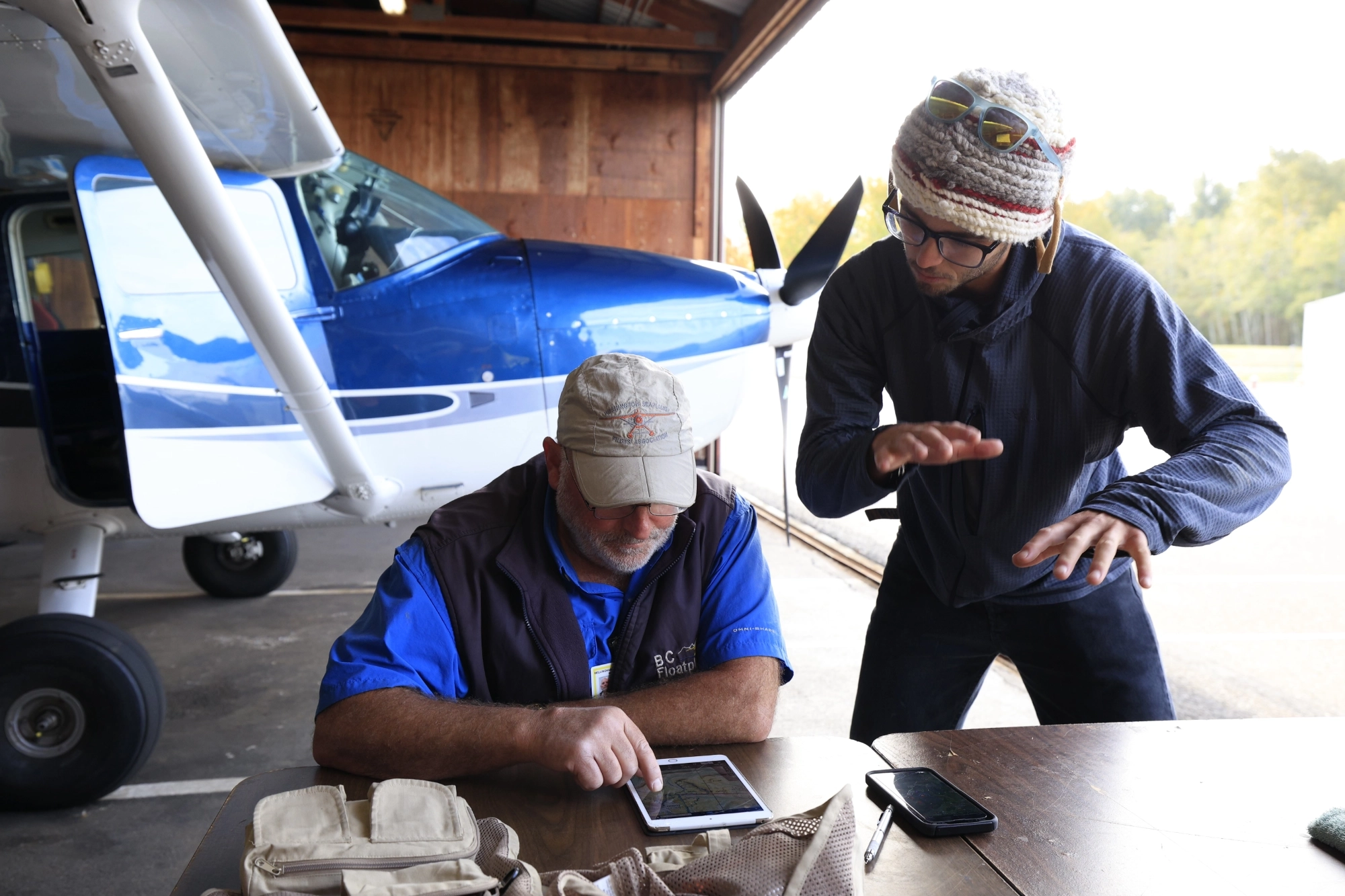
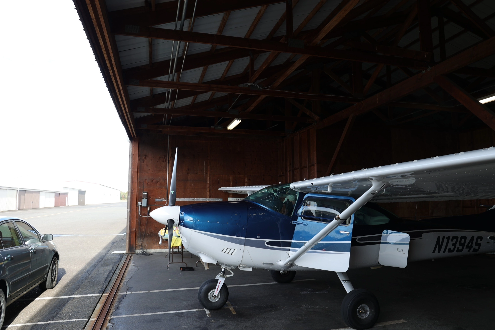
Don flew his Cessna 182, which had recently transitioned from floats to wheels for fall and winter. Before departure, he worked with the students to review the route and plan aircraft positioning around their photography needs.
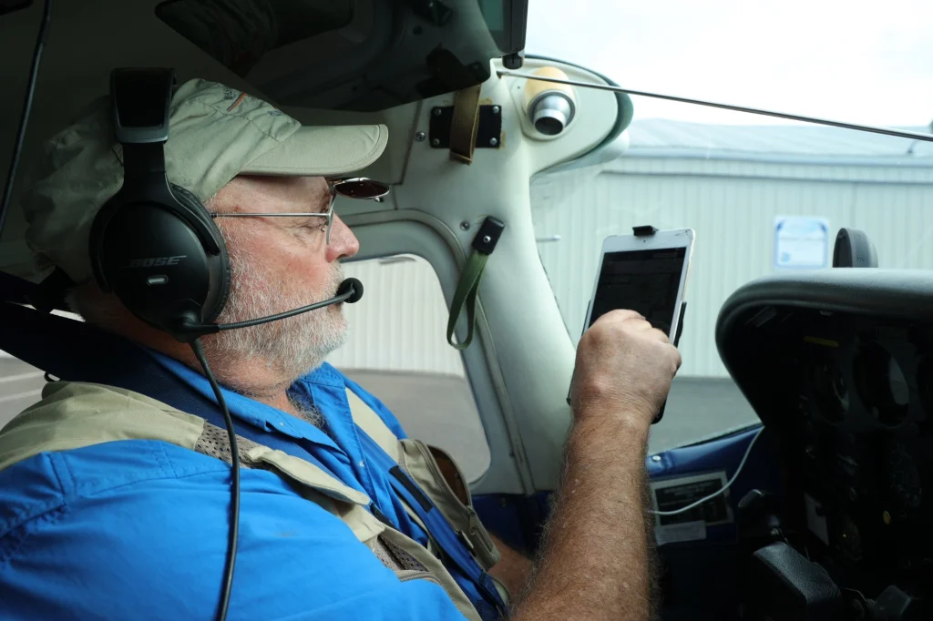
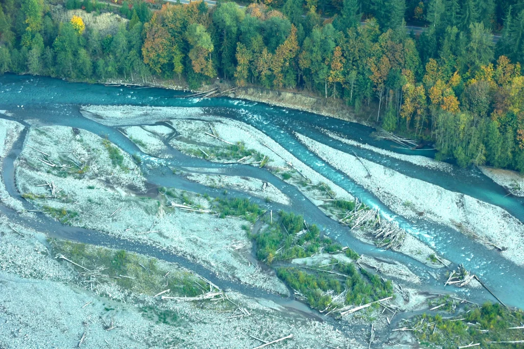
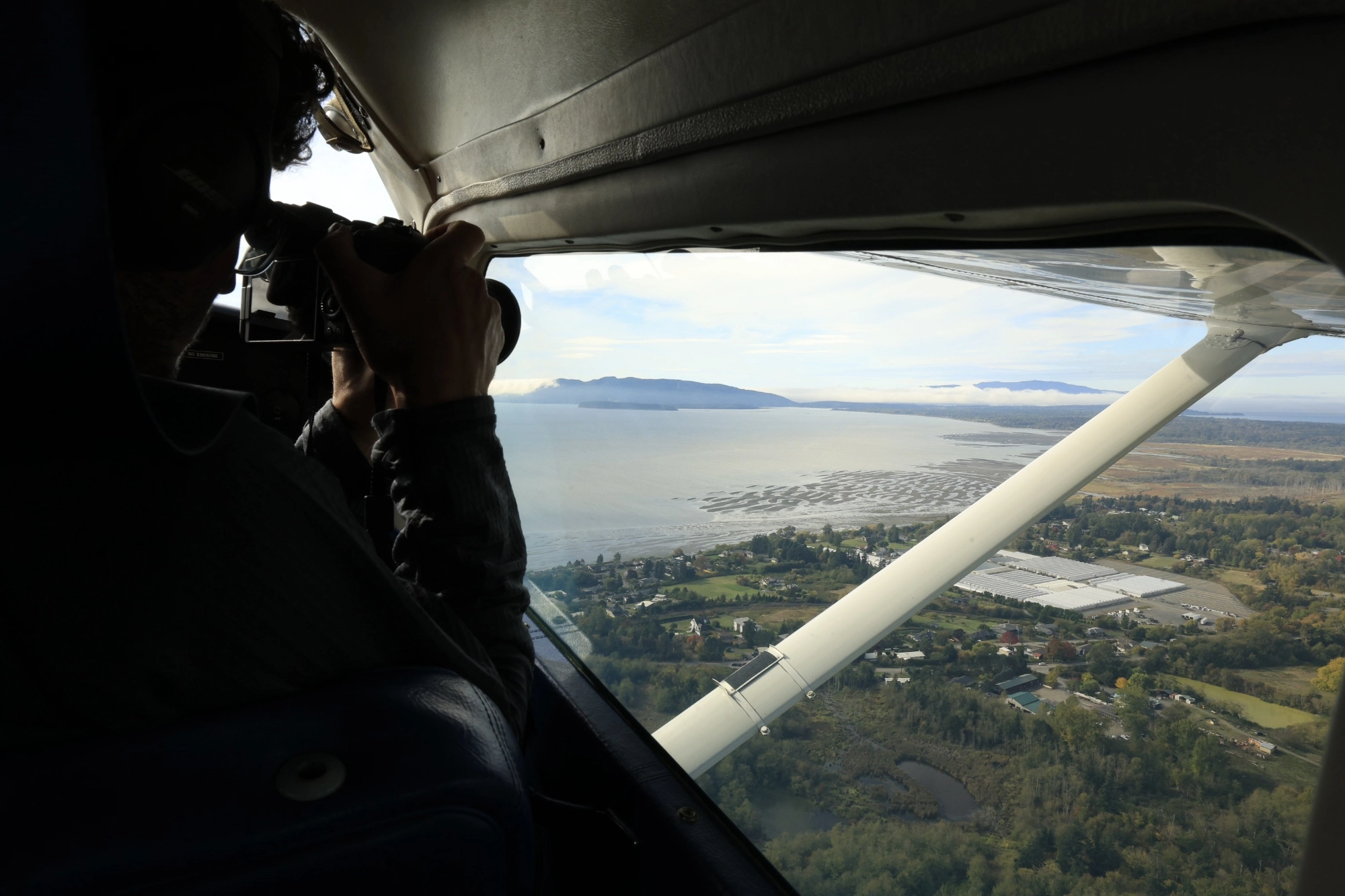
“They were on the copilot side of the airplane, so all my positioning was to benefit the right side. We’d fly up one side of those valleys and back down the other side. They’re always looking at the river, the drainages, and the sources of the drainages that way.”
Following the Forks
Pacific Northwest weather can complicate an October mission, particularly one requiring travel through several mountain drainages. On this day, conditions allowed the flight to proceed.
“It was good, and it needed to be. I was worried about that,” Don said. “We started a little later than would be ideal for light, but I think we were off by 11 a.m. or so. The main concern up there would be the wind, and there was wind out of the south, but it was moderate. When we were down in the valleys, it was pretty stable.”
They encountered some turbulence crossing ridgelines, but the flight within the valleys was relatively smooth.
Departing Bellingham, Don picked up the main river about five miles downstream of where the forks join near Deming, then followed the South Fork to its headwaters and back.
“Then we climbed to about 3,000. There’s a low rise just west of the Twin Sisters, kind of a lower divide between the forks, that gets you to the Middle Fork,” he explained.
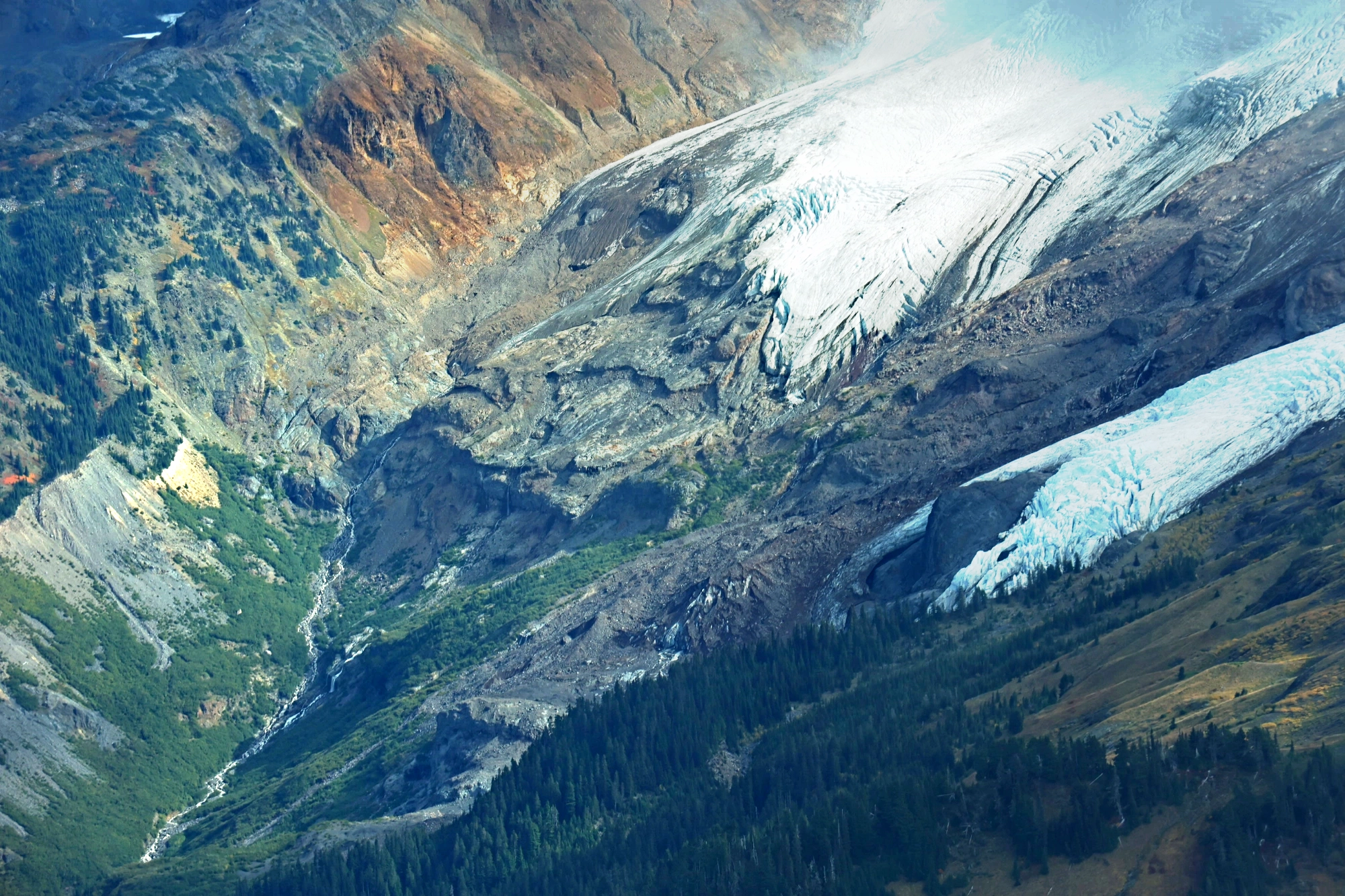
They descended into the Middle Fork drainage and followed the river downstream before turning back upstream toward its primary source, the Deming Glacier on the west side of Mount Baker.
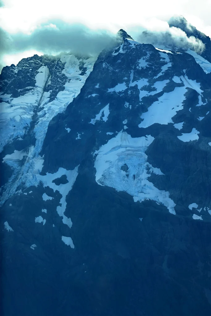
From there, they flew in for a closer view of the glacier. “We climbed up to probably about 5,000, came around, and could look right into the Deming Glacier and see how much it’s receded over the last 50 years. We flew around that, followed the drainage back down so they could get the perspective from the other side.”
Returning toward the junction of the Middle and South Forks, Don climbed to cross into the North Fork drainage south of the Mount Baker ski area.
“Then I dropped into the upper North Fork, probably a little farther up from Maple Falls. We stayed a little higher there, then went into the Nooksack Cirque. That’s the headwaters of the North Fork of the Nooksack, a lot of glacial runoff off the north side of Shuksan.”
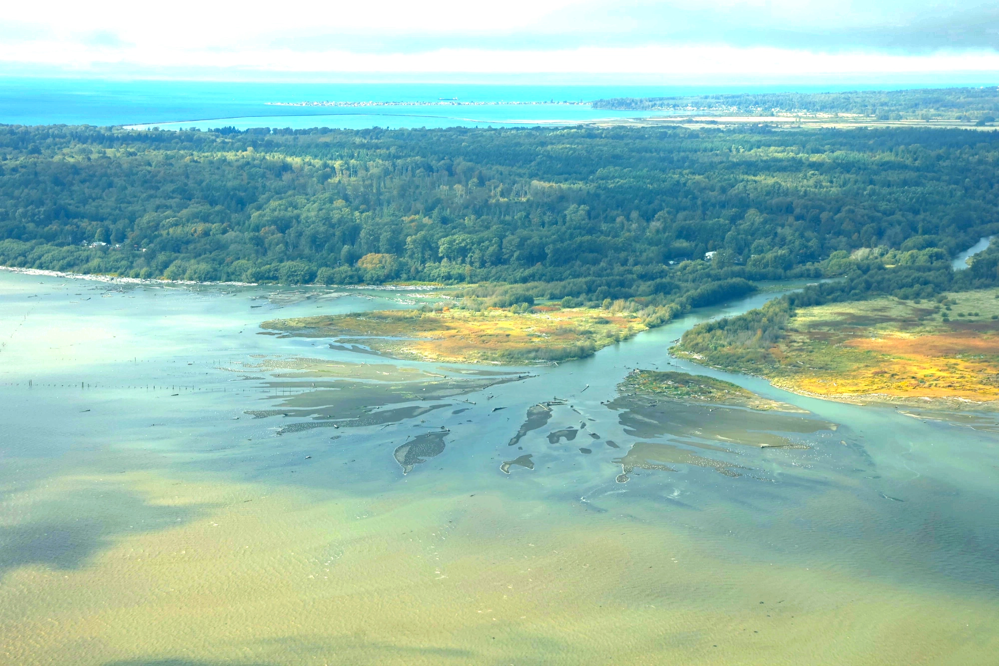
They followed the North Fork downstream to its junction with the other forks, then continued along the main Nooksack toward the coast.
“I talked to Bellingham Tower and got clearance to fly into their airspace and follow the river down to the delta. We did an orbit at the delta, came back up the river to about Lynden, just south of Lynden, and broke it off and came back.”
Matching the Flight to the Mission
Collecting imagery along the river required deliberate positioning and attention to the terrain. Don estimated that portions of the flight were about 1,000 feet above ground level, following the contours of the landscape.
“Going up the South Fork, it curves around. Say I’m going up the true right bank of the stream. That means I need to hug the terrain pretty close on the left side of the airplane. Not every pilot might feel comfortable doing that, but floatplane flying is terrain flying, so I have a fair amount of terrain-flying experience. That’s what this mission really required. You’ve got to feel comfortable and safe flying in terrain.”
He noted that the broad, glacier-carved basins provided room to maneuver and turn around when necessary.
His aircraft was also well suited to photography. Wing modifications allow Don’s Cessna 182 to fly more slowly than a standard 182. He estimated flying portions of the mission at about 70 knots with flaps extended, a configuration he described as “mountain flying speed.” Having completed mountain flying courses, Don was familiar with the airplane’s handling in that configuration. “It’s a pretty stable platform at that and still has a lot of margin,” he said.
Throughout the flight, he also checked on his passengers. When the cinematographer in the back seat grew quiet, Don wanted to make sure he was feeling well. The passenger assured him he was simply absorbed in the scenery and his photography.
Don particularly enjoyed comparing notes with graduate student William Henkel, who knew many of the same drainages from exploring them on the ground.
“I could tell he knew exactly where we were. He’d say, ‘Oh, there’s a waterfall over here, and I biked up in here,’ in the South Fork…”
For Don, that shared familiarity prompted an interest in continuing the conversation after the flight.
“People just don’t go up there. I’d like to pick his brain a little more about how to get in there.”
Seeing a Connected River System
For Henkel, LightHawk made a photographic aerial survey of the Nooksack River watershed possible that his research funding could not otherwise accommodate. Seeing the full river system also brought a new dimension to his graduate research.
“Having an aerial perspective of the whole river system created a new way of thinking for me about the interconnections of the river with communities and within the broader ecosystem.”
He credited Don’s preparation and local knowledge with helping accomplish the mission.
“Don did a great job of working with me to accommodate the desired flight path, while using his knowledge of the area to adapt to weather and altitude variability.”
The imagery will provide a baseline for Henkel’s source-to-sea documentation of the Nooksack. He plans to return to selected sites to document seasonal changes within the river system. Once edited, the photographs will be available to local organizations for reference and outreach to support watershed advocacy.
“This was a good flight,” Don said. “I really enjoyed it.”
Don’s piloting skills, knowledge of the terrain and generosity made this survey possible, helping the students document a river system of ecological and cultural significance in his home community.