ON THE WING
FALL 2025

Jim Becker
LightHawk CEO
FROM THE CEO
Protecting Waterways With the Aerial Perspective
Fresh water. Most of the time, we take it for granted. We turn on the tap, and what is really a precious resource just flows out. We shower, wash the dishes, and water the lawn without thinking much about the shrinking availability of this life-sustaining liquid. But that is changing rapidly, and LightHawk is deeply involved in helping to understand the severity of the problem and possible solutions.
This edition of On the Wing features LightHawk’s work on three major rivers—the Colorado, the Pecos, and the Snake. These rivers are thousands of miles long, and only from the air can one truly understand the issues besetting each watershed. That’s where LightHawk excels; flying congressmen, journalists, photographers, conservationists, scientists, and tribal leaders at 2,000 to 4,000 feet over the length of the waterway. The knowledge, understanding, images, and publications that result from LightHawk flights lead to greater public awareness and help motivate the decisions that lead to wise use of water and river habitat—which is the conservation impact we all desire and are working toward.
Every time you fill a glass of water, you can thank the LightHawk volunteer pilots, partners and supporters who work to help conserve this precious resource for all of us and future generations.
SUPPORT LIGHTHAWK
2 Days. One Mission.
Give Flight to Conservation.
This December, you have two special opportunities to power conservation from the air and amplify your impact.
When you give to LightHawk during Giving Tuesday and Colorado Gives Day, your gift goes farther. Thanks to a generous match from loyal LightHawk supporters, every gift will go twice as far.
This year, LightHawk aims to raise $75,000 to keep conservation flying!
You make flights possible that reveal what cannot be seen from the ground.
Your gift turns understanding into action.

December 2
December 9 (But early giving is open NOW)
FEATURED MISSION
Featured Mission Headline

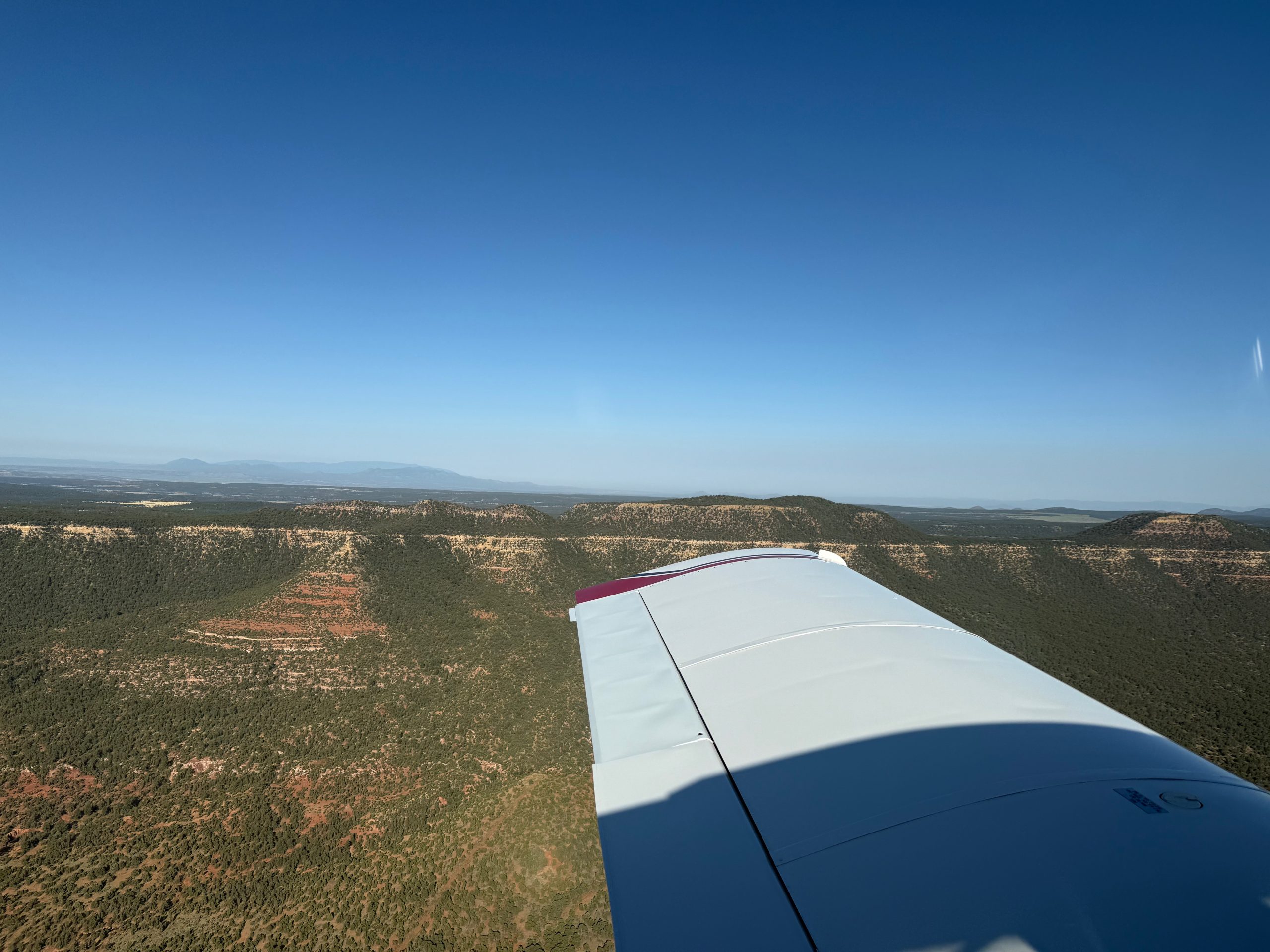
Flying over Lake Powell, one of the main reservoirs along the Colorado River for holding water millions depend on in the western United States. Photo by Dave Papineau.
Each year, more water is taken from the Colorado River than flows into it from its headwaters. Reservoirs meant to serve as water reserves now resemble drained savings accounts. Climate driven drought and outdated water rules have pushed the river past what it can sustain. Without change, the river can no longer support the communities, habitats, and economies that depend on it.
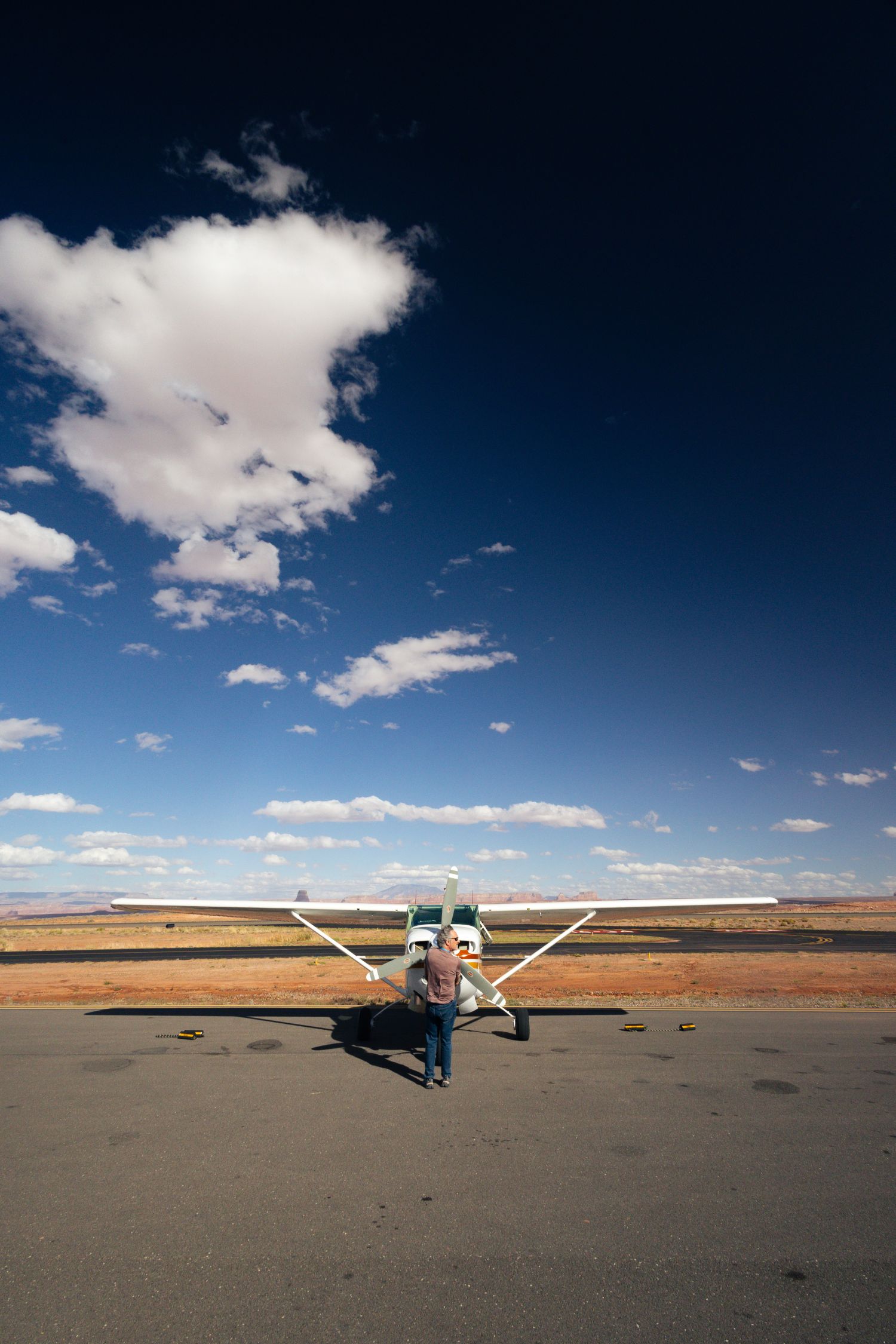
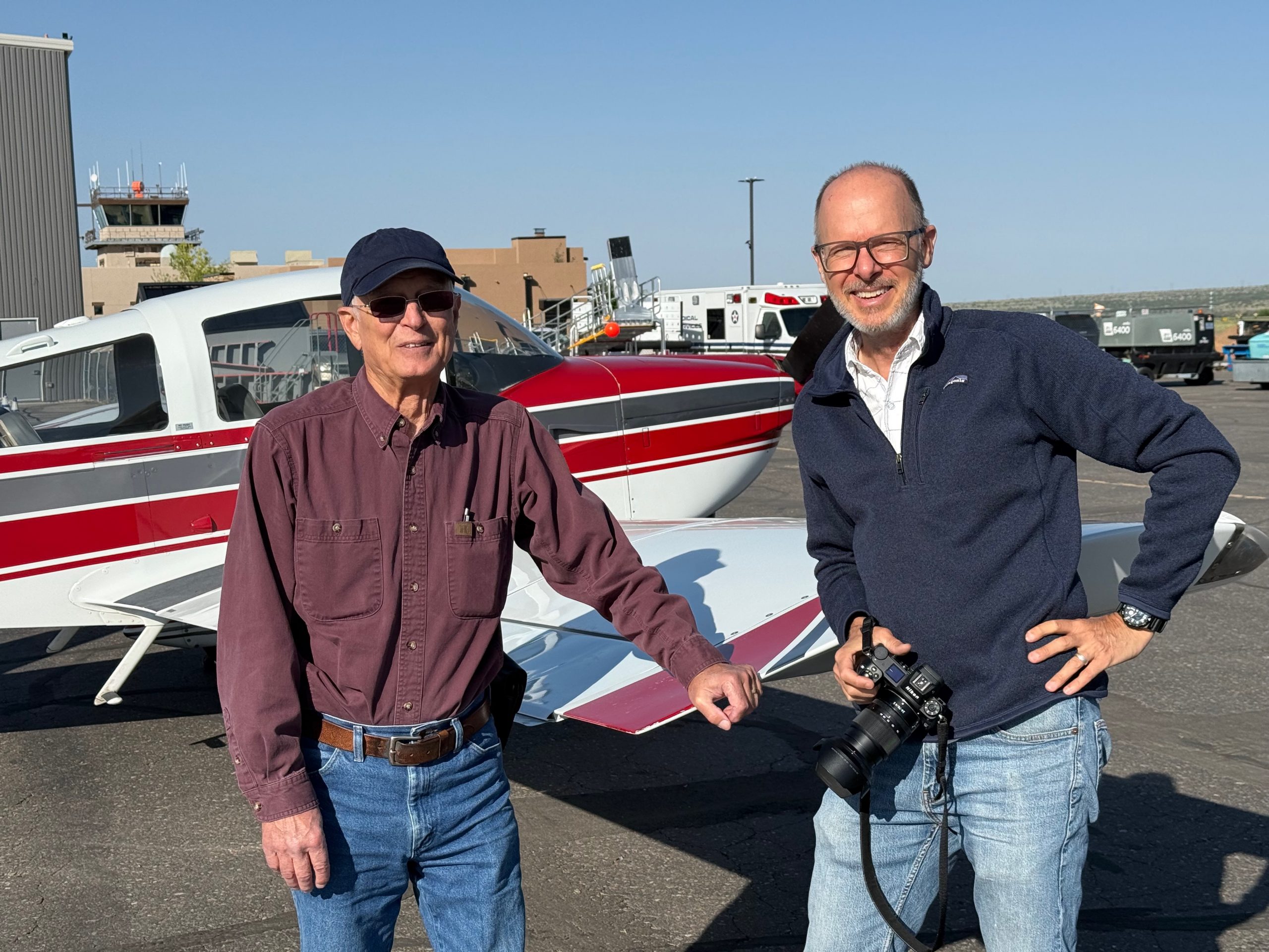
In October, LightHawk partnered with Western Resource Advocates on a mission to collect something they could not get from the ground. They needed continuous, current footage of key stretches of the river exactly as it is today to show decision makers what is at stake. Volunteer pilot Steve Meyer answered that call.
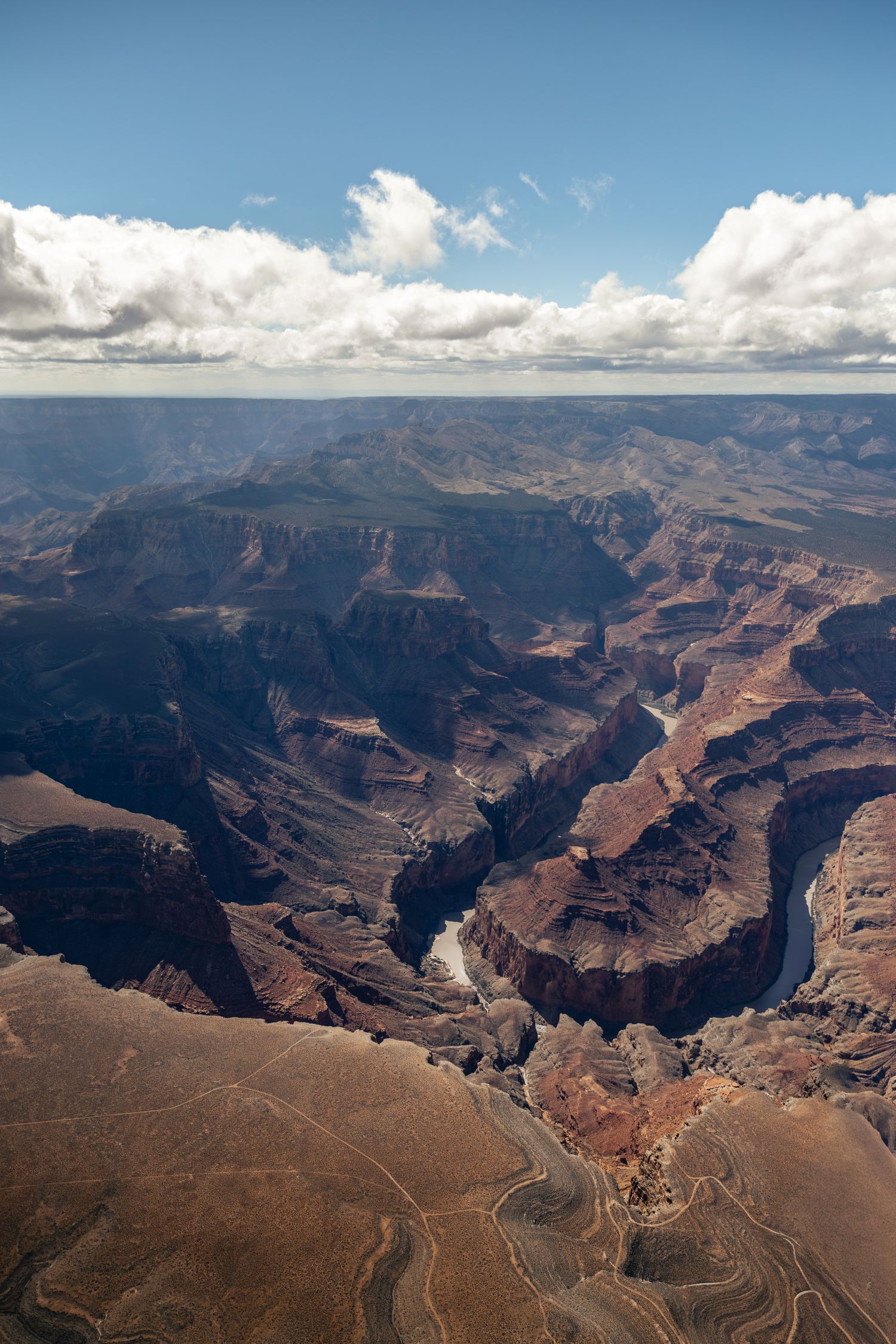
Over the course of two days, Steve flew more than seven hundred miles, tracing the river from the Green River below Flaming Gorge Reservoir, through the confluence where the Green meets the Colorado in Cataract Canyon, and along the Grand Canyon from Lake Powell to Lake Mead. Videographer Dave Papineau filmed every mile from Steve’s aircraft.

Communities along the Colorado River depend on it for fresh water. Photo by Dave Papineau.

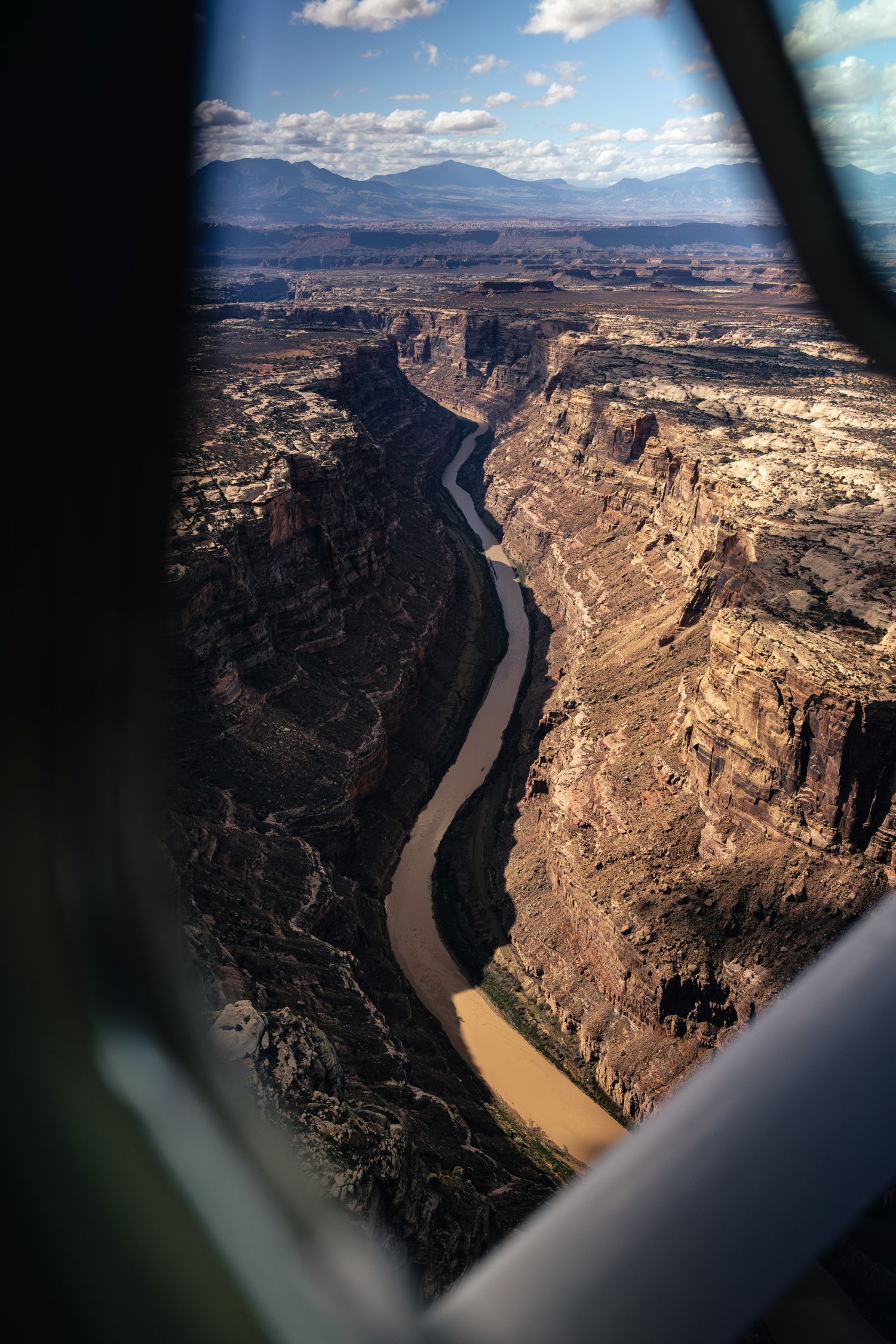
Looking out the plane window at the aerial perspective above the Colorado River. Photo by Dave Papineau.
The flights gave Western Resource Advocates and partners a complete view of the river in motion. Instead of piecing together snapshots from roads or maps, they were able to see how stretches of water, habitat, development, and diversion connect as one system.
LightHawk provided access, the aircraft, and the expertise to capture a basin level perspective that is impossible to grasp from the ground.
Western Resource Advocates will use the imagery to support policy work with basin states, helping leaders understand why a long-term management approach is needed. In collaboration with other environmental nonprofits, they have laid out a basin-wide plan to save water, respond to changing river conditions, protect fish and wildlife habitat, and incorporate environmental stewardship into management of the river.
By providing a powerful visual record that can influence policy discussions shaping the future of the Colorado River, LightHawk gives partners the ability to show what words alone cannot and move solutions into view.
Photos by Dave Papineau.
CLIMATE CORNER
Documenting Threats to New Mexico’s Pecos River

The Pecos River in New Mexico is one of the most endangered in the country today. It is threatened by climate-induced aridification as well as the ongoing oil boom in the Permian Basin. From the headwaters in the Sangre de Cristo Mountains of northern New Mexico, the Pecos winds its way southward through arid landscapes before joining the Rio Grande.
The river itself is a year-round source of freshwater in a region with few water sources. It supports native plants, migratory birds and waterborne species like catfish, bass and sunfish. It’s also home to the Longnose Gar – a species often referred to as a “living fossil” with ancestors dating back over 100 million years.
LightHawk partnered with Capital and Main, an award-winning publication that reports on economic, environmental, and social issues, to capture aerial photos and video for an upcoming story on the plight of the Pecos River. Volunteer pilot Barry Harper flew the journalists from Santa Fe along the Pecos, revealing the greener upper reaches near its headwaters before following the river as it wound from the mountains into the flatter, straighter stretches of New Mexico’s eastern grasslands. From the air, the lack of snow was unmistakable. Even during what should have been peak winter accumulation, the mountains showed little snow, evidence of the driest winter on record last year.
Seeing the landscape from above shifted the perspective. Karen Coates, a journalist on the flight, said, “I have lived in New Mexico for a long time, and this is the first time I have had the opportunity to see this landscape from above. I have still not fully processed everything I saw. Seeing new perspectives like this is how, as a journalist, I find new stories and new ways to tell them.”
Photos by Karen Coates.
Aviation reveals context and gives storytellers the ability to understand not only what is happening, but how one change affects the next. The view from above allows journalists and the public to see the full picture of the Pecos River, one of New Mexico’s most valuable natural resources.
PARTNER SPOTLIGHT
Flying the Nez Perce Tribe over the Snake River
The Nez Perce Tribe, known as the Nimiipuu, has been connected to the lands and waters of what is now Idaho, Washington, Oregon, and Montana long before the creation of the reservation. Today, the federally recognized tribe includes more than 3,500 enrolled citizens, and the reservation spans roughly 770,000 acres. The Nimiipuu continue to uphold traditional lifeways, including fishing, hunting, gathering, and cultural ceremonies that honor their relationship with the land.
One of the tribe’s long-standing commitments is the protection and recovery of salmon. Salmon are central to Nez Perce culture, treaty rights, and the health of the Snake River Basin in the Pacific Northwest. The tribe advances research, restoration, and policy advocacy aimed at opening historic salmon pathways and restoring access to the habitat salmon need to survive.
By partnering with the Nez Perce Tribe, LightHawk brings the aerial perspective that accelerates this work. From the air, tribal leaders, partners, and supporters can see the Snake River and its tributaries in a single view. A recent flight, made possible by volunteer pilot Judith Parrish, carried tribal representatives and donors from the Satterberg Foundation over stretches where salmon migration is blocked and over intact tributaries that show what successful recovery could look like. Seeing the landscape from above creates a deeper understanding of the river and the forces shaping salmon recovery.
Flights like this deepen understanding, inspire collaboration, and strengthen the work of partners like the Nez Perce Tribe to protect salmon and the river that sustains them.