Flying Journalists Over Wyoming’s Iconic Landscapes

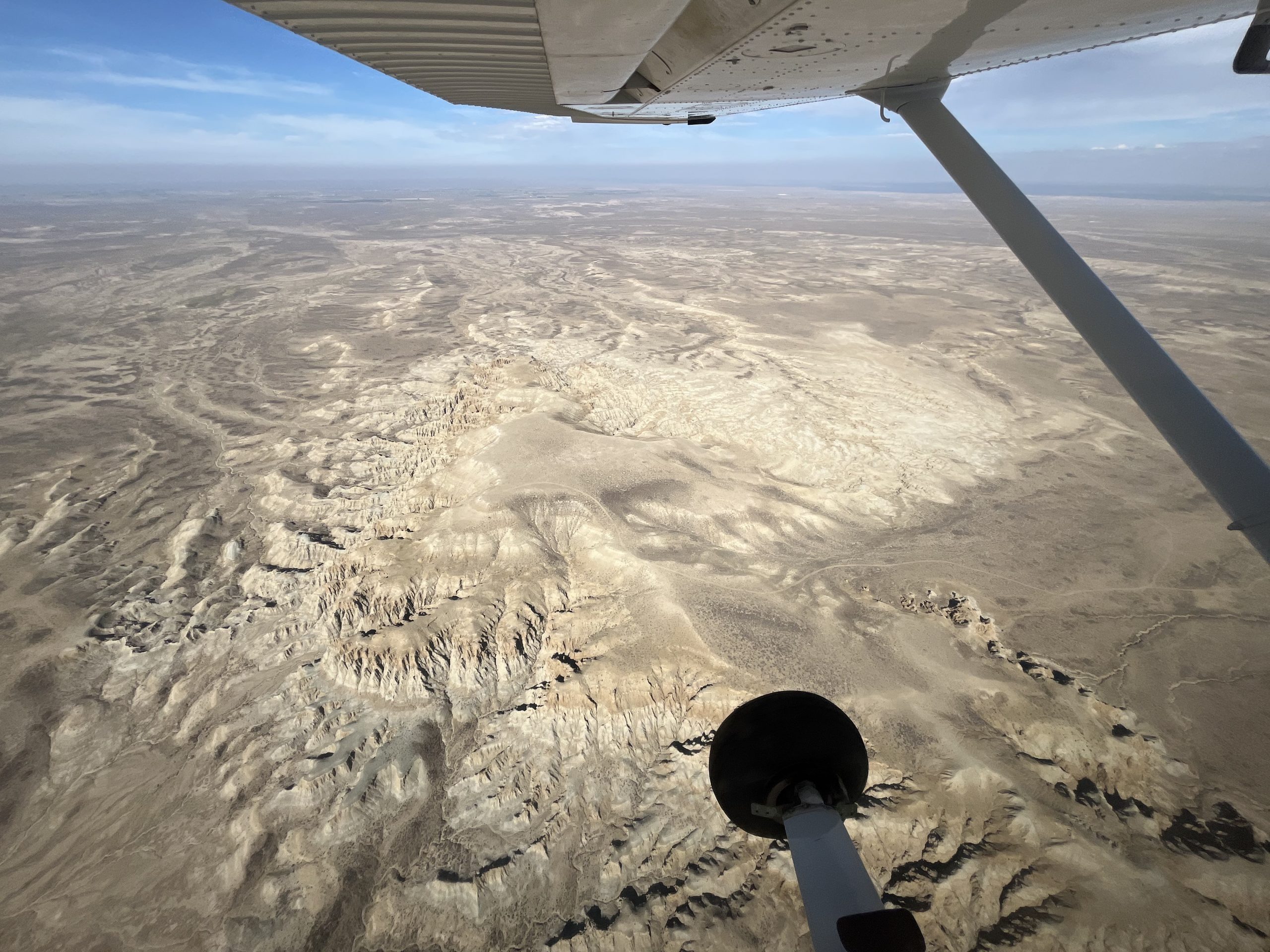
Flying over Wyoming’s Northern Red Desert region in the Wind River Range. Photo by Vincent Tropéa.
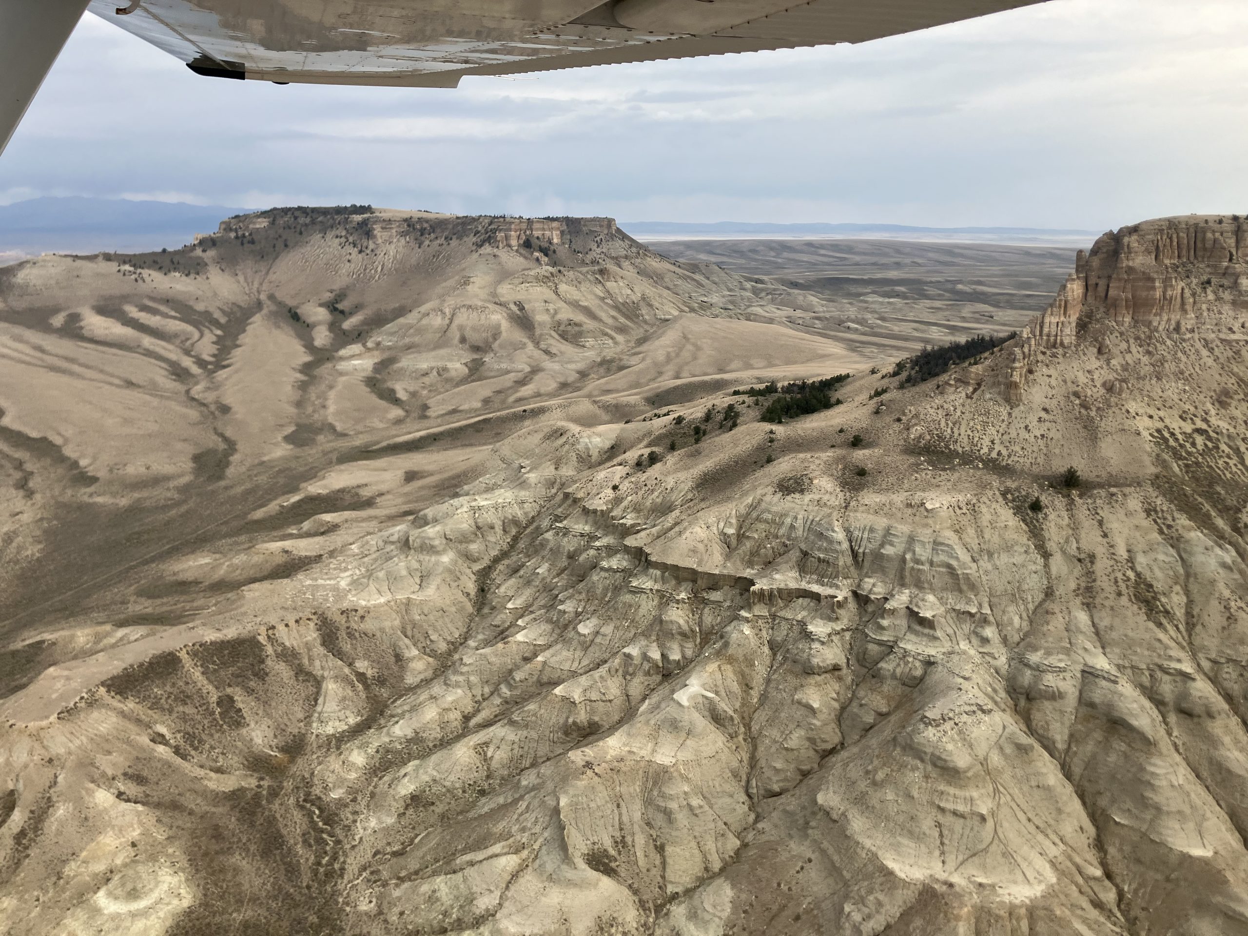
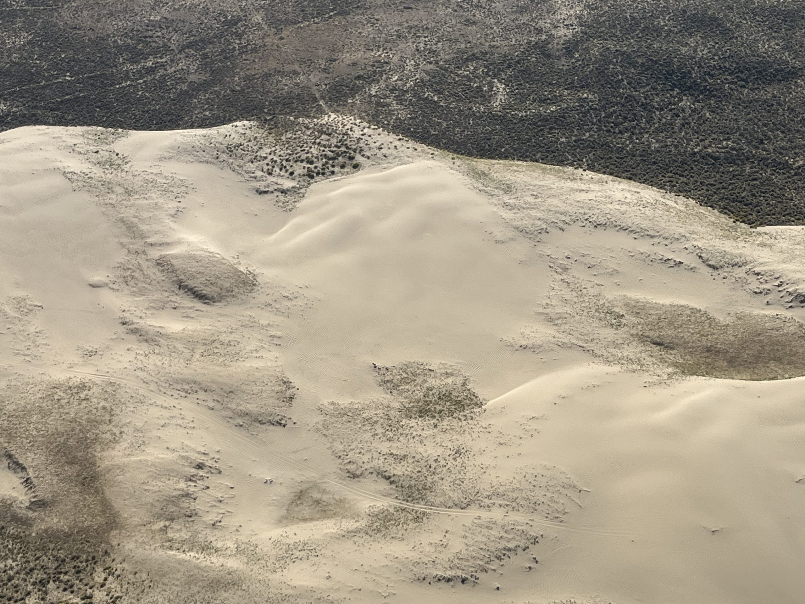
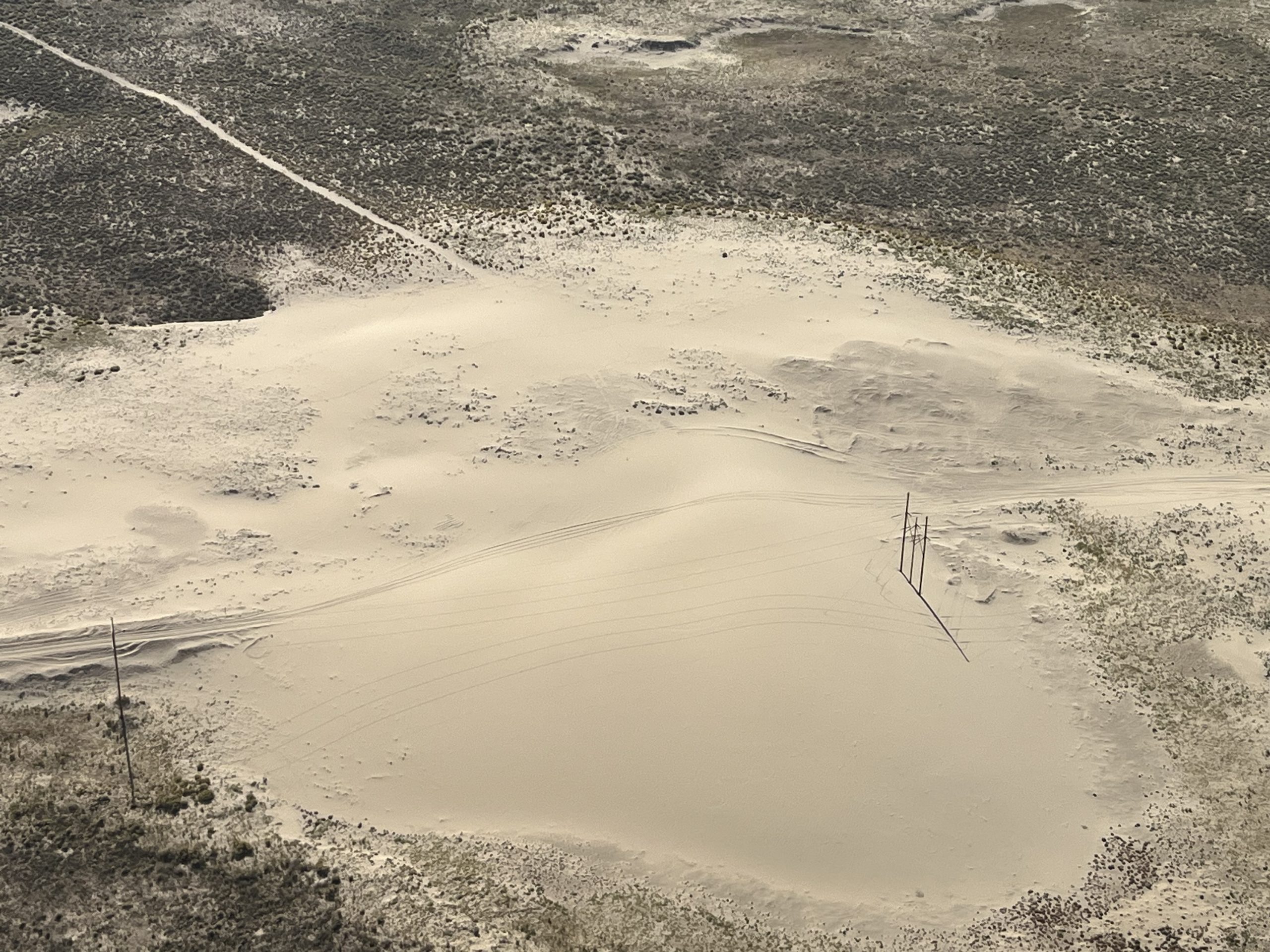
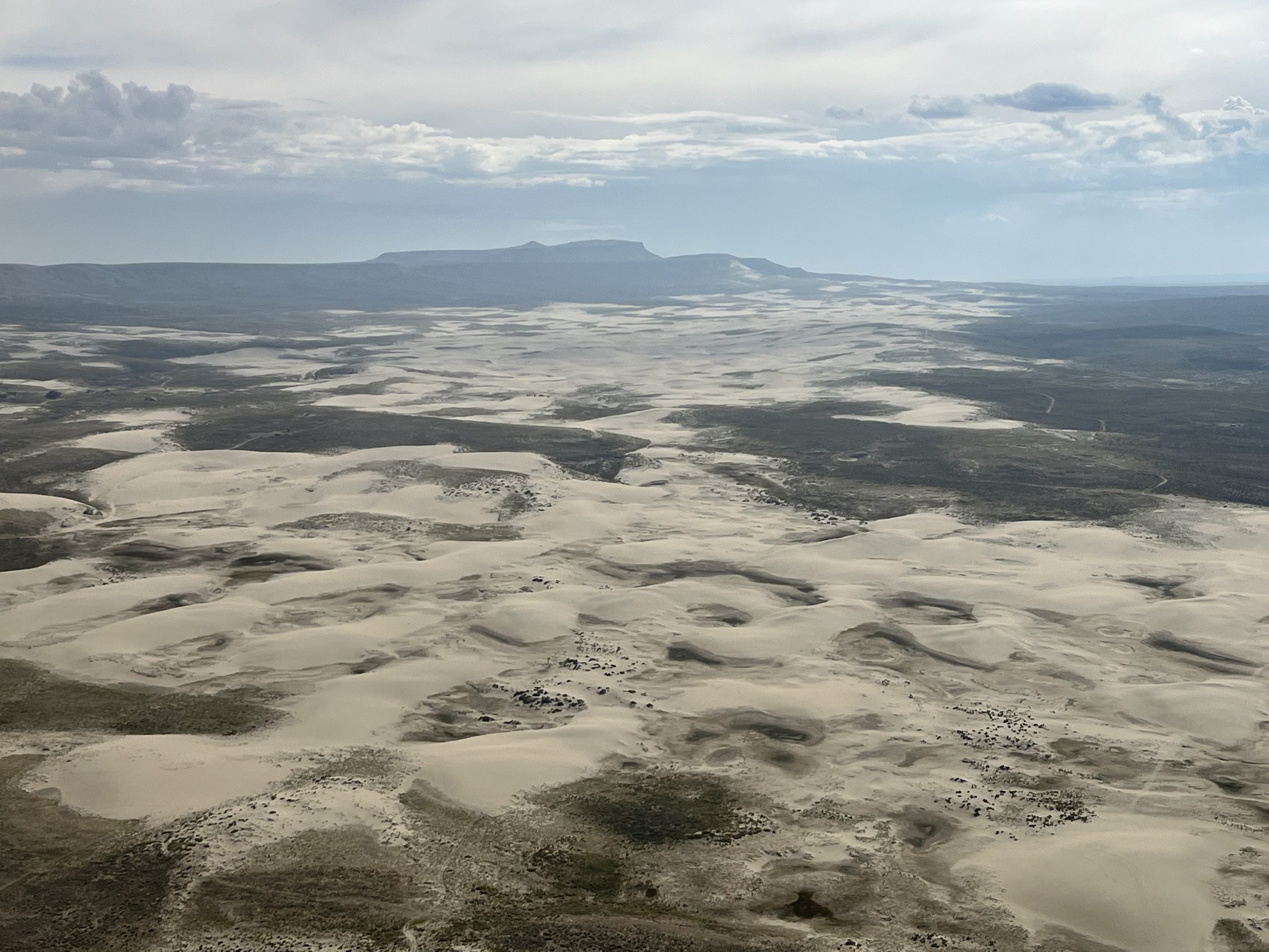
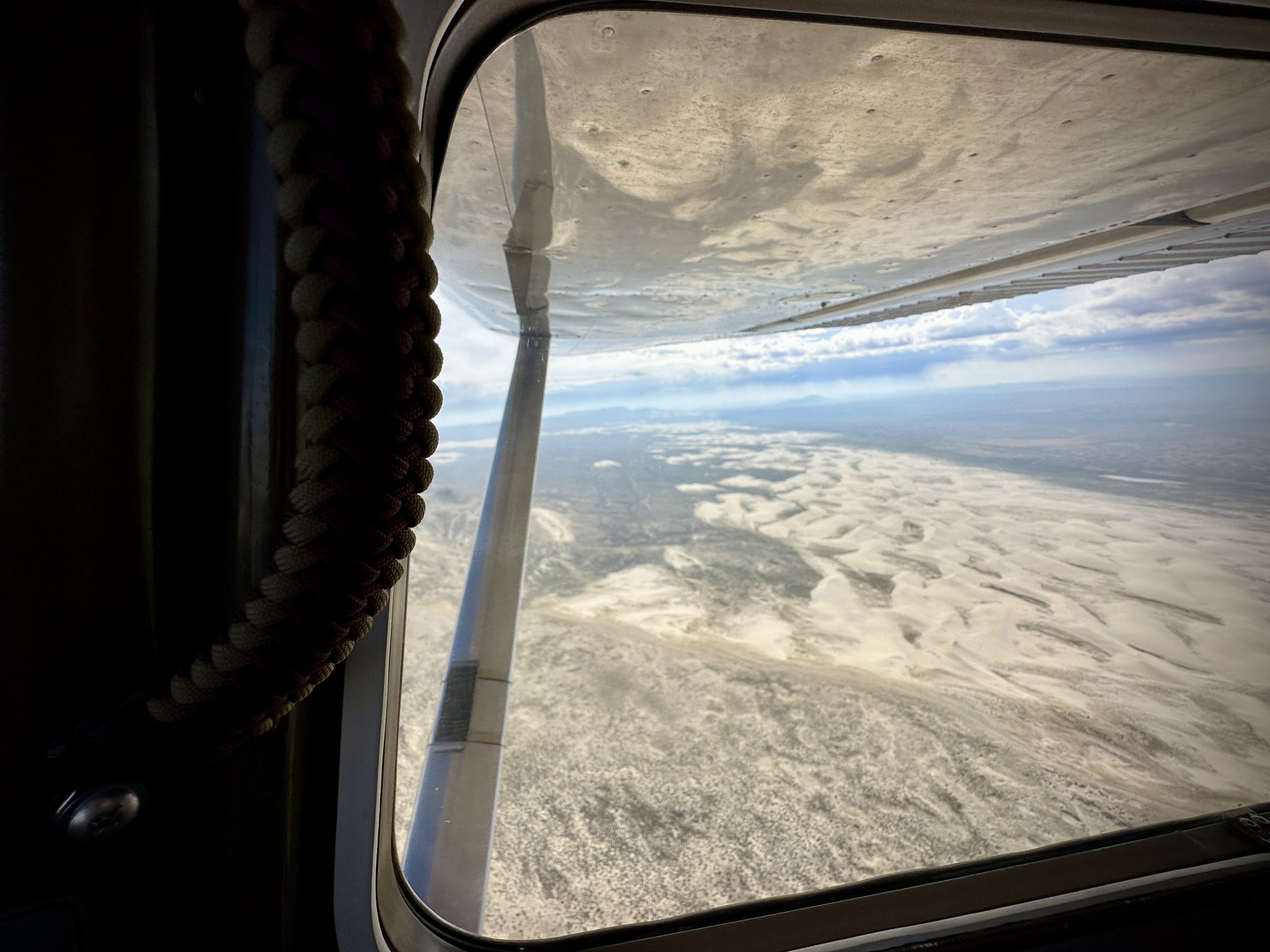
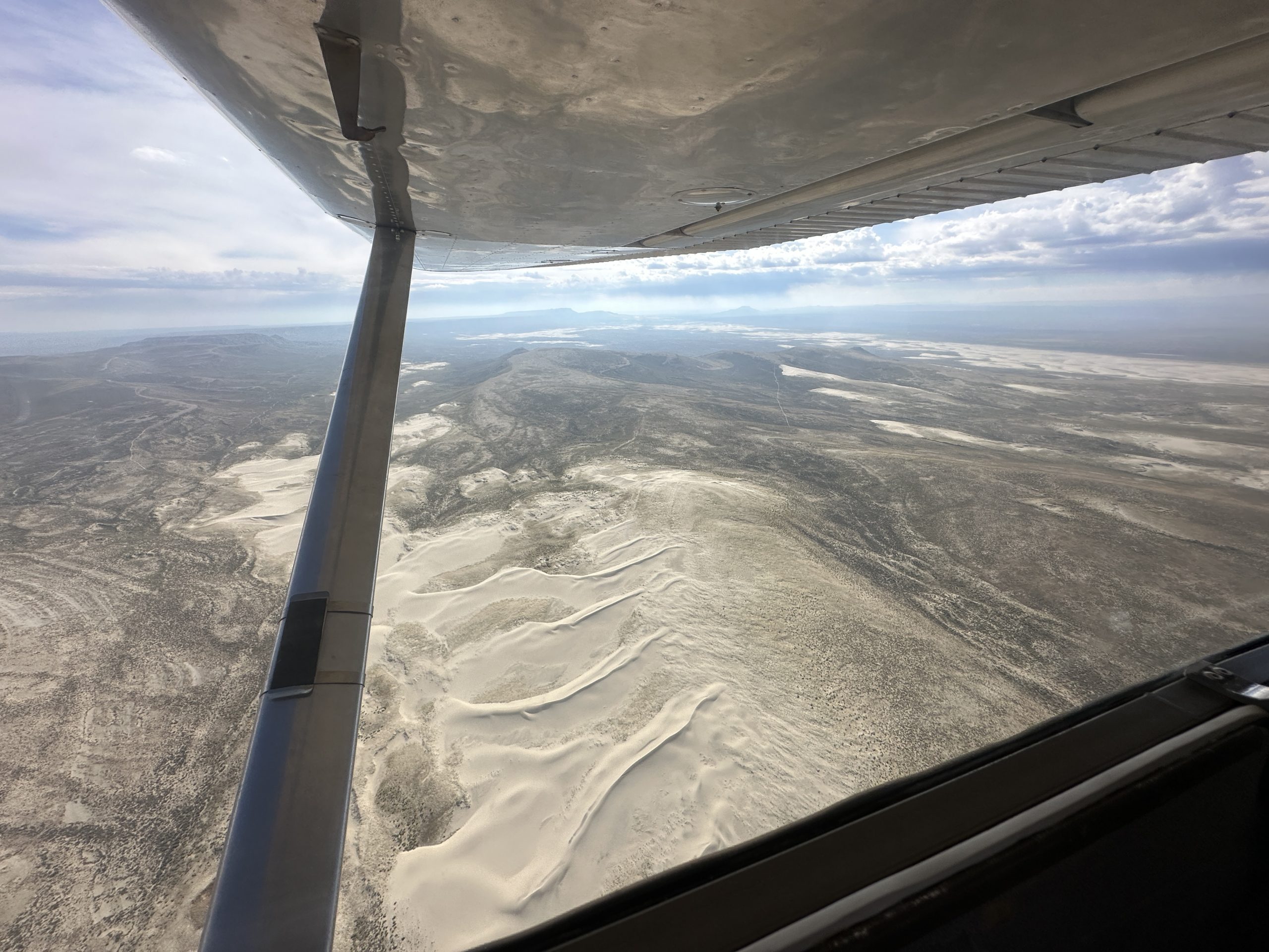
The Northern Red Desert and Big Sandy Foothills of the Wind River Range in Wyoming are considered some of the most ecologically significant lands in the lower 48 states. They provide habitat for the world’s highest density of sage grouse as well as home to pronghorn, mule deer and other species. These lands also hold deep cultural significance for many tribal nations, with sacred sites and the traditional homelands and hunting grounds of the Eastern Shoshone.
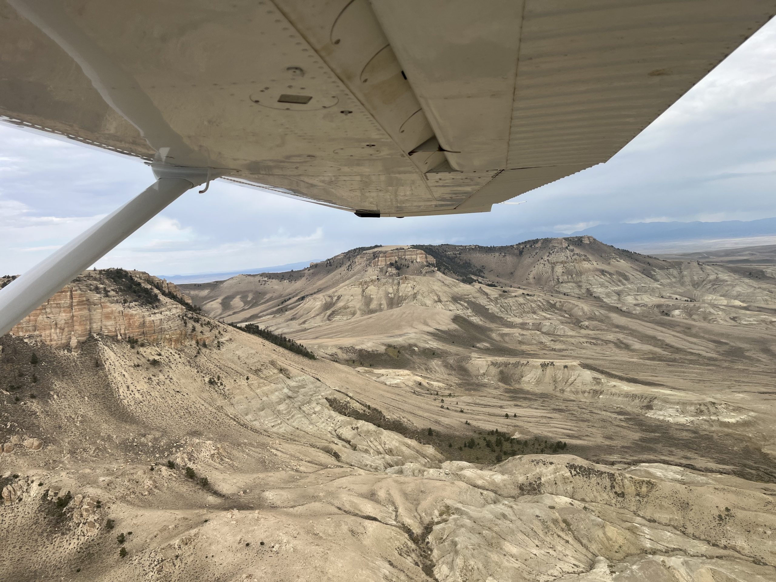
Although the Rock Springs Management Plan currently protects the area, recent federal actions could weaken those protections to allow for more oil and gas development. That’s why LightHawk partnered with the Wyoming Outdoor Council to conduct a media tour of the region, giving reporters an aerial view of the landscapes at risk.

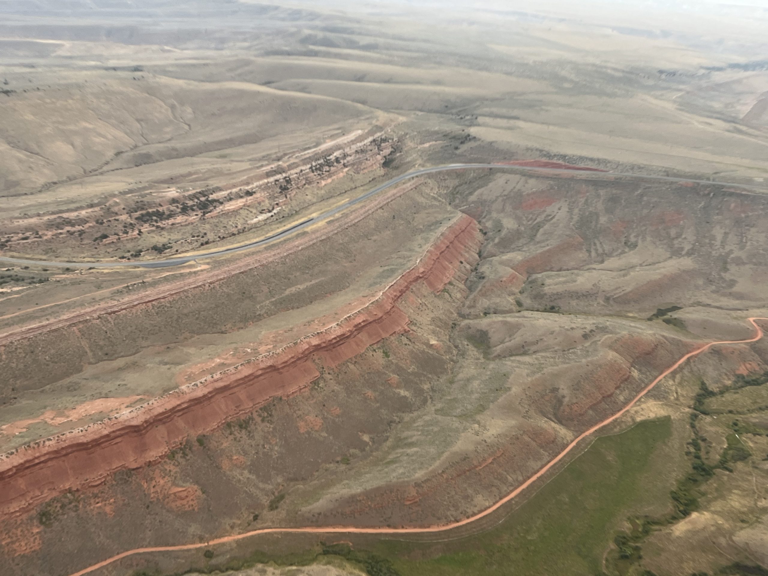
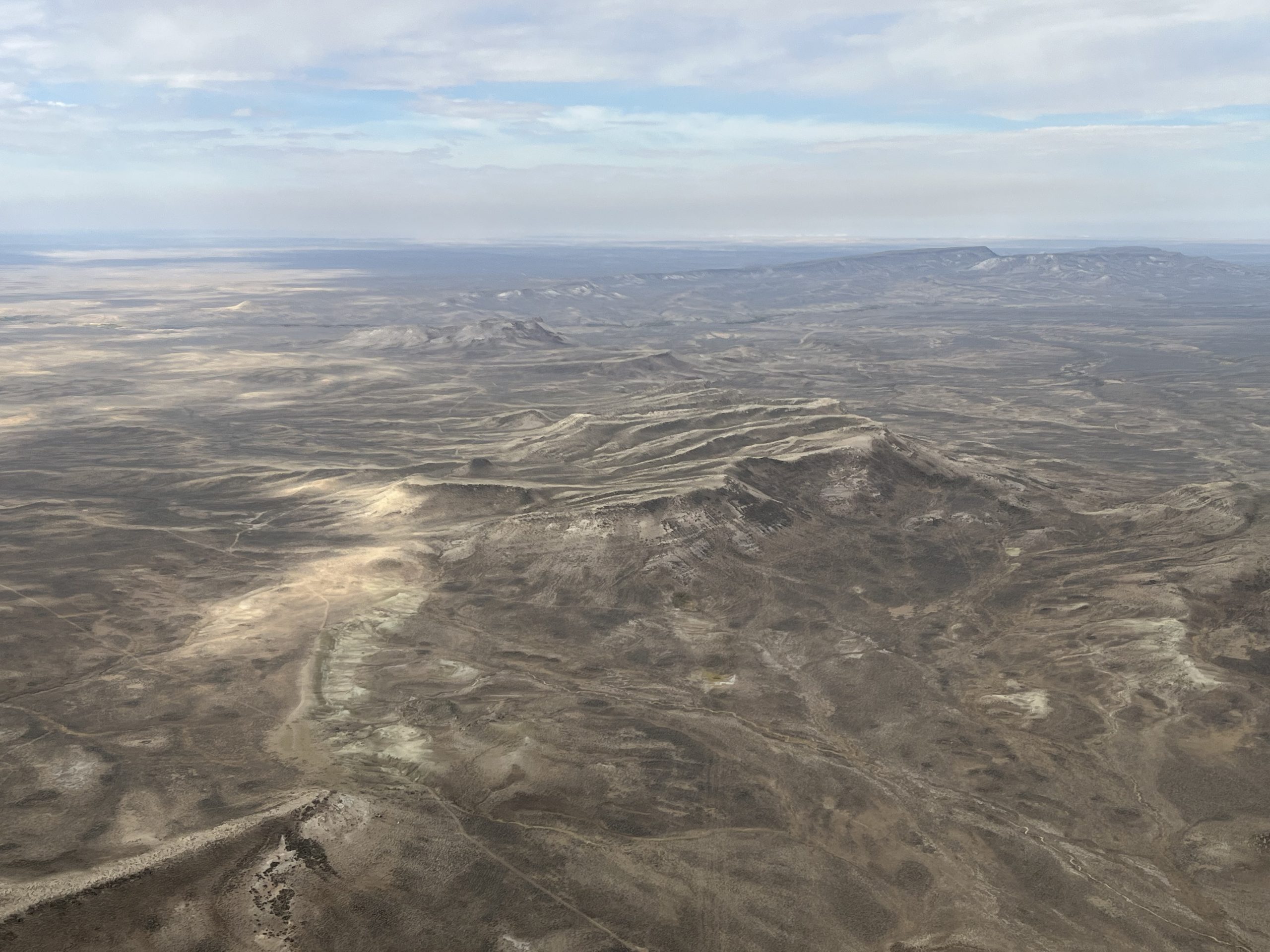
The Big Sandy Foothills of the Wind River Range in Wyoming are currently protected by the Rock Springs Management Plan but the current administration has signaled a desire to scale back those protections. Photo by Vincent Tropéa.

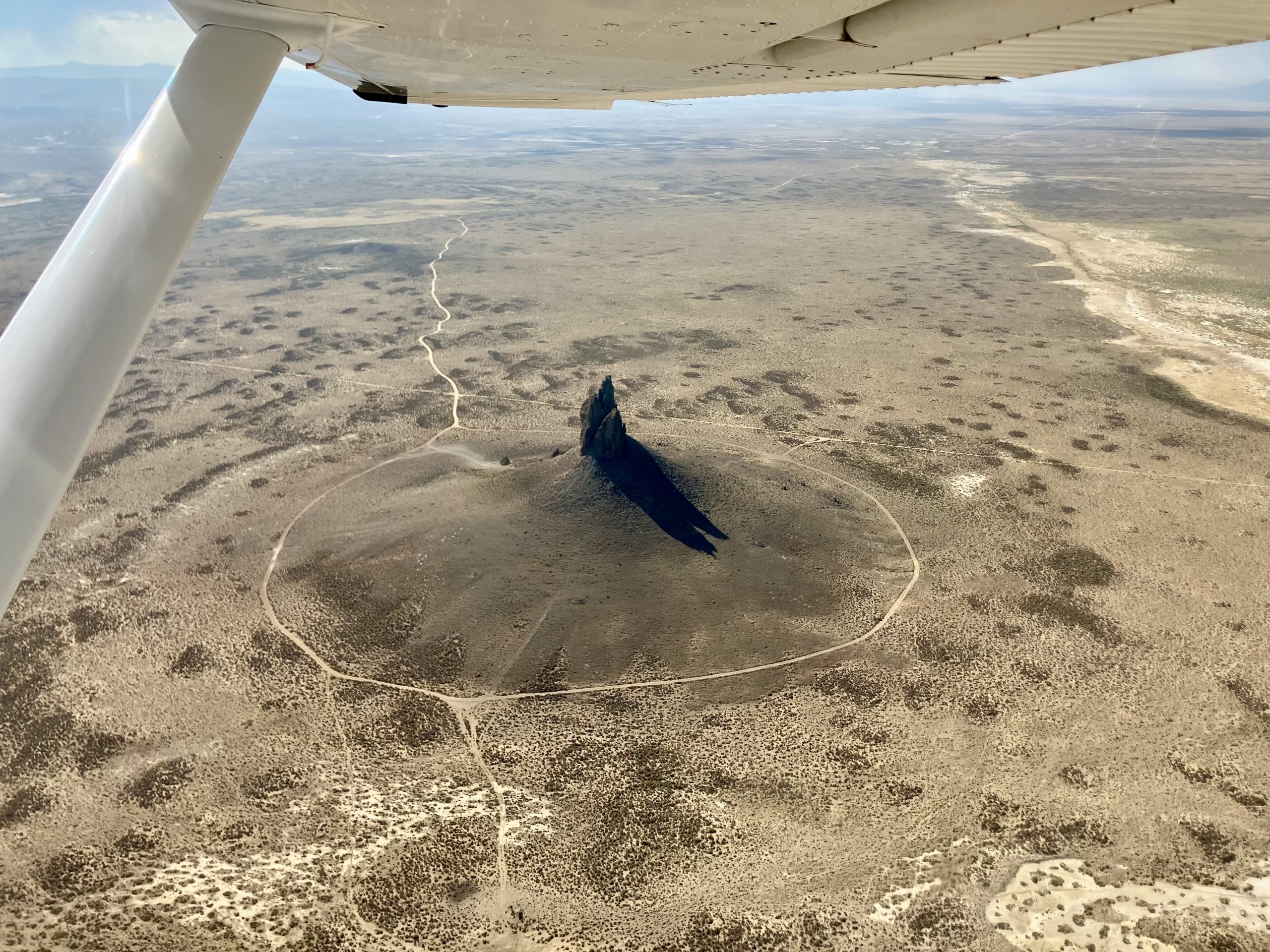
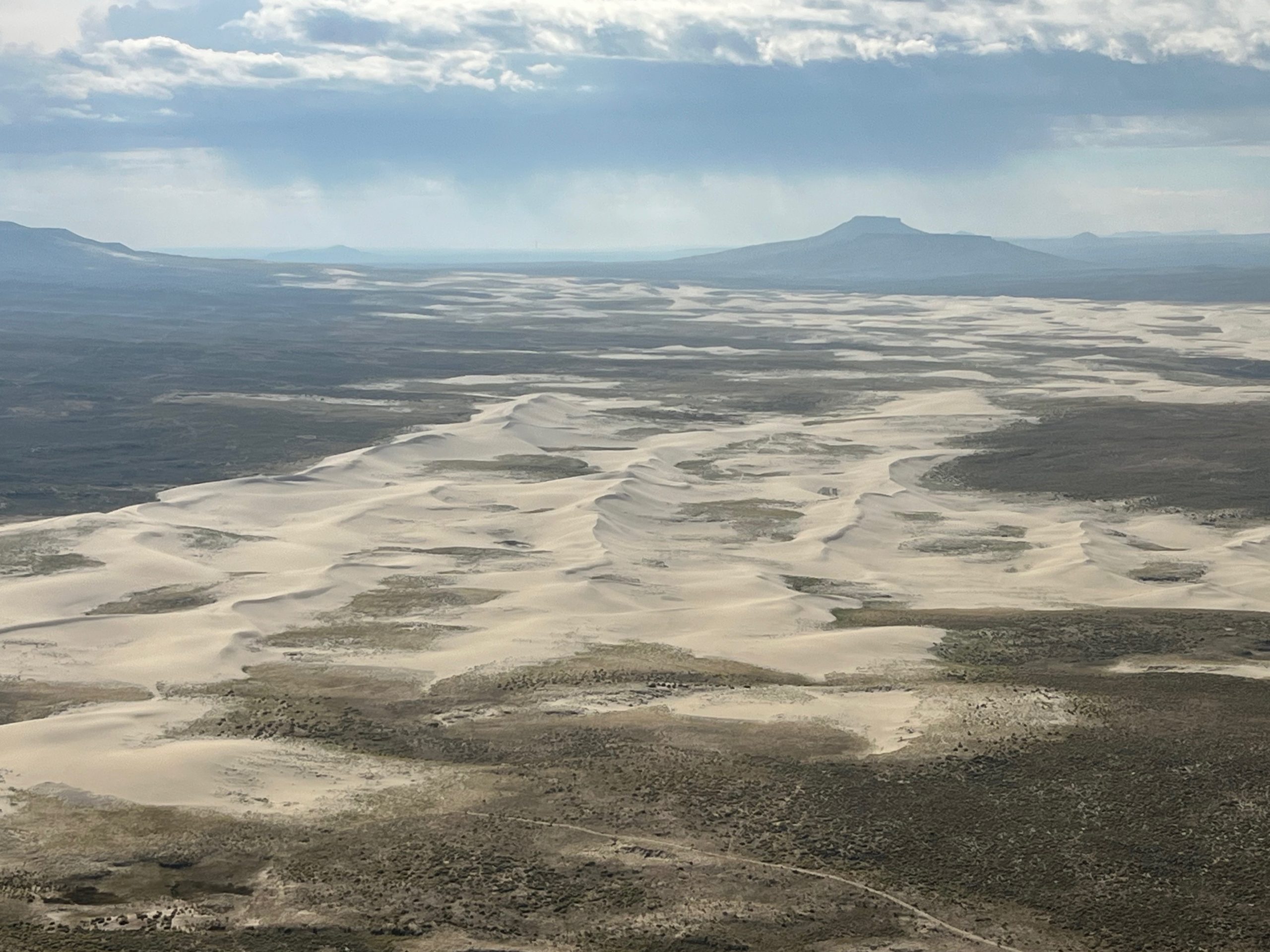
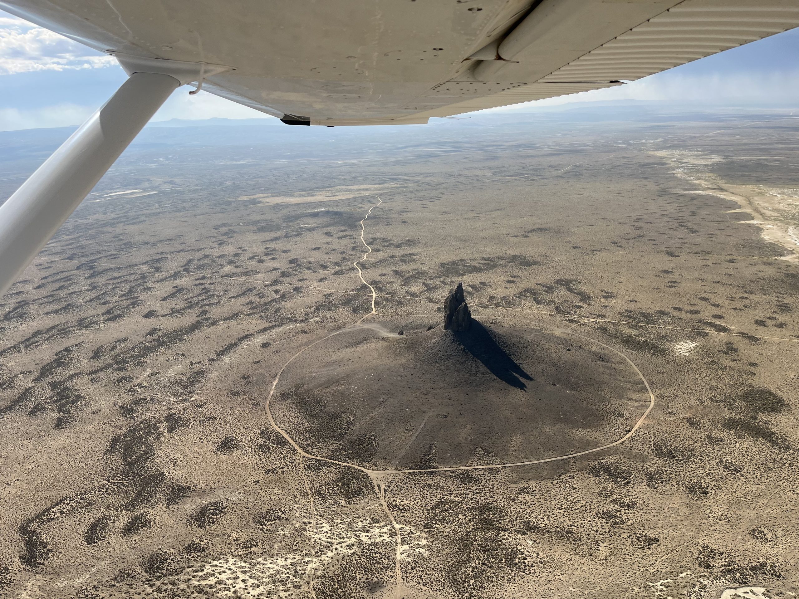
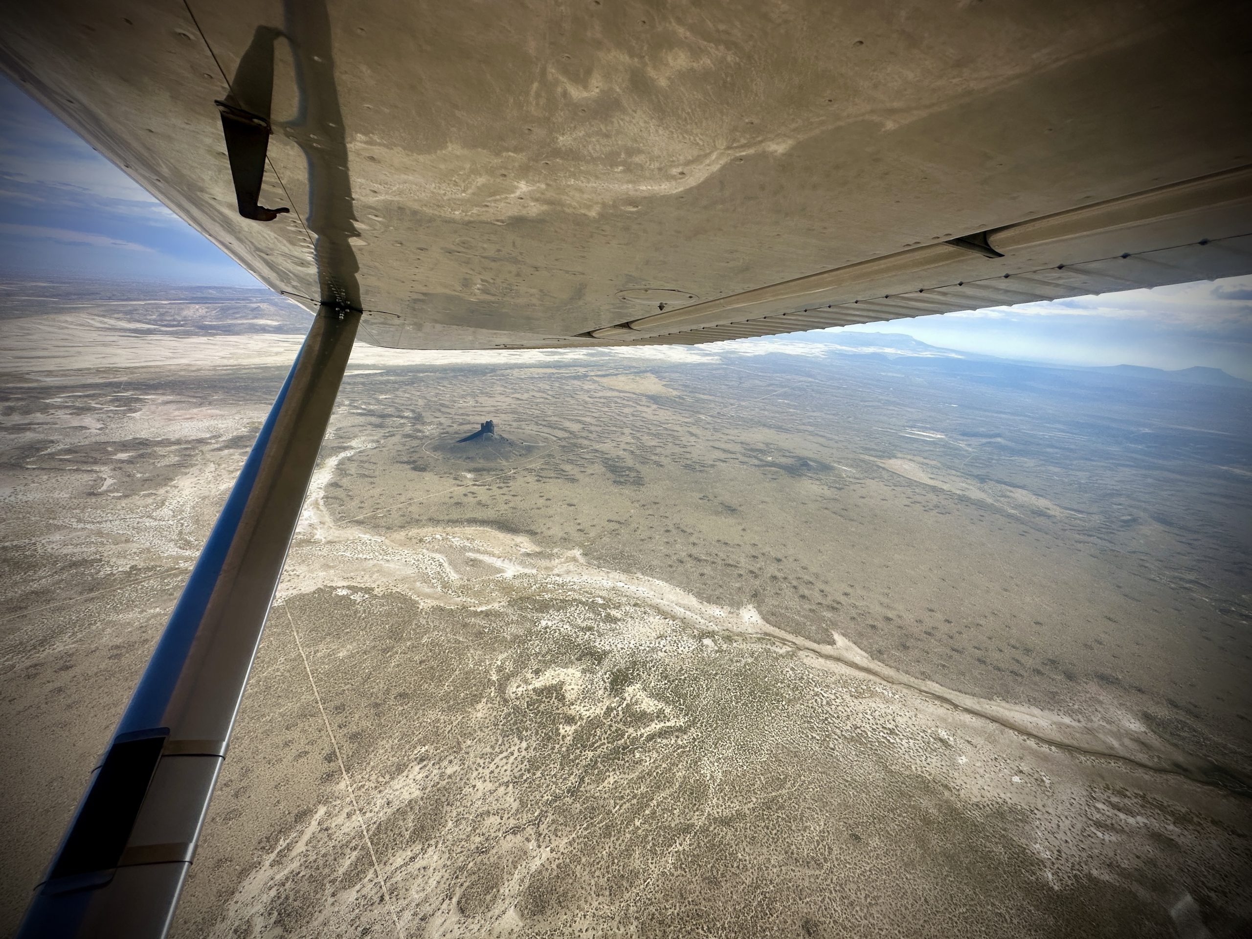
The Boars Tusk – Used as a landmark for indigenous peoples, pioneers, hikers, railroad travelers, and countless other groups, this distinct feature is the core of a long dormant volcanic eruption. Photo by Vincent Tropéa.
Managed by the Bureau of Land Management, these lands face growing challenges. Along with the potential rollback of current protections, BLM and the US Forest Service are experiencing staff reductions, making stewardship of the public lands more difficult.
According to the Wyoming Outdoor Council, staffing cuts threaten not only land management but also the upkeep of campgrounds, trails, roads and other infrastructure. With world-class hunting and fishing at stake, the loss would be felt by both the environment and the people who enjoy it.
In addition to wildlife and recreation, the lands also support ranching and agriculture as part of a multiple-use management plan, meaning cuts could have a negative impact on the local economy as well.
Photos by Dustin Bleizeffer.
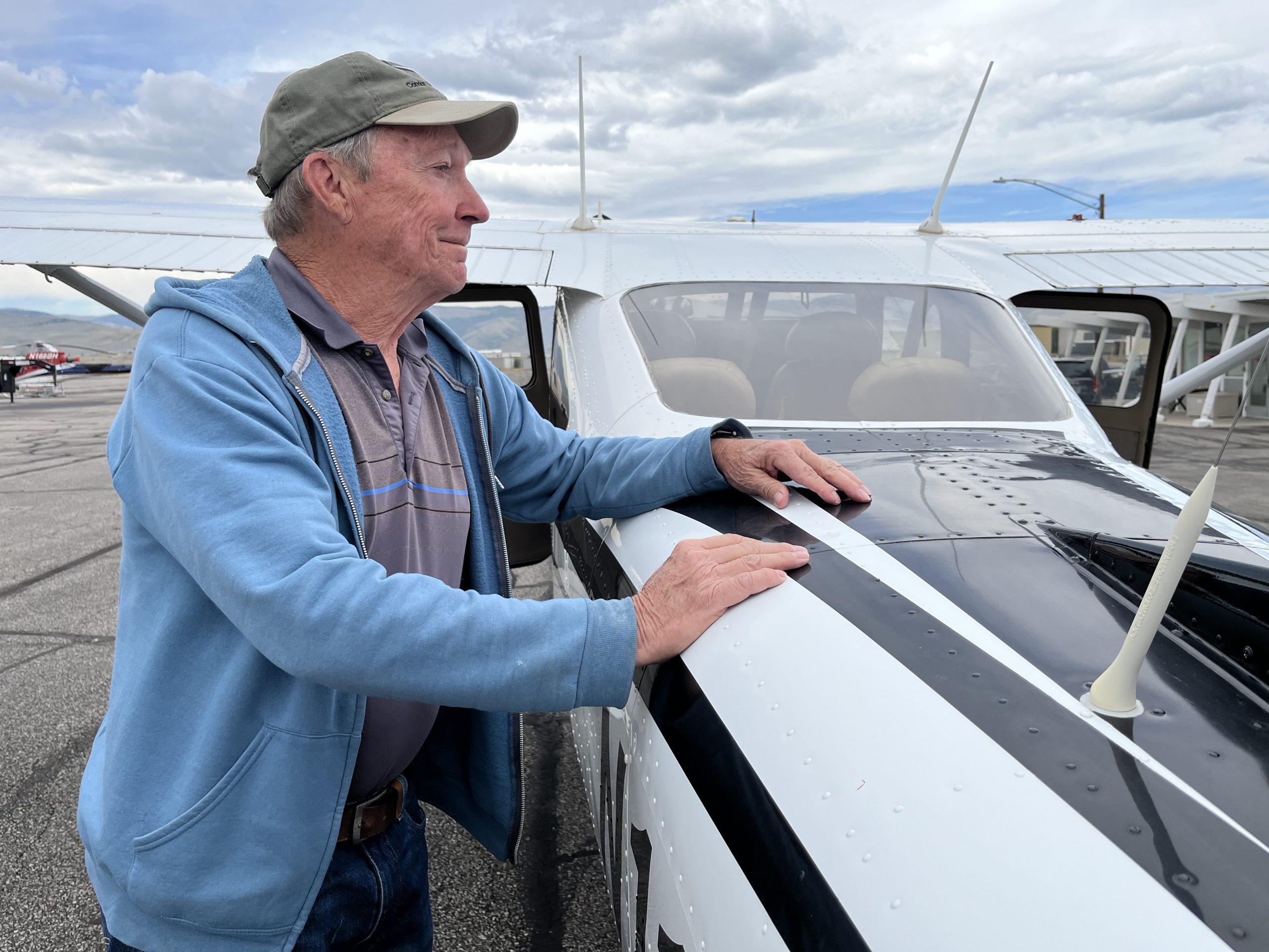
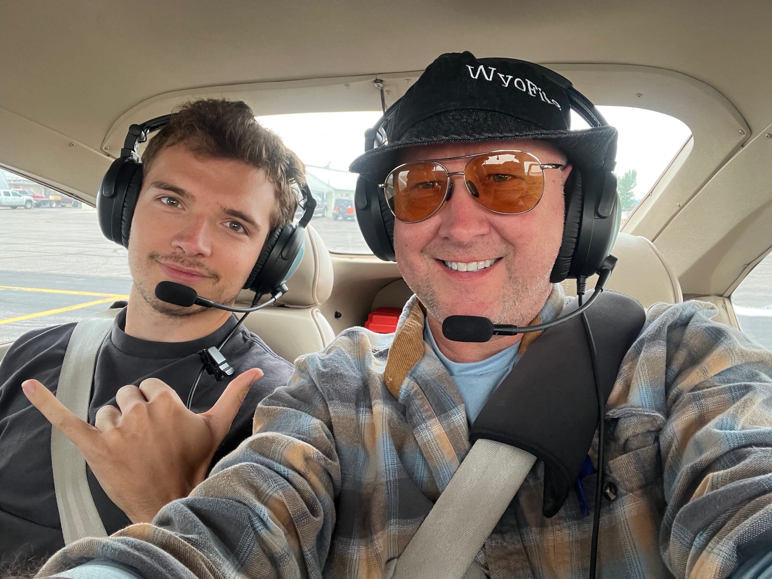
On her first LightHawk mission, volunteer pilot Bronson Daughtry, flew reporters over the region in her Cessna 210. From above, they could see just how intact the landscape is and better understand how threats to it could have long-term impacts for the region.
After the flight, Joseph Quiroz with the Wyoming Outdoor Council reflected, “The flight was indispensable in creating an initial image of the immensity and diversity of the landscape. It was my first time flying over the Red Desert in a light craft and I was surprised to see how so many features looked from the air. And this is after 20 years of land travel out there. For me personally, it has really broadened my appreciation of the place and puts me in a better position to advocate for the conservation of the Red Desert.”
This is why we fly – to offer the aerial perspective that changes hearts,minds and ultimately conservation outcomes.
Photos by Caitlin Tan.