Partners Take Flight to Protect Lands In Northwestern Maine

A group of LightHawk partners have come together to pursue protection for 78,000 acres of lands in Northwestern Maine known as the Magalloway region. Photo by Jake Metzler.
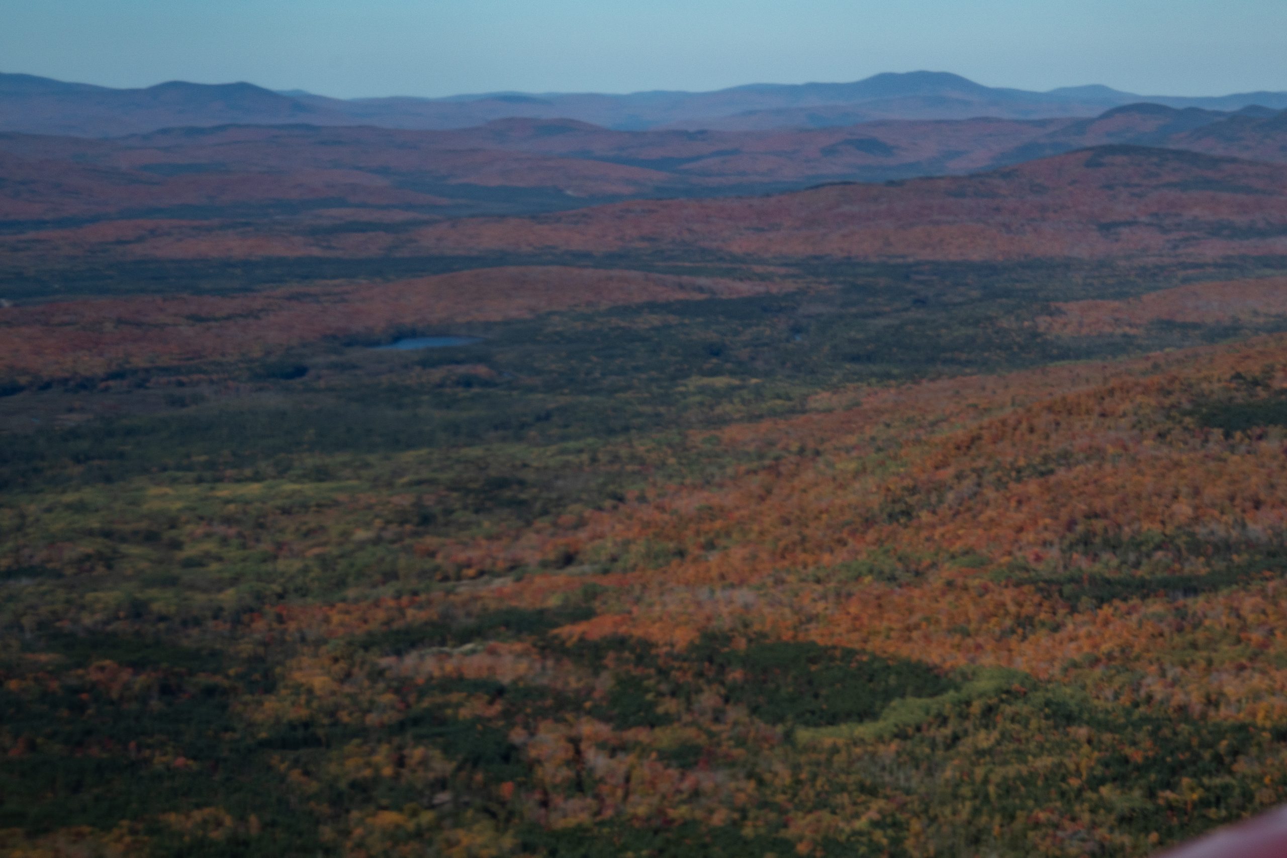
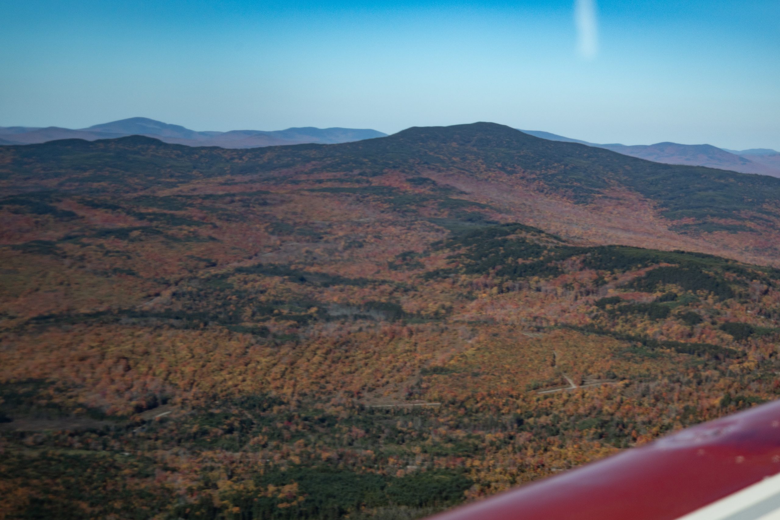
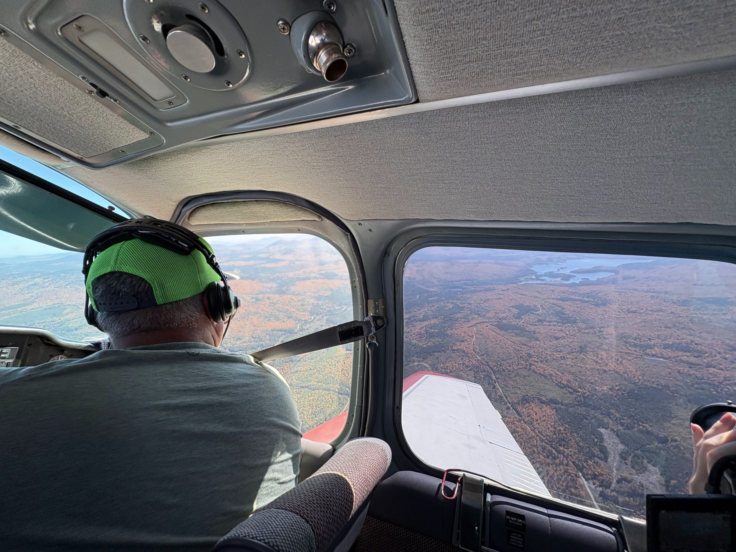
Flying above the forests of northwestern Maine in the fall provides a glorious view of the landscape, painted in the reds, yellows and oranges of Autumn. From the air, the aerial perspective captures not just the beauty and majesty of these lands, but why they matter – illustrating the importance of preserving them for future generations.
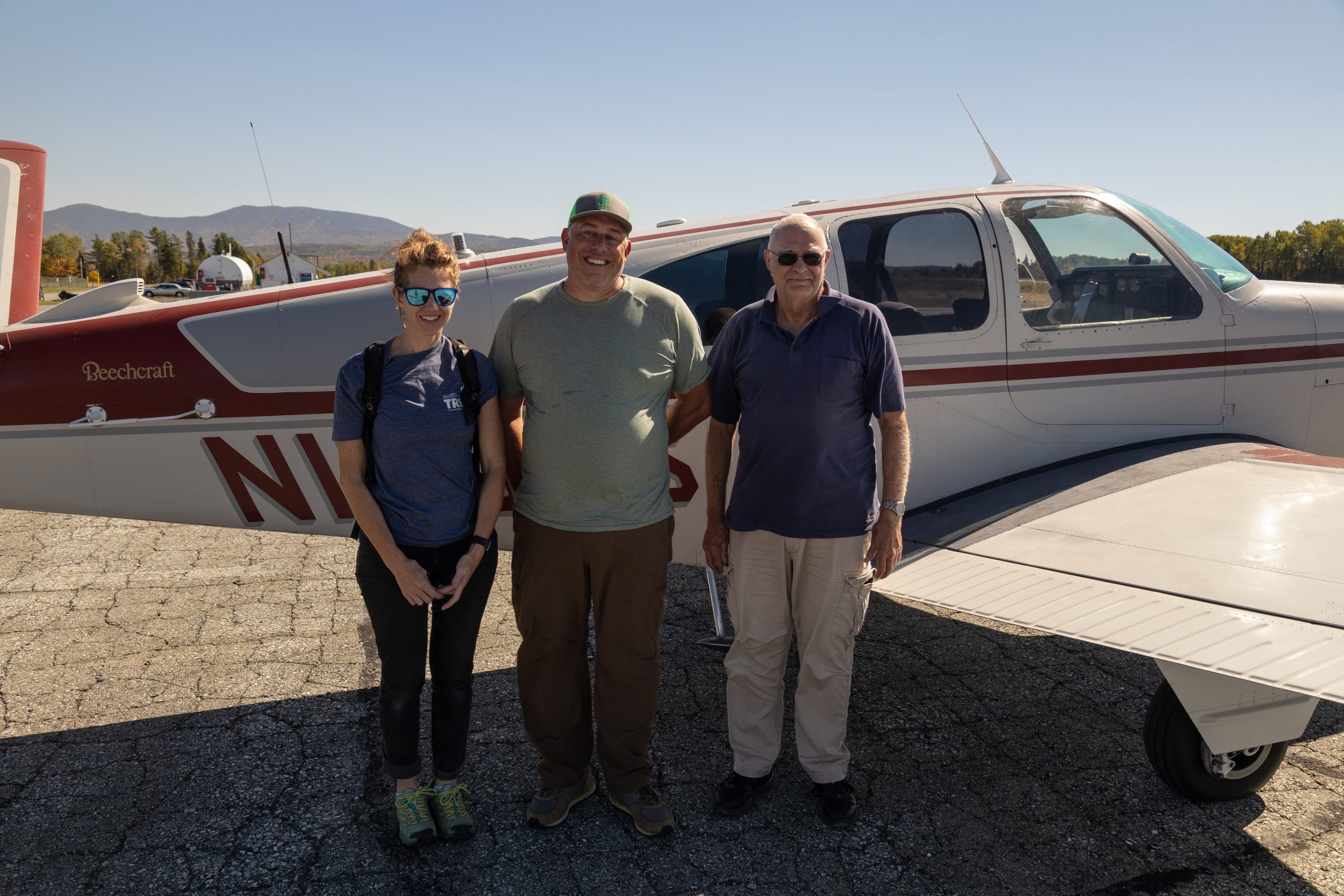
In addition to their beauty, the lands offer countless recreational opportunities while providing critical forested buffers around rivers, lakes and streams. To help advance their conservation, LightHawk partnered with Forest Society of Maine, The Nature Conservancy – Maine, Northeast Wilderness Trust and the The Rangeley Lakes Heritage Trust to fly members over the Magalloway region.

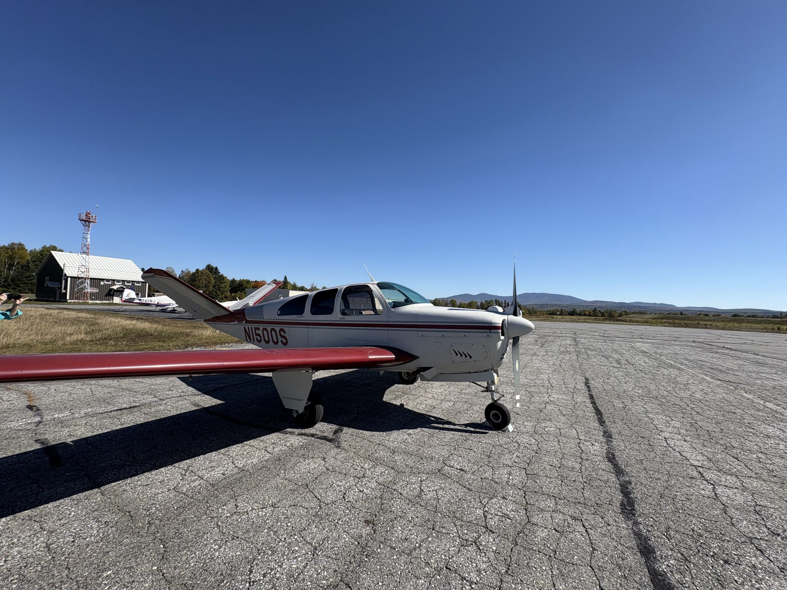
Volunteer pilot Scott Cianchette provided a flight for our partners to collect imagery and data for their efforts to advocate for land protections. Photo by Abby King.

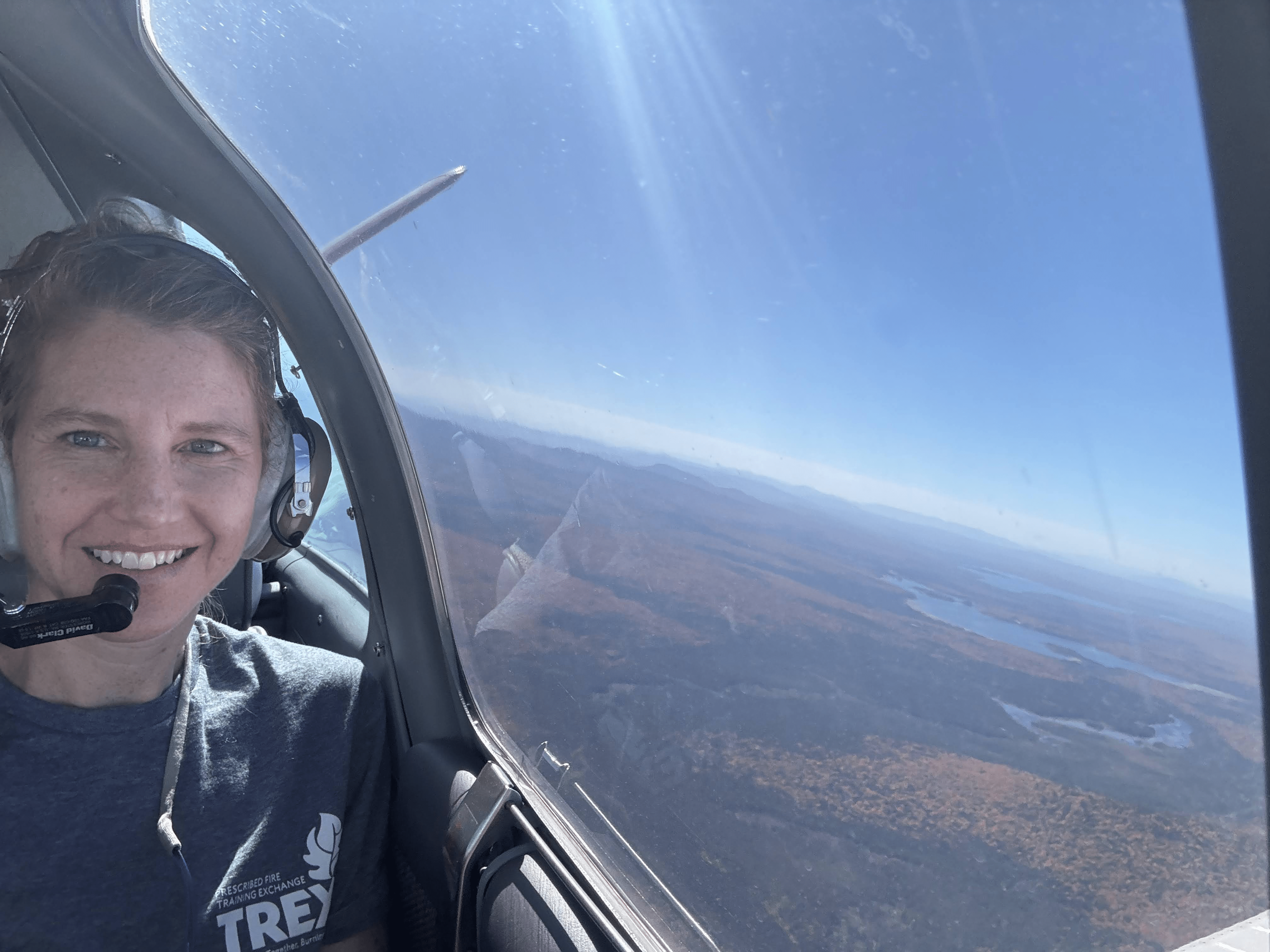
Flying with LightHawk never fails to bring a smile to the faces of our partners. Photo by Abby King.
Together, these four organizations are among a collaboration of partners aimed at permanently conserving 78,000 acres of forested lands. According to the Forestry Society, “the project will help sustain the regional economy by continuing opportunities for active forest management on 62,500 acres, and in addition, designate an 11,200-acre wilderness preserve that will enhance forest and biological diversity within its boundaries.
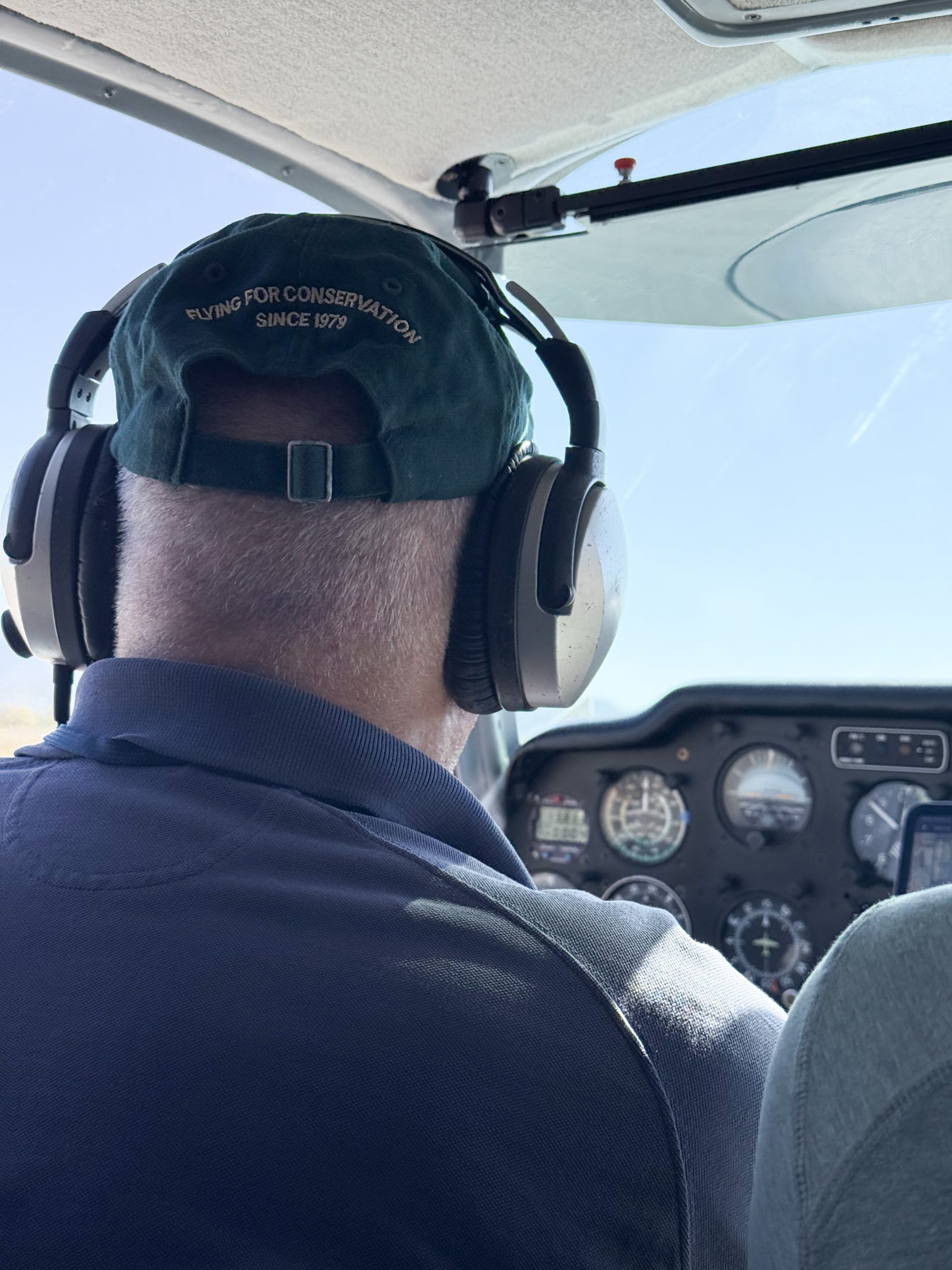
LightHawk volunteer pilot Scott Cianchette took passengers on a two-hour flight above northwestern Maine’s forests to capture stunning imagery that will educate and inspire potential donors about the importance of protecting these lands. From above, the group toured the entire project area, and experienced firsthand the vastness and connectivity of the landscape.

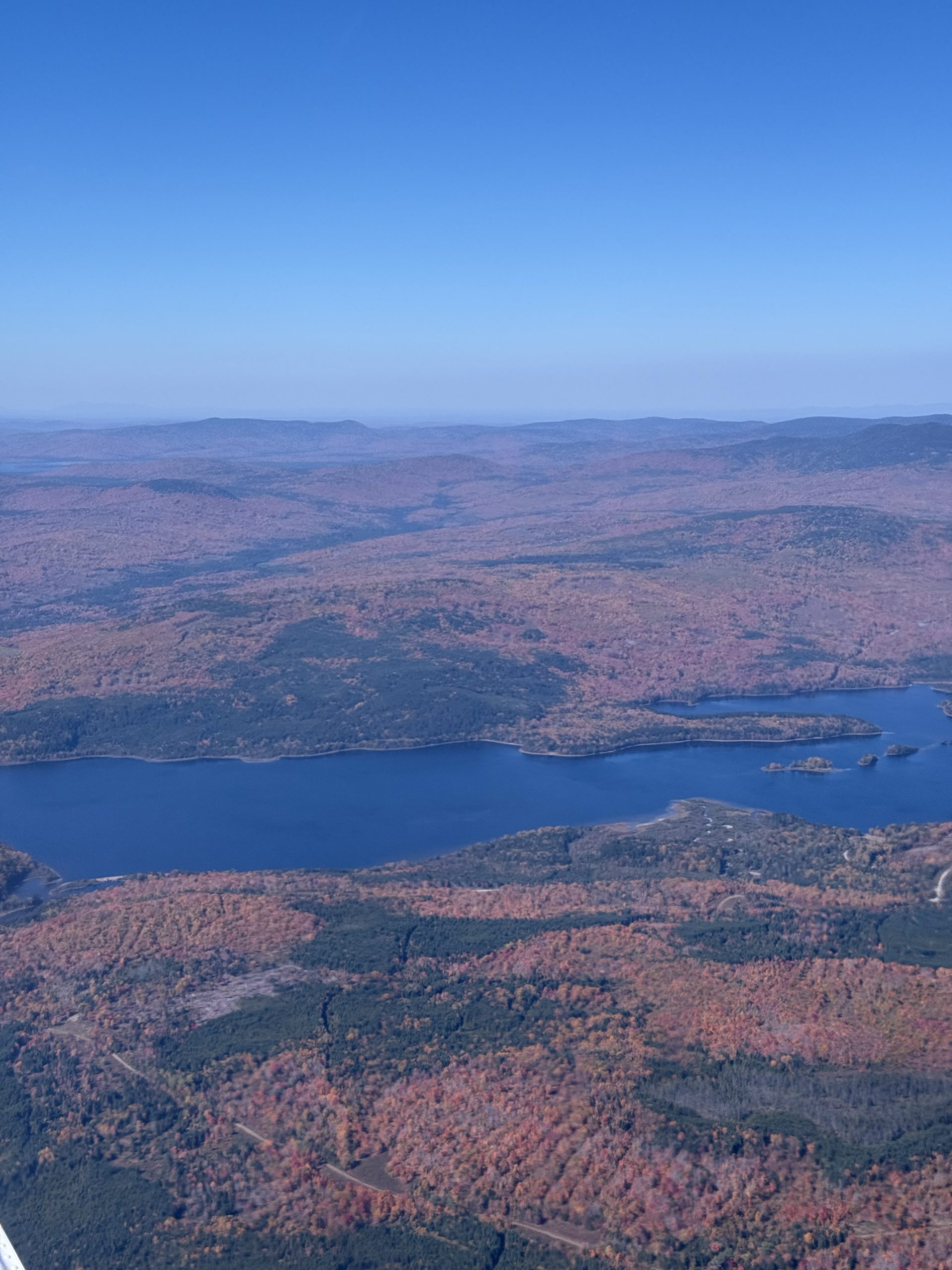
The flight took passengers along the shores of Aziscohos Lake in Northwestern Maine. Photo by Jake Metzler.

The flight revealed the beauty of the forests decorated in fall colors. Photo by Jake Metzler.

A significan t portion of the lands around Aziscohos Lake are within the 78,000 ac Magalloway River project area. Photo by Nichole Whitney.
After the flight, The Nature Conservancy’s Abigail King shared her appreciation, “Thank you for this opportunity! It was very useful for me to be at this altitude in order to truly understand the landscape context and scale of our conservation project.”
Thanks to Scott, Abigail and her colleagues gained a new perspective on their on-the-ground work to preserve these special places. From this flight, our partners gained the perspective they need to inspire others and turn a view from above into action on the ground to protect western Maine’s forests.
Photos by Abby King, Nichole Whitney, and Jake Metzler.