Category: Featured Mission
-
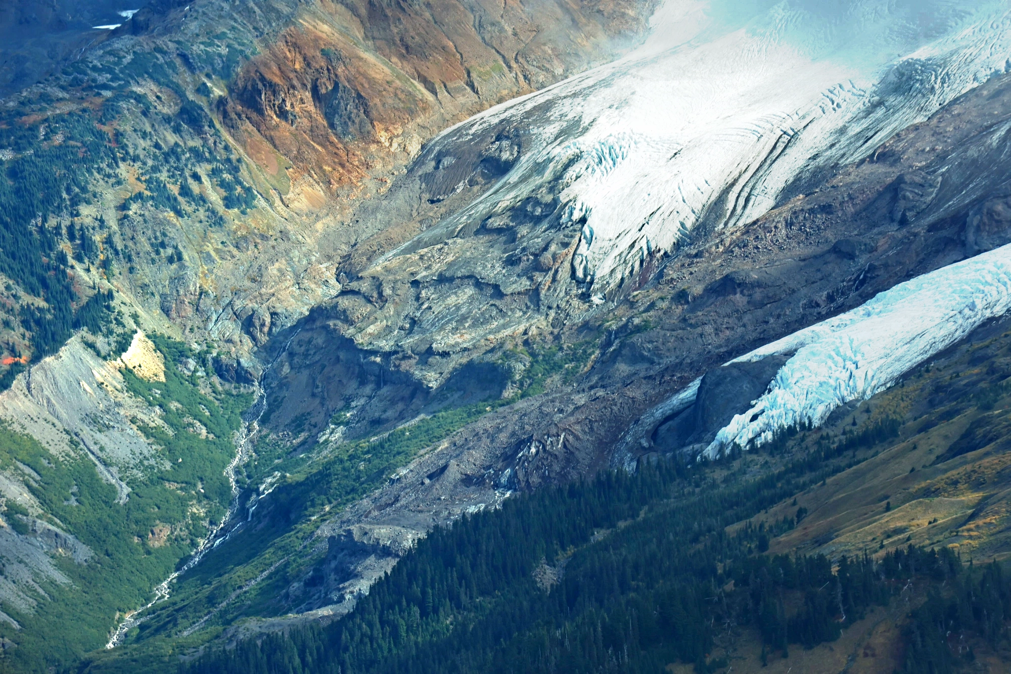
Documenting the Nooksack from Source to Sea
Understanding a river means looking beyond individual stretches of water. For William Henkel, a graduate student in Cultural Anthropology at Western Washington University, documenting the Nooksack River meant tracing the connections between its remote mountain headwaters, downstream communities and coastal delta. Henkel’s ethnographic research examines hydrological and social change along the 74-mile river in northwestern…
-
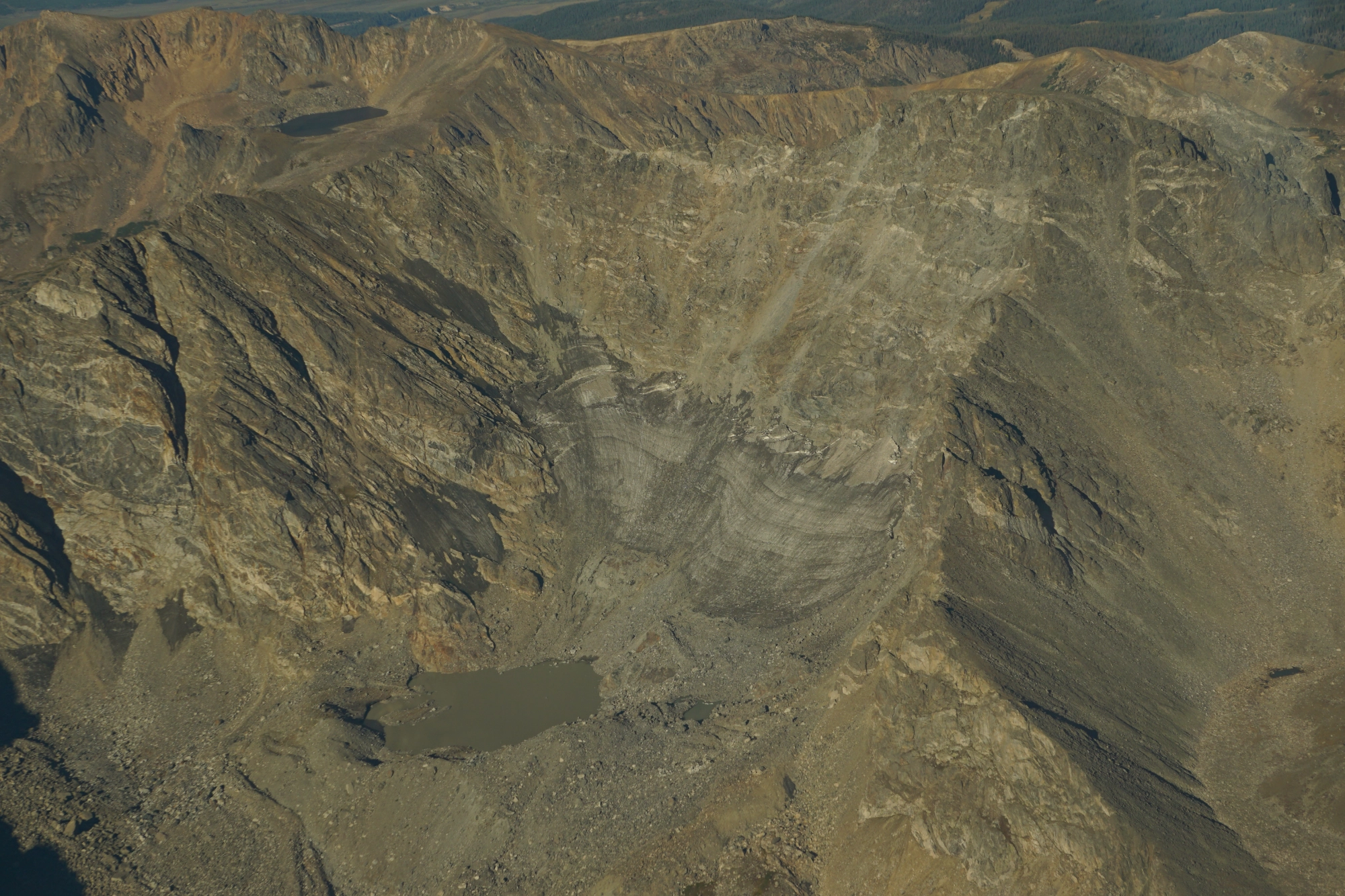
Twelve Glaciers. Two and a Half Hours.
Colorado’s glaciers and perennial snowfields are shrinking. Documenting those changes means reaching remote mountain sites and gathering photographs from many angles, work that once required long hikes across difficult terrain. LightHawk and Colorado State University researchers are using flight to cover that ground more efficiently and test a new approach to measuring the changing ice.…
-
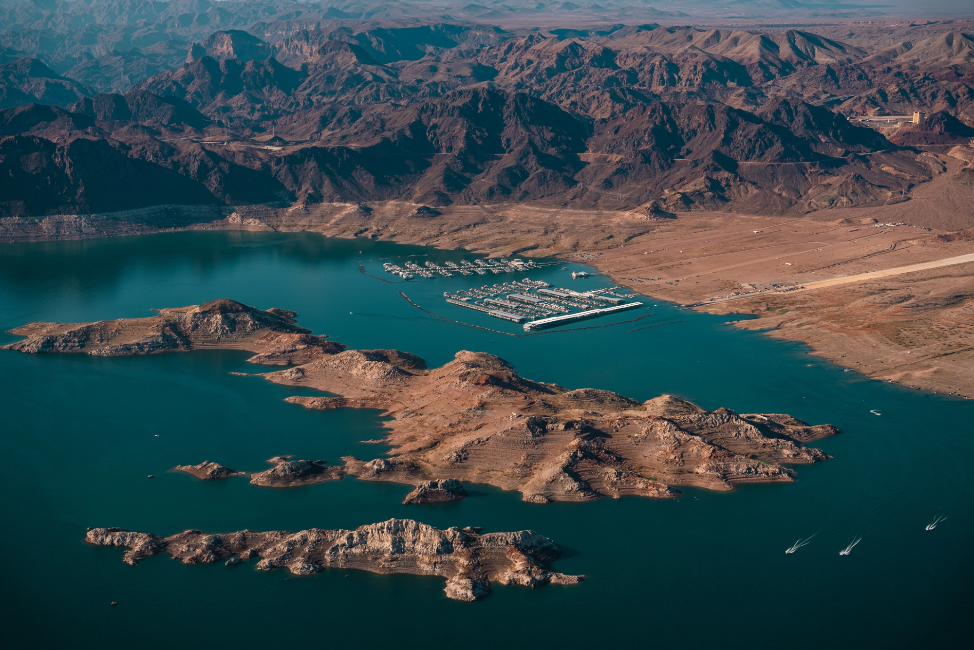
From 1,300 Miles on Foot to One Powerful View from Above
Starting high in the Rocky Mountains, the Colorado River winds south through some of the most dramatic and heavily used landscapes in the American West before reaching toward the delta in Mexico. This summer, ultra-marathon runner Mina Guli has been following that same path on foot. Working with partner Keep the River Running, Guli is…
-
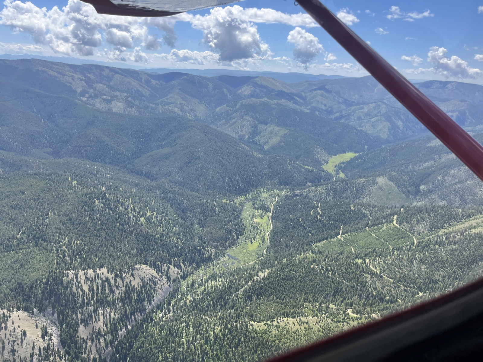
Aerial Tours Expose Mine Risk to Bitterroot Watershed
The Bitterroot River winds through a picturesque valley in Western Montana, its meandering path carving a winding streambed across the landscapes and depositing rich soils that have served family farms for generations. The area’s beauty served as the backdrop for the Dutton Ranch in the TV series Yellowstone. The Bitterroot River’s West Fork headwaters have…
-
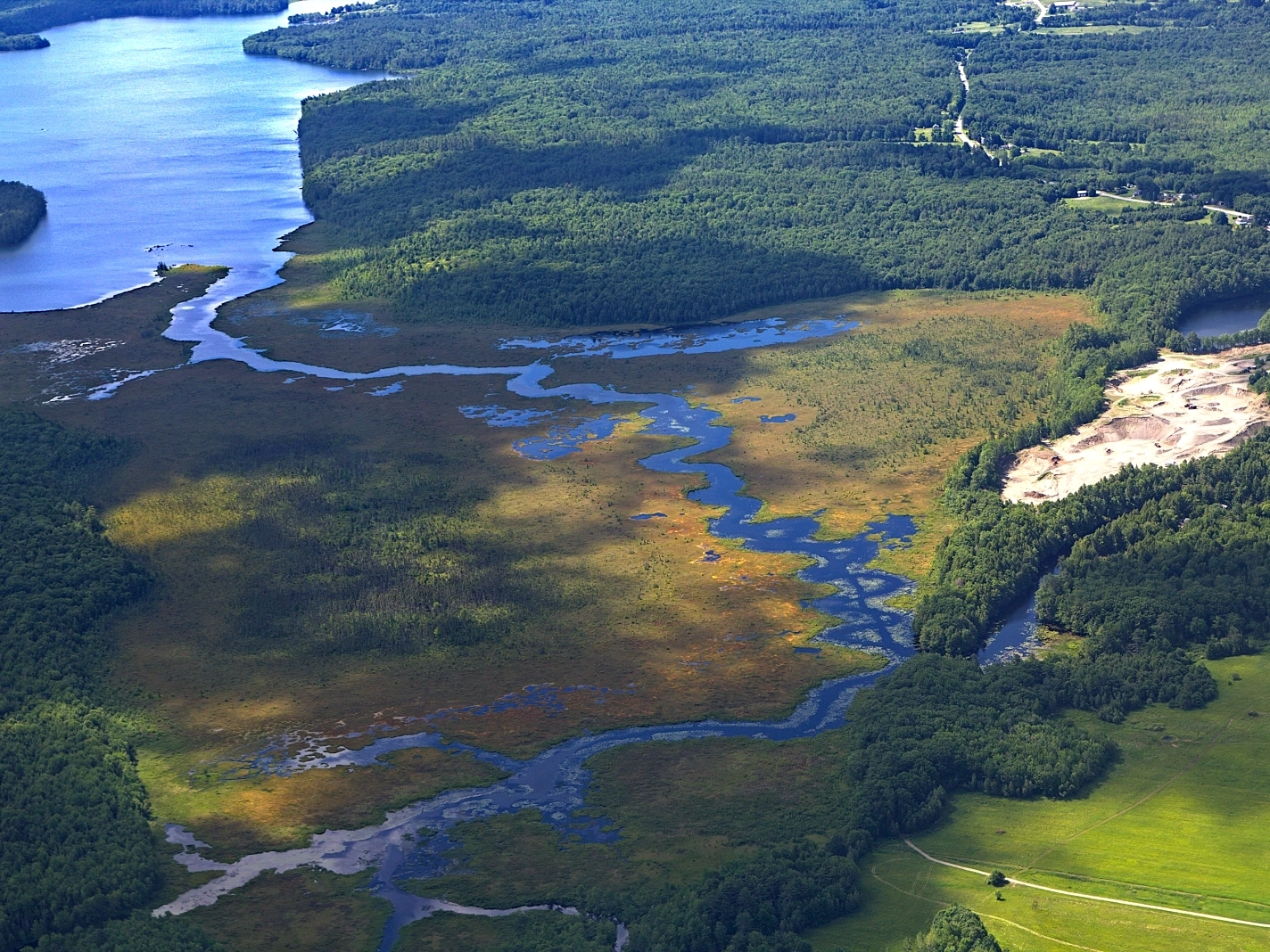
Protecting Maine’s Landscapes and Waterways
There’s a narrow stretch of water in central Maine called the Serpentine that connects East and North Ponds. From the ground, it looks like nothing more than a channel. From the air, it’s something else: a route that wildlife uses to move between waters, and one that invasive species use too. That’s the kind of…