
Coastlines
Protecting our coastal waters
LightHawk flies to safeguard our oceans, coastlines, and the rich biodiversity essential for ecosystem health and the well-being of coastal communities.
The Focus
What happens on land reaches the sea
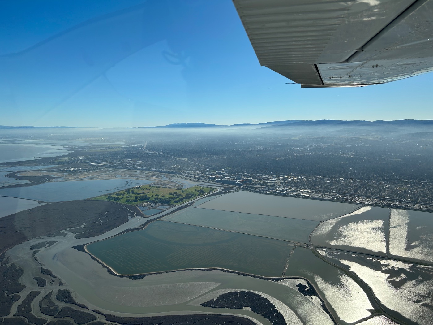
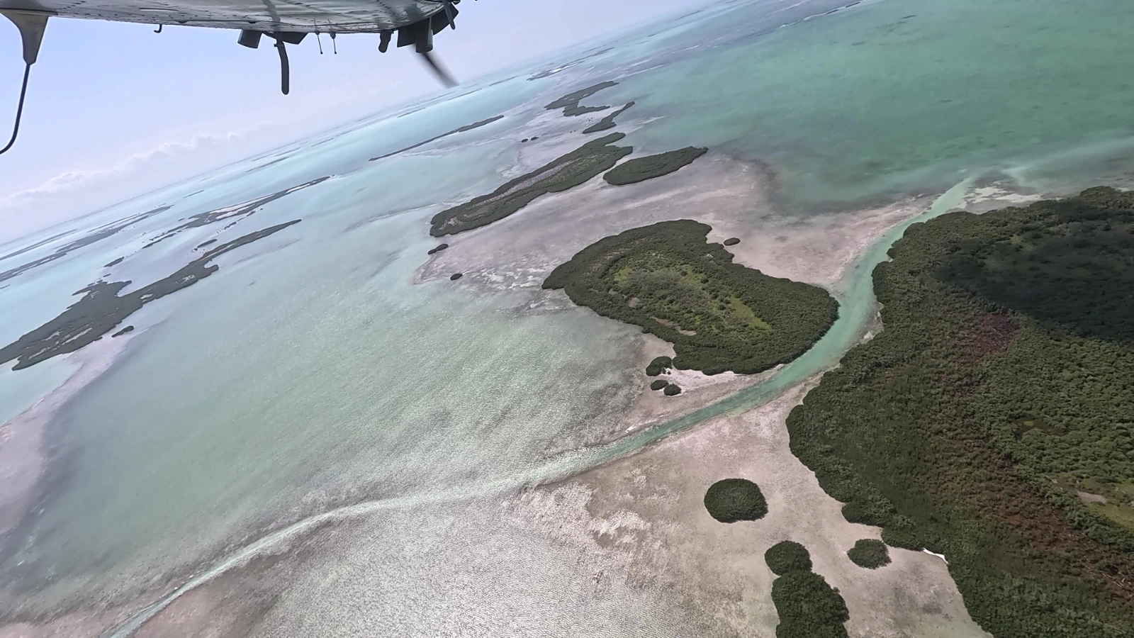
Eroding shorelines, shifting estuaries, mangroves retreating and recovering: the aerial perspective captures these dynamic edges in a way that reveals both the threat and the opportunity.
LightHawk flies to meet both. We document fragile coasts and protect the species that depend on them, from salmon runs in the North Pacific to marine wildlife along the Gulf. We help communities prepare for what’s coming: sea-level rise, stronger storms, a changing coastline.
Every flight is a chance to catch the threat early, and the opportunity with it.
From the Flight Log
Recent developments
Focus: Oceans
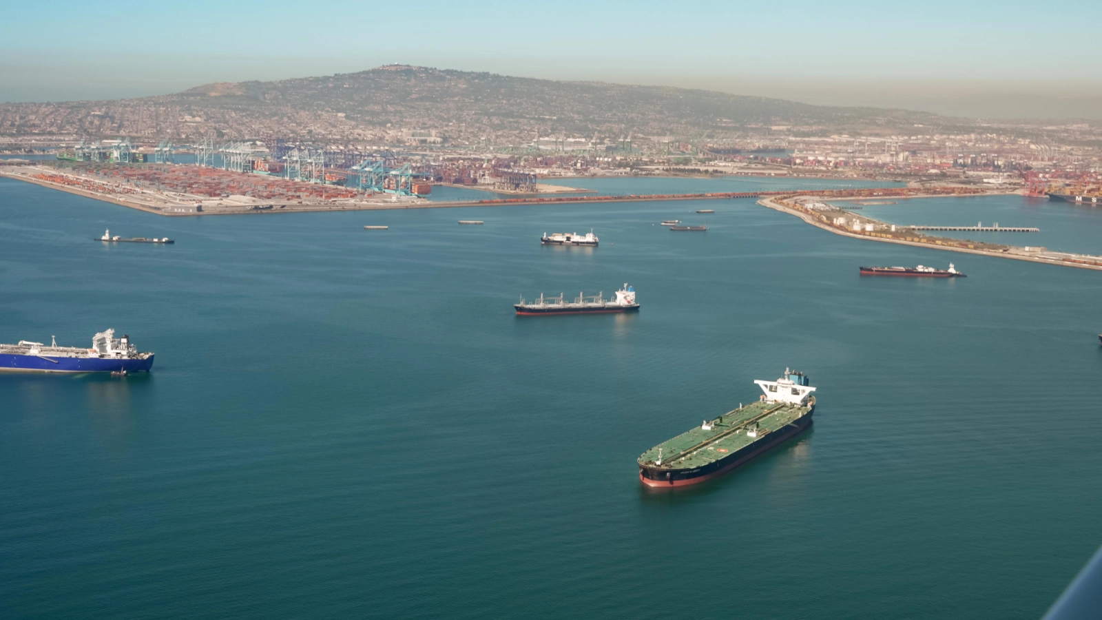
Pilot View: Documenting Port Pollution in Southern California
Along the coast of Southern California lies the Ports of Los Angeles and Long Beach, a maze of cargo ships,…
Featured Mission
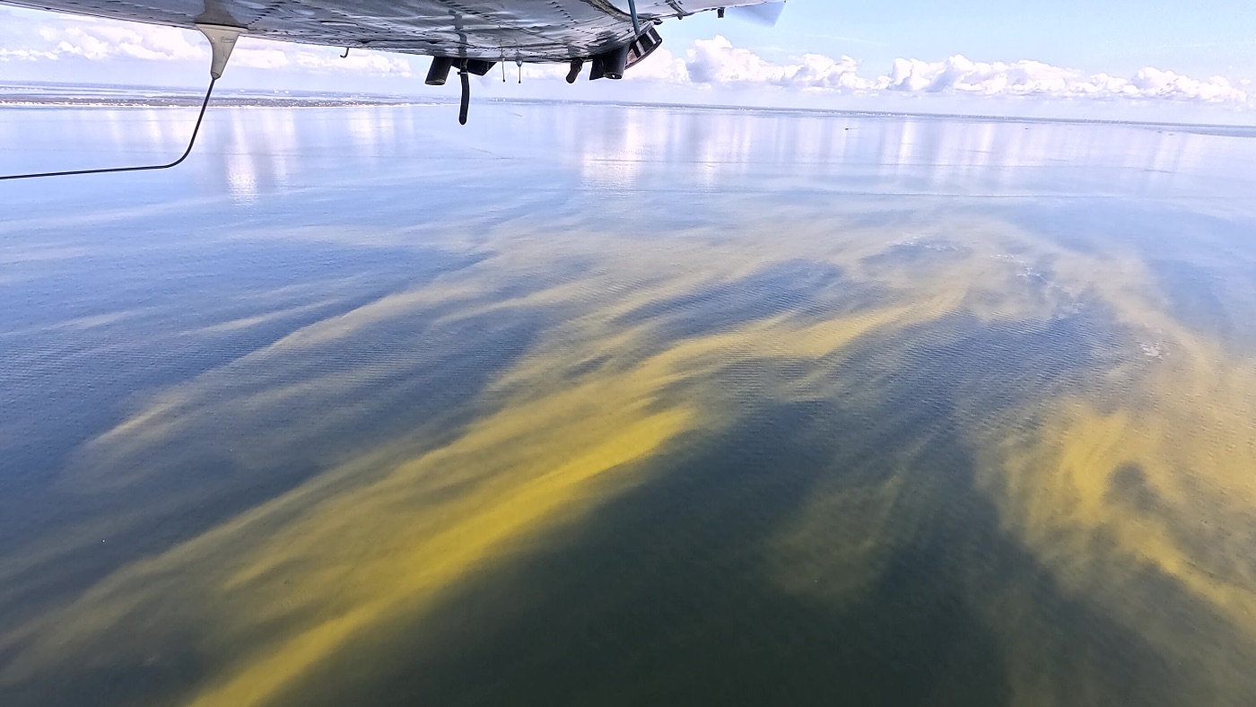
Studying Nutrient-Rich Runoff in Florida with Flight
When you think of Florida, you picture clear blue water stretching beyond sandy beaches. But from above, a different story…
Featured Mission
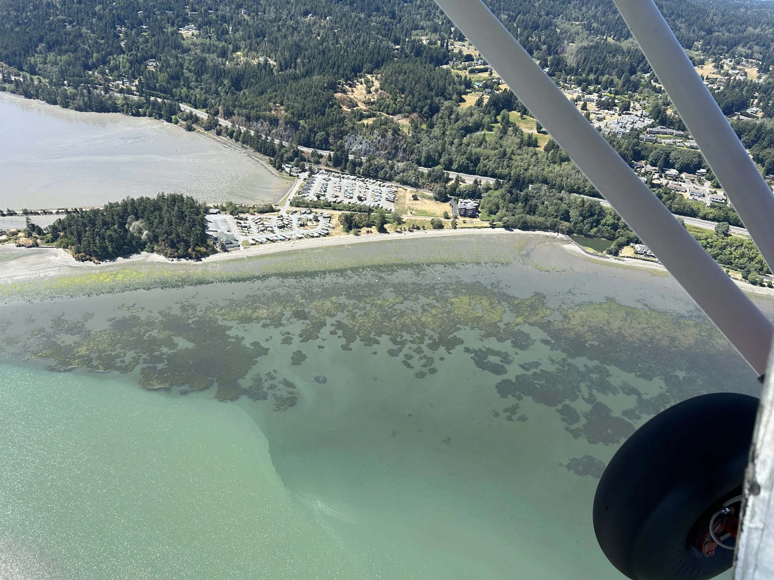
Protecting Bull Kelp in the San Juan Archipelago
LightHawk partnered with the Samish Indian Nation on a test flight to prepare for monthly aerial monitoring of bull kelp…
Keep Exploring
More priorities
From tide lines to tree lines, LightHawk’s work doesn’t stop at the coast.
 Priority
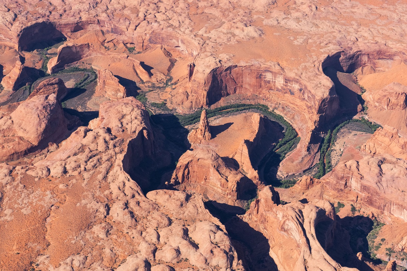
Landscapes
Using aviation to ensure a sustainable future for our planet’s most remarkable and ecologically important landscapes.
Explore Landscapes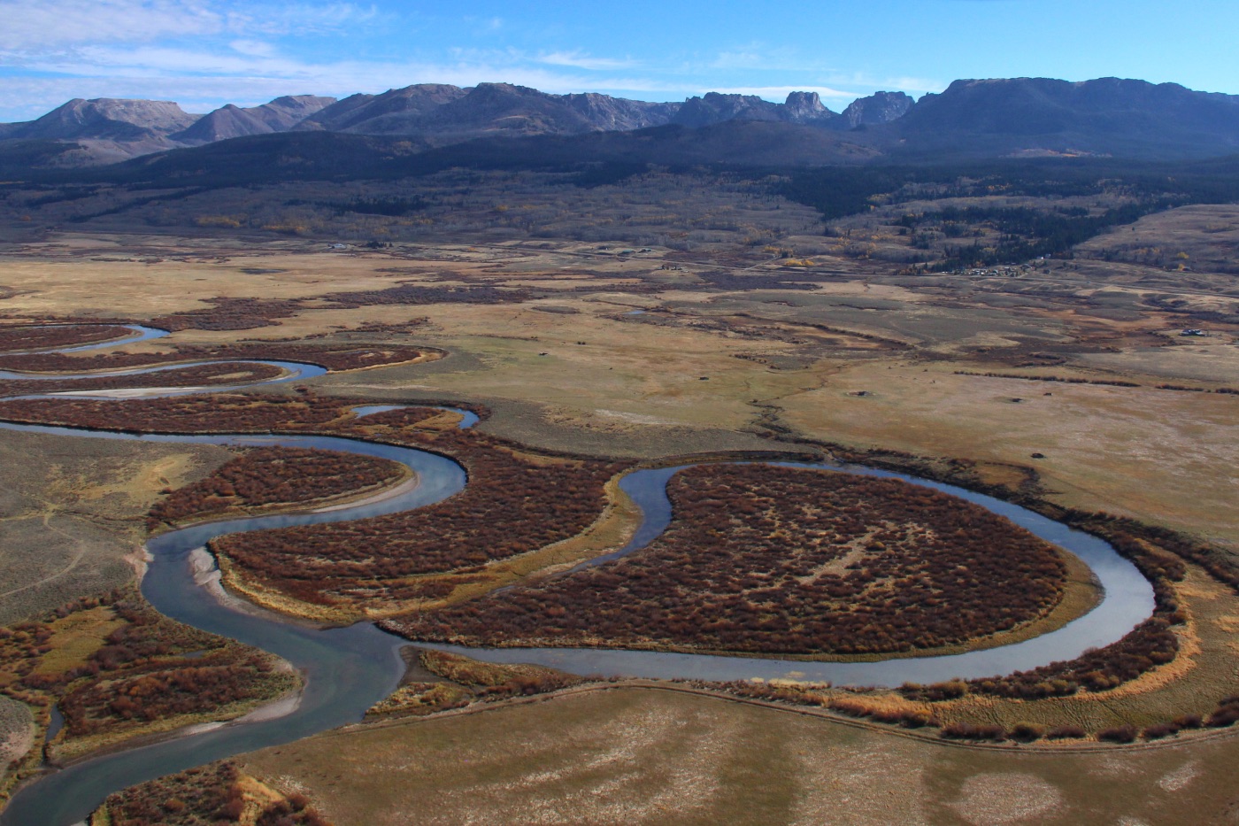 Priority
Watersheds
From water-quality monitoring to habitat restoration, safeguarding the rivers and wetlands that keep ecosystems alive.
Explore Watersheds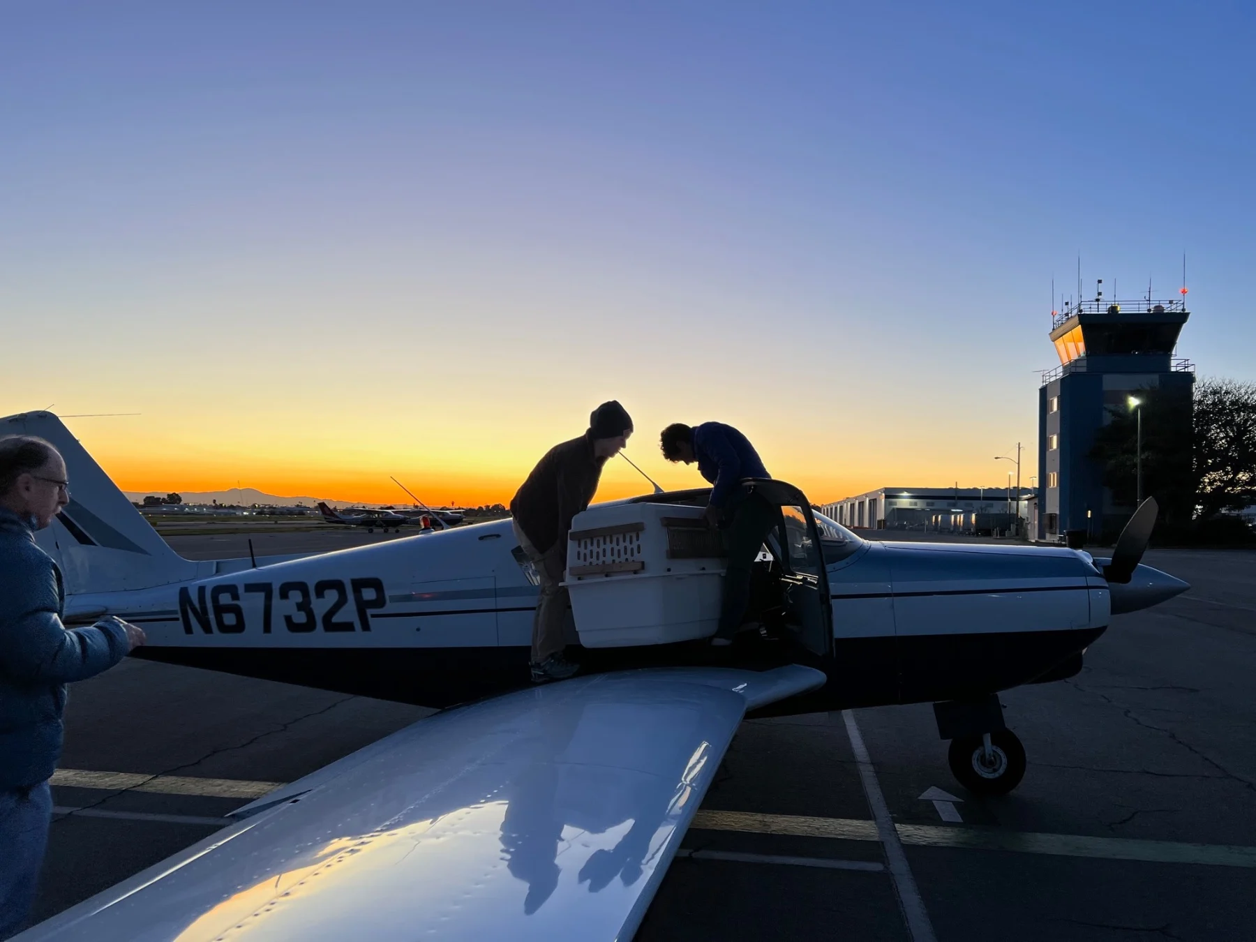 Priority
Wildlife
A lifeline for endangered species — from safe wildlife transport to aerial tracking and habitat connectivity.
Explore WildlifePut the aerial perspective to work.
If your organization works on coastlines conservation, a LightHawk flight is available at no direct cost to qualifying partners.