
Climate
Impact seen at scale
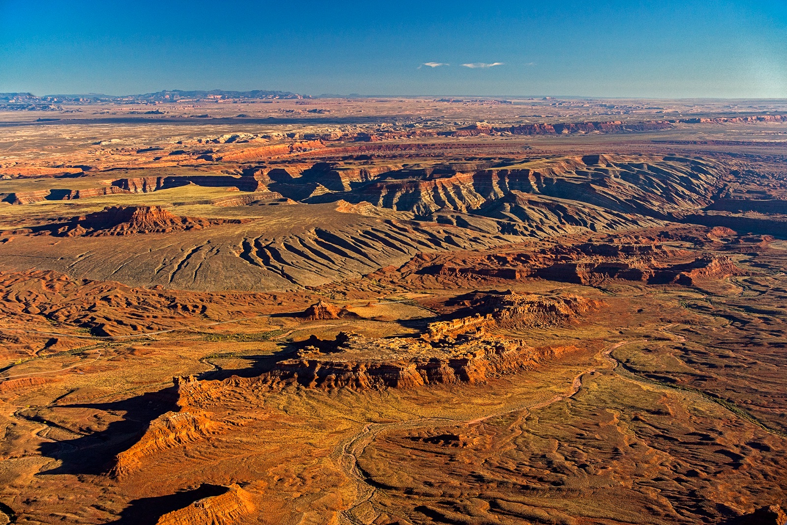
From retreating glaciers to returning wetlands, LightHawk documents climate impacts and how communities are building resilience in response.
The Focus
Climate change is a story of scale
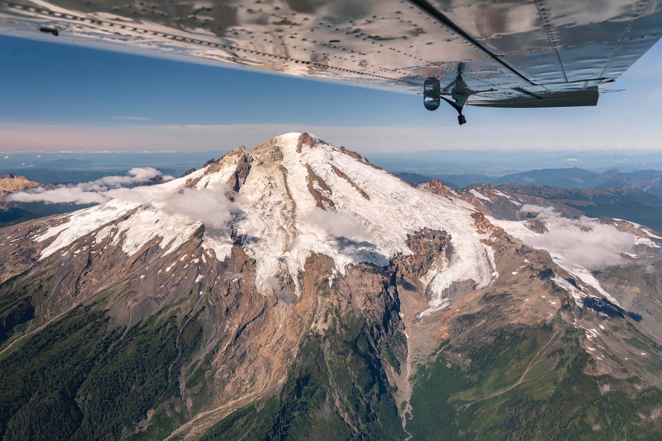
Scale is exactly what the aerial perspective delivers. Shrinking reservoirs, retreating glaciers, drought-stressed forests, and advancing wildfire risk: LightHawk turns abstract trends into evidence no one can dismiss.
We fly with researchers documenting change, journalists telling the story, and communities planning for resilience against what’s coming — because the window to act is limited, and seeing clearly is the first step to action.
From the Flight Log
Recent developments
Media
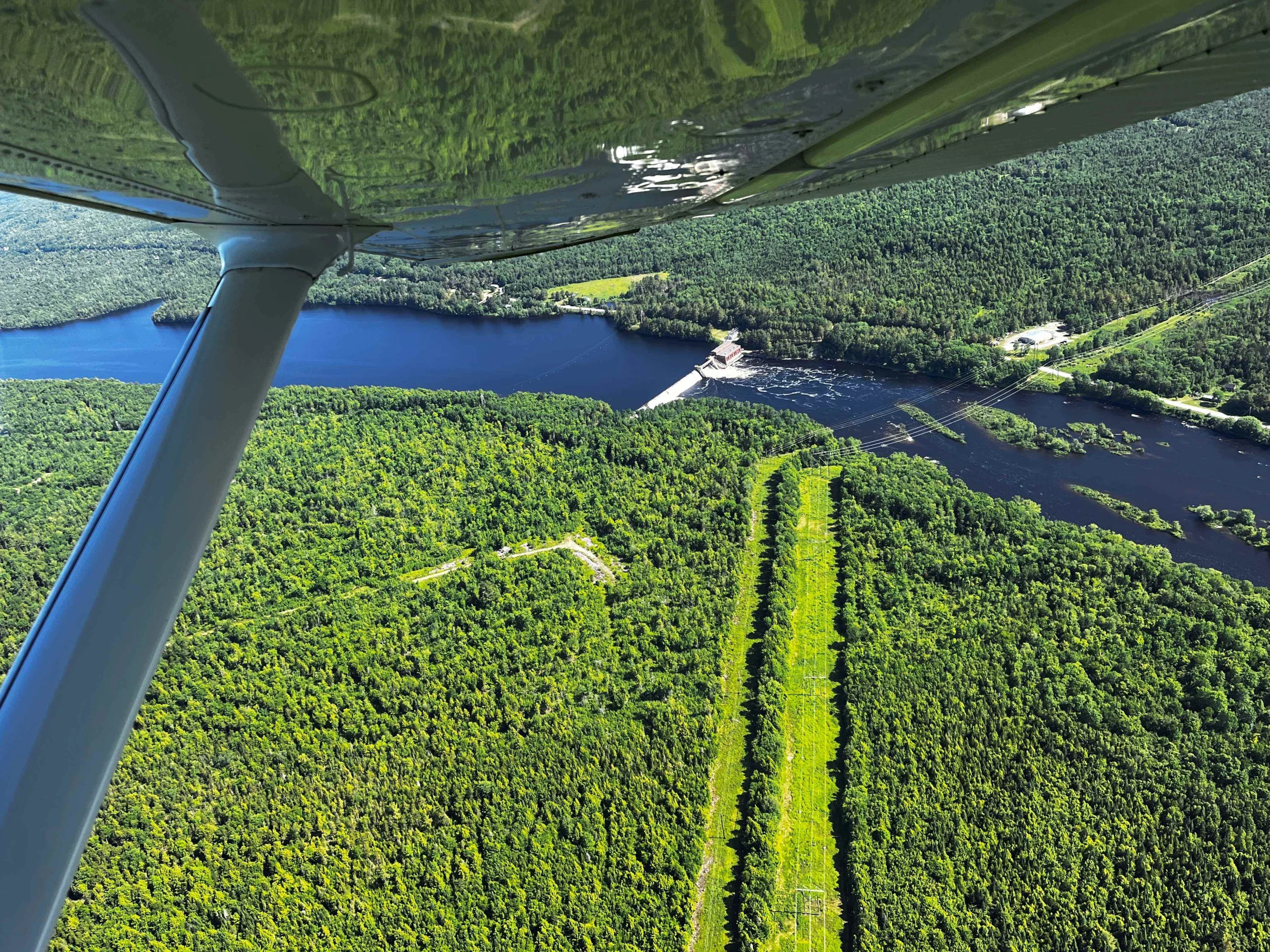
LightHawk Announces 2026 Volunteer Pilot Award Honorees
LightHawk has announced its 2026 Volunteer Pilot Award honorees, recognizing five volunteers whose dedication and generosity help put conservation missions…
Focus: Climate
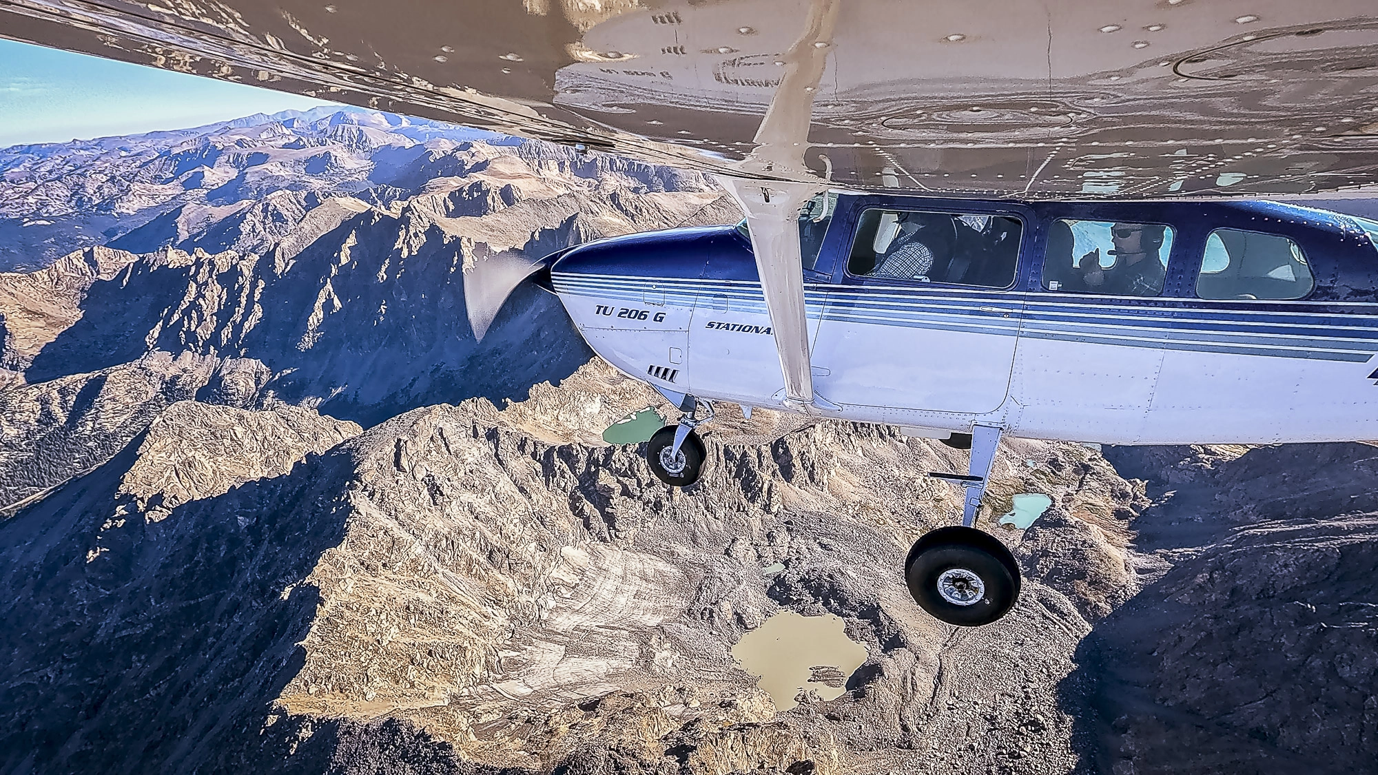
Pilot’s View: Above Colorado’s Changing Glaciers
Following a year of record-low snowfall, Colorado State University researchers are documenting how the state’s glaciers are changing. To capture…
Flown with Colorado State University
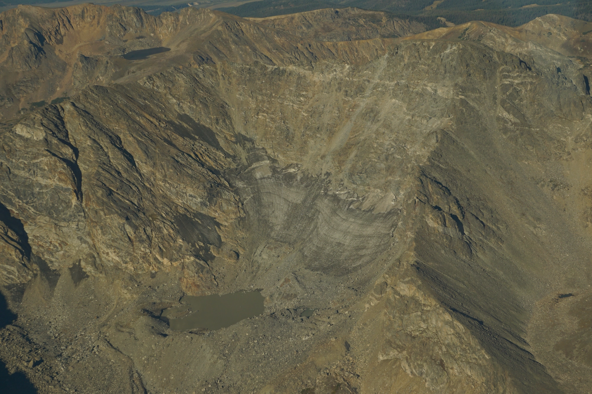
Featured Mission
Twelve Glaciers. Two and a Half Hours.
Colorado’s glaciers and perennial snowfields are shrinking. Documenting those changes means reaching remote mountain sites and gathering photographs from many…
Flown with Colorado State University
Keep Exploring
More priorities
Climate is one piece. LightHawk drives conservation forward across many fronts.
 Priority
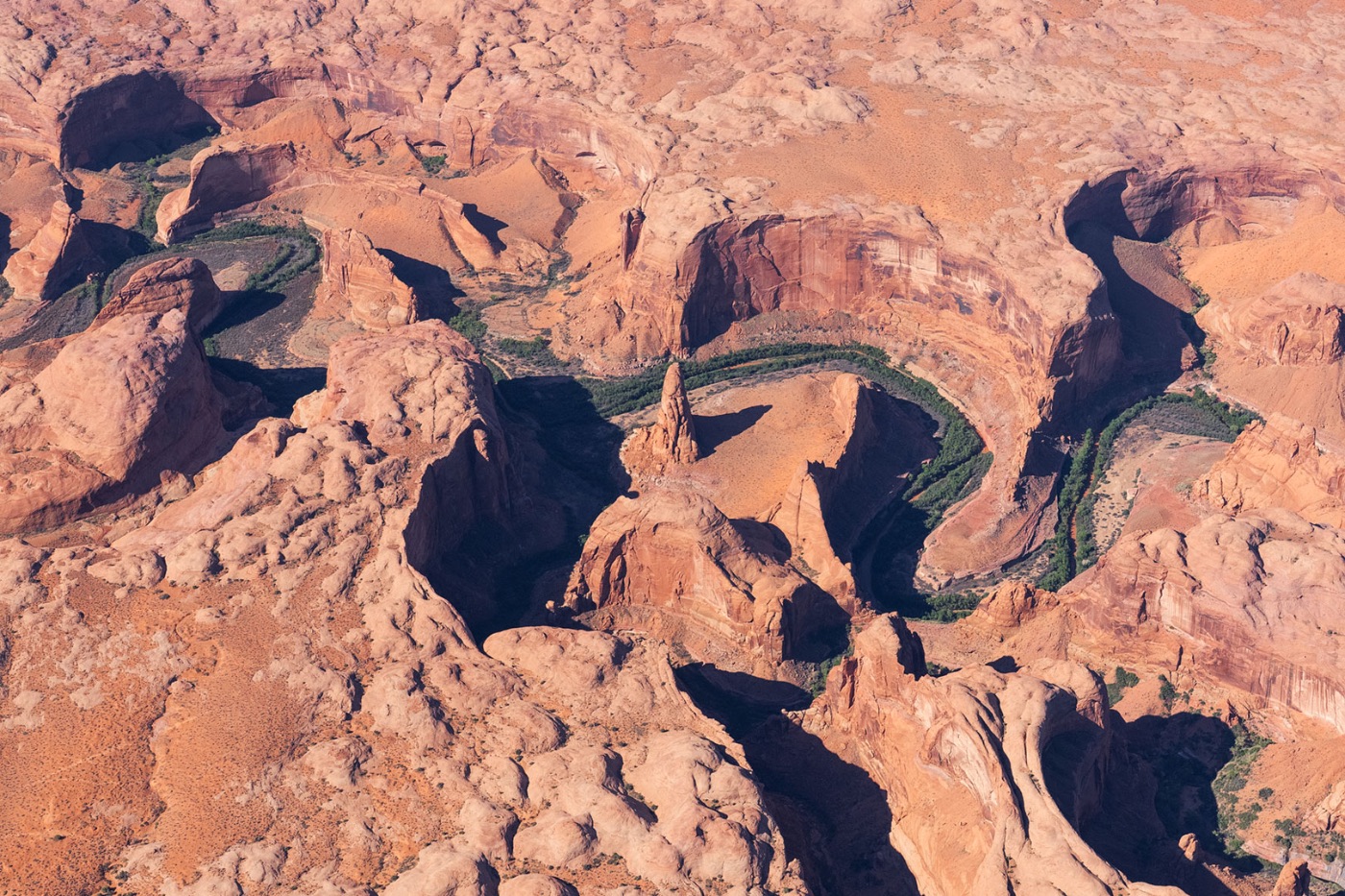
Landscapes
Using aviation to ensure a sustainable future for our planet’s most remarkable and ecologically important landscapes.
Explore Landscapes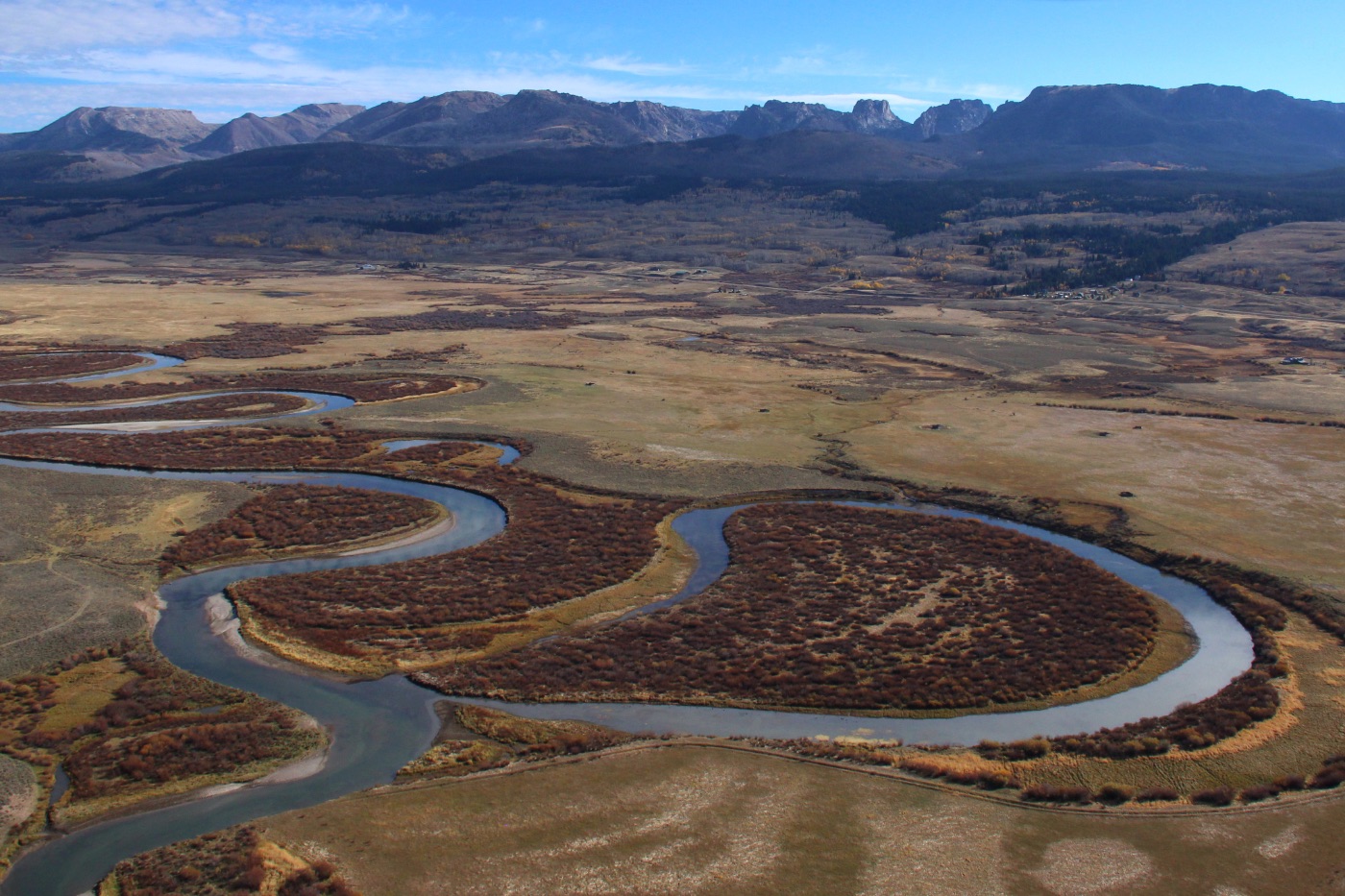 Priority
Watersheds
From water-quality monitoring to habitat restoration, safeguarding the rivers and wetlands that keep ecosystems alive.
Explore Watersheds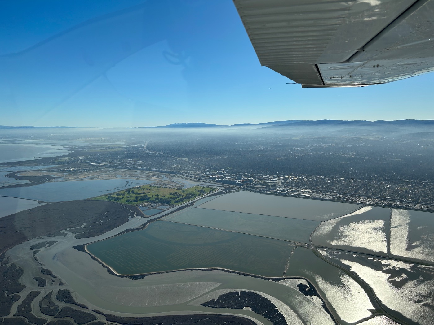 Priority
Coastlines
Taking flight to protect oceans, coastlines, and the rich biodiversity that coastal communities depend on.
Explore Coastlines
Put the aerial perspective to work.
If your organization works on climate conservation, a LightHawk flight is available at no direct cost to qualifying partners.