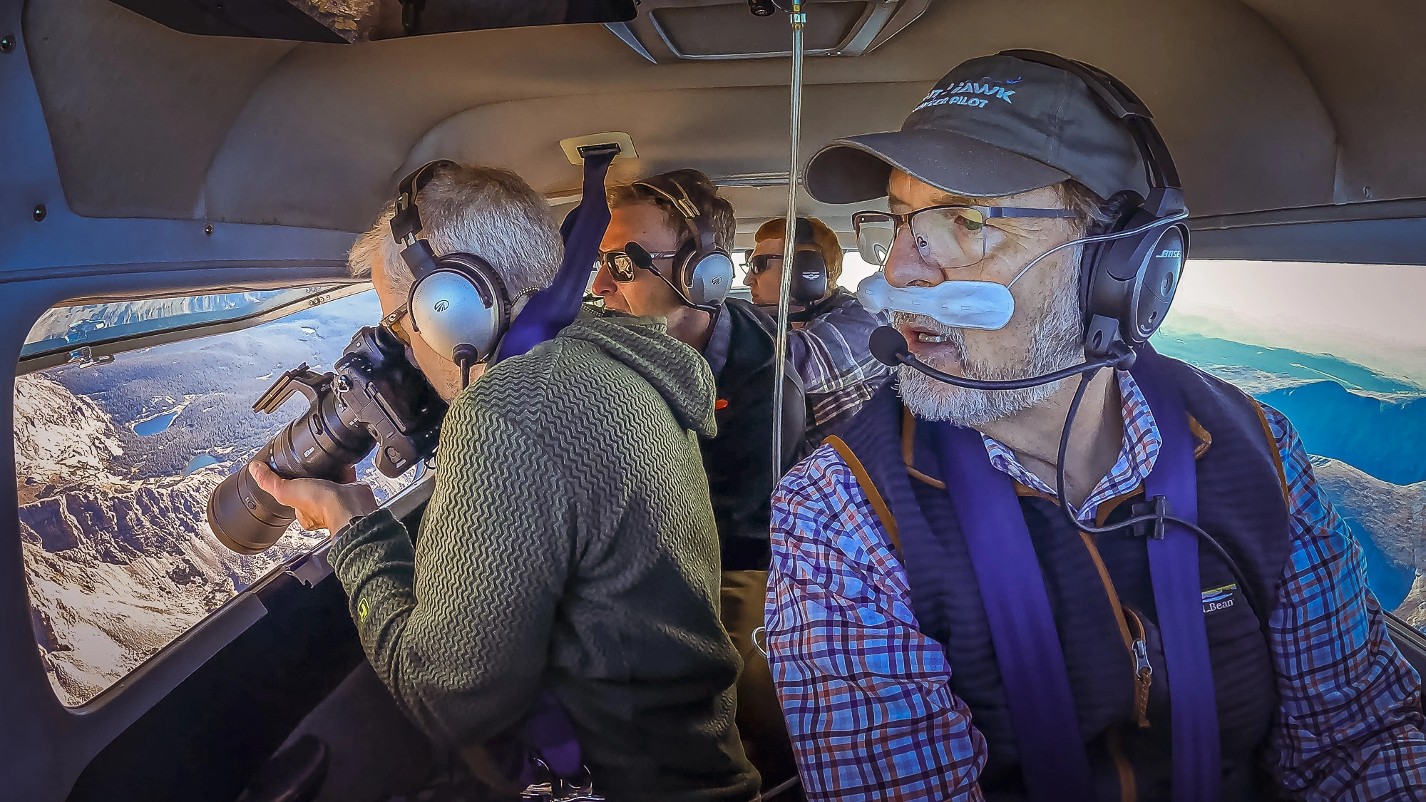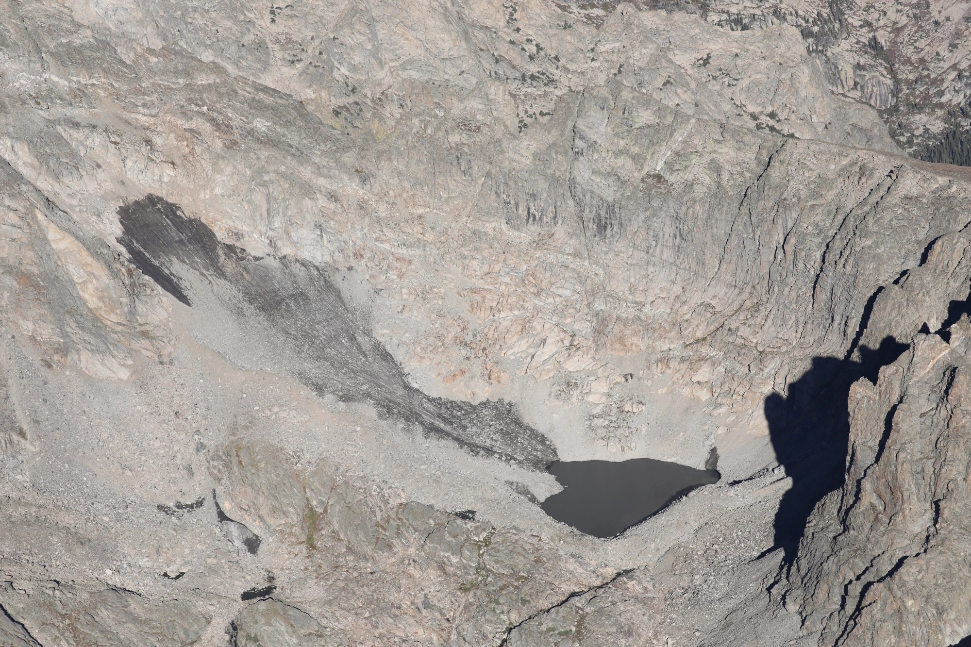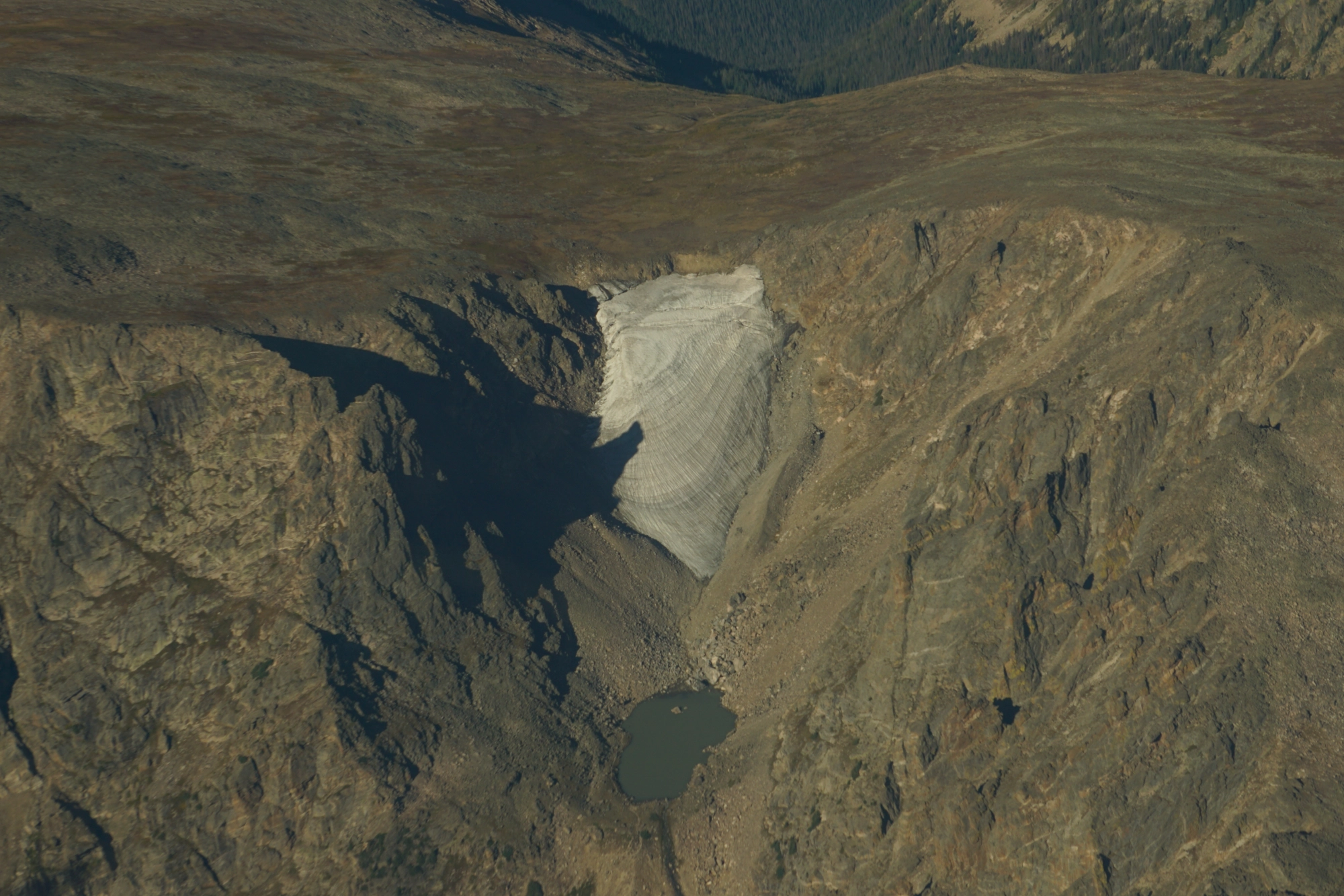
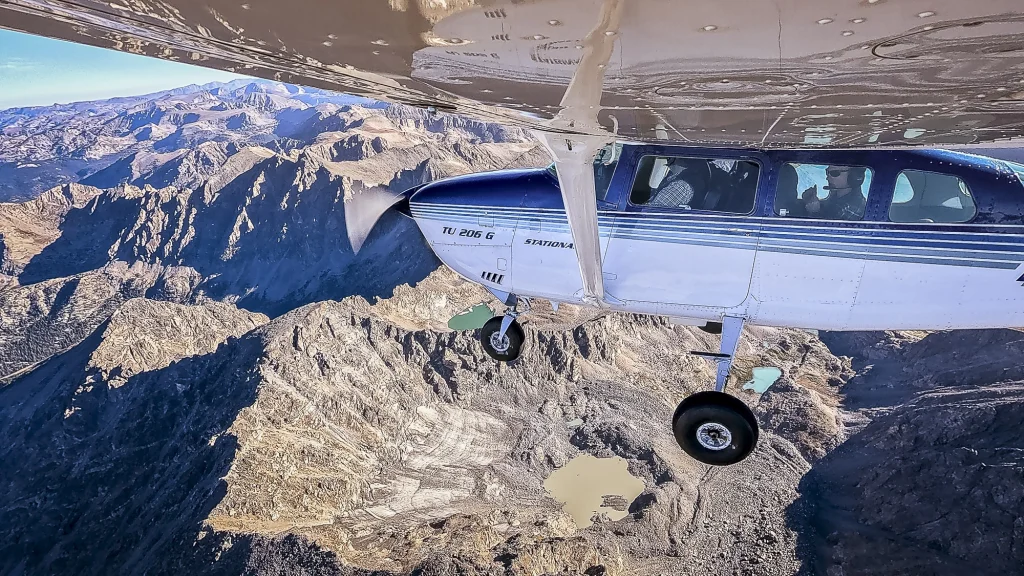
Following a year of record-low snowfall, Colorado State University researchers are documenting how the state’s glaciers are changing. To capture the images they need, they returned to the air with LightHawk volunteer pilot Evan Anderman.
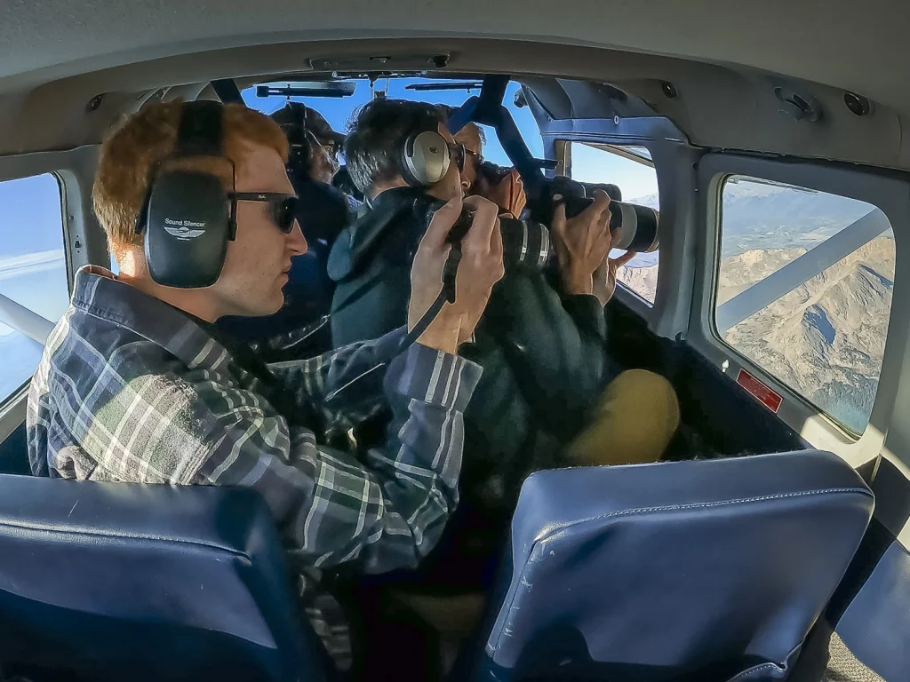
The researchers combine photographs taken from multiple angles to create detailed models of each glacier’s surface. Before they began flying with LightHawk last year, collecting those images meant hiking to the glaciers and around the surrounding mountains for different views. From the air, they can gather the images more efficiently and reach places that are difficult to access on foot.
Evan, who also serves on LightHawk’s Board of Directors, volunteered again for this year’s flights. “I did the first flight last year with them, and it seemed like a good fit with my airplane. There were a couple of researchers, and they wanted to fly over the Continental Divide. With the turbo in my airplane, I thought it would be a good mission to take on. Plus, I have a background in geology. I wanted to see what they’re looking at.”
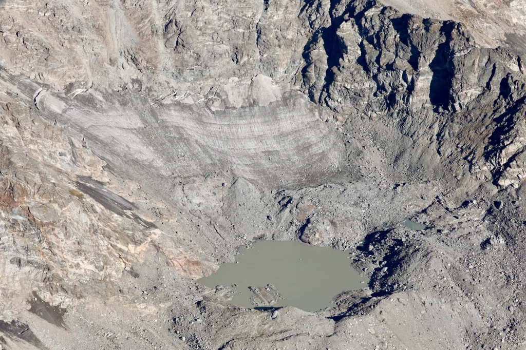
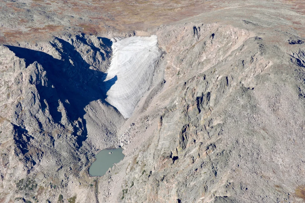
For Evan, the flights have been a chance to see the CSU team test a new way to document glaciers. “I’ve learned tons about it the whole way. It was so cool because they were trying to prove this new method would work,” he said. “I think it’s great that we could step in and give them the platform to get these pictures efficiently.”
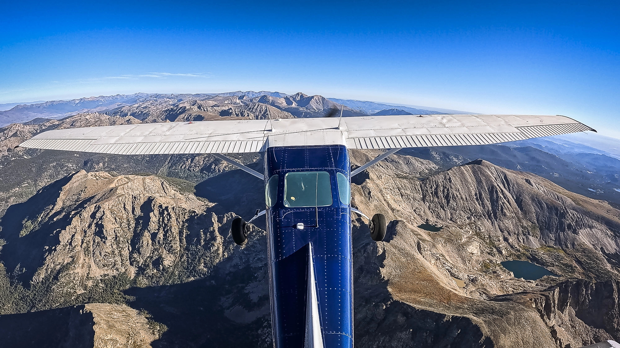
Flying near the Continental Divide required careful planning to navigate the terrain safely. Before departure, Evan worked with the researchers to identify their photography sites and the altitudes needed to stay clear of the rocks. On both years’ flights, winds from the west at about 30 knots brought turbulence beginning roughly five miles before the Divide. “Last year they were kind of nervous about that,” he recalled of the researchers. Once over the Divide, Evan focused on staying crabbed into the wind and “trying to anticipate how it was pushing the airplane to the east.”
To photograph glaciers near the peaks, the team flew at 14,000 to 15,000 feet using supplemental oxygen. Even then, they were only 1,500 to 2,000 feet above ground level. Evan was watching for updrafts and downdrafts and had considered where he could turn if needed. “It’s pretty low, but I knew it was a constant wind. We weren’t getting a lot of updrafts or downdrafts, and if there was an issue, you just turn away and go downhill.”
The climb from Colorado’s Front Range gave Evan and the researchers time to talk. Once they reached the glaciers, the researchers photographed through the open window on the right side of the airplane, while Evan circled to give them the view they needed. “I couldn’t always see the glacier because the cabin was in the way,” he said. He relied on the researchers to guide each pass. “I would just listen to what they were saying,” he explained. He adjusted his distance and bank angle so they could photograph nearly straight down, making multiple passes as they refined the view they needed.
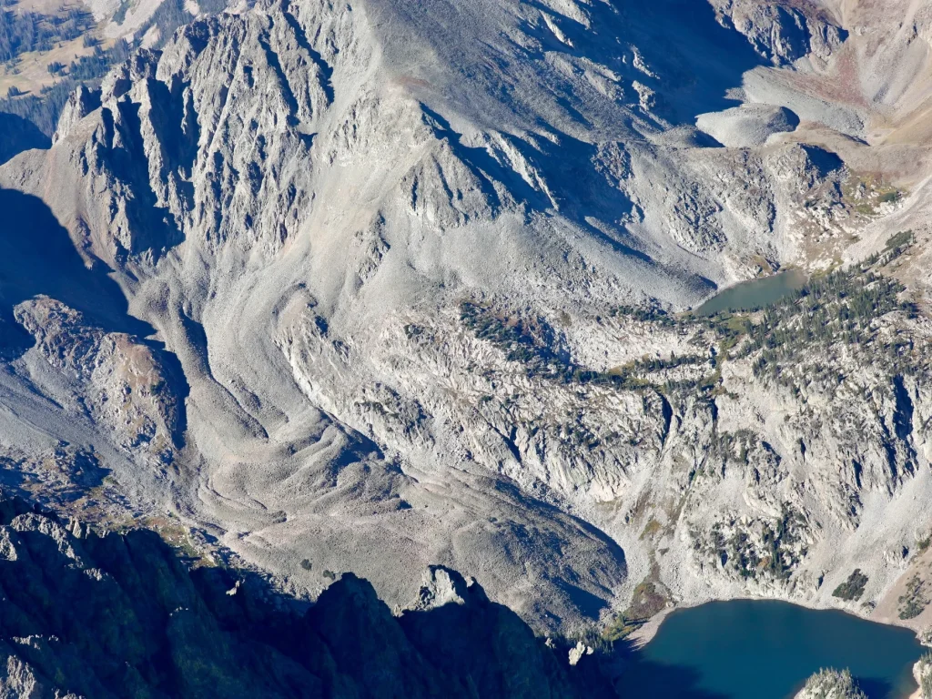
This year, the team also expanded the route to St. Mary’s Glacier. When they reached it, the snowfield had melted completely for the first time on record.
After the flight, Evan reflected on the satisfaction of flying with the CSU team and the larger questions their work raises. “I had a great time. It’s always good to be able to do what the partner needs done,” he said. “It’s interesting to think, what’s the problem to society of the glaciers disappearing?” He thought about their beauty, the people who ski them, and “how the climate’s changing and how quickly it’s changing in the last 10 years or so.”
Asked what flying for LightHawk means to him, Evan said, “It’s a great way to use your skill as a pilot and your airplane to do good things, hopefully for the environment and for all of us. It can be challenging, too, which is good.”
Since joining LightHawk in 2023, Evan has completed 25 flights and serves on the Aviation Committee. Thank you, Evan, for bringing your skill and curiosity to this mission and so many others.