
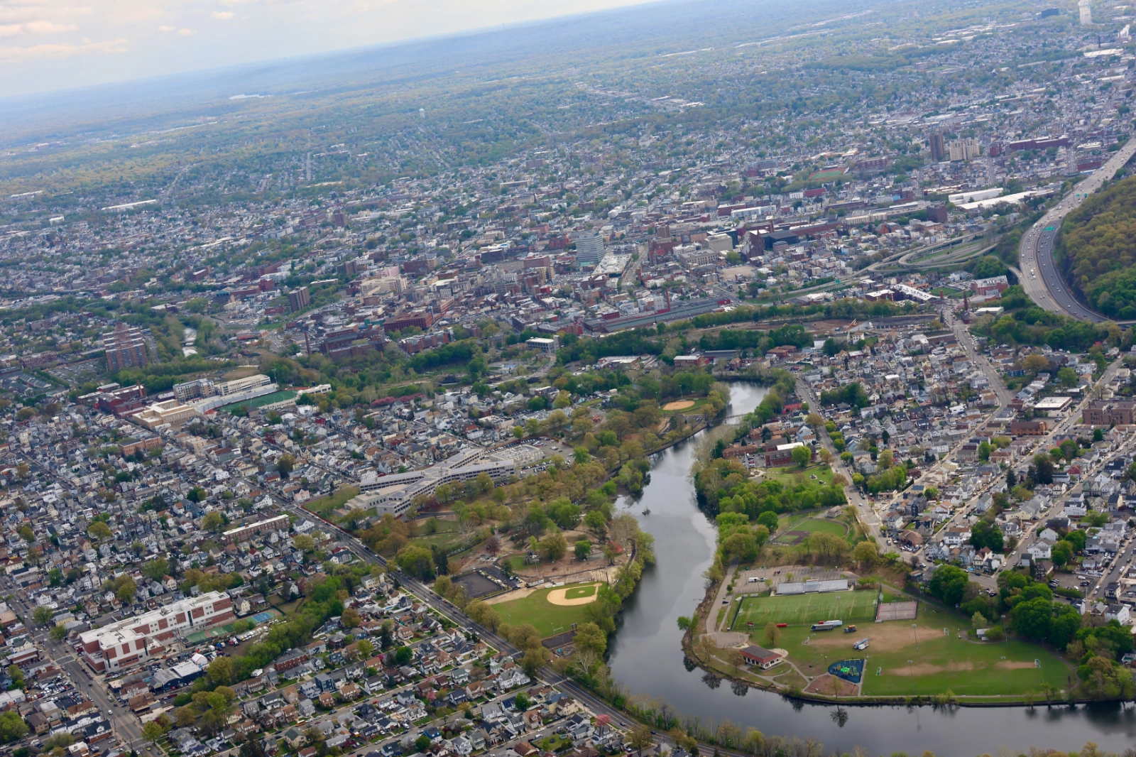
Flying over northern New Jersey isn’t easy. The airspace is complex, but that’s exactly where LightHawk volunteer pilot Mike McNamara flew with The Nature Conservancy (TNC) in New Jersey, following the Passaic River through one of the most densely populated regions in the country.
New Jersey may be the fourth smallest state in the nation, but it carries a lot. Nearly 94% of its communities are considered urban, shaping how conservation happens here. For TNC, that means working in cities, where natural systems exist alongside infrastructure, development, and the people who depend on them.
From above, the team followed the river through Paterson and across the lower watershed, identifying stretches that are difficult or impossible to access and seeing how the landscape fits together. The imagery will help identify opportunities to create open space and implement nature-based solutions along the Passaic River in Paterson to strengthen community resilience, while informing efforts across the broader watershed.
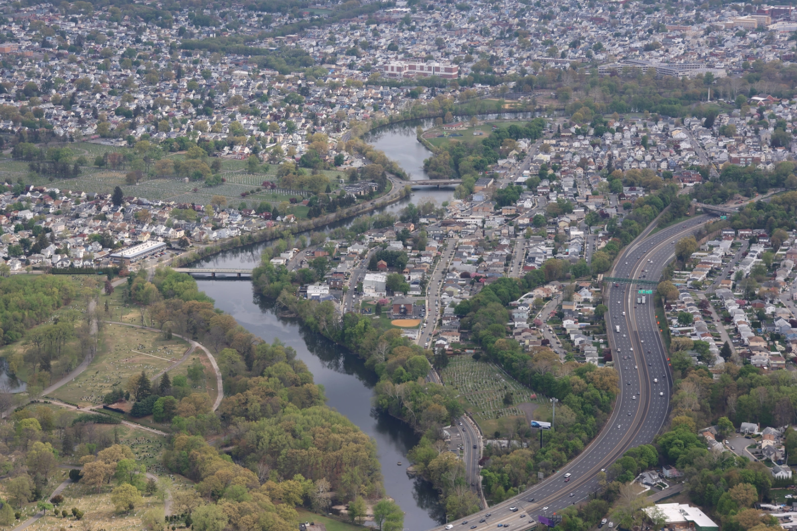
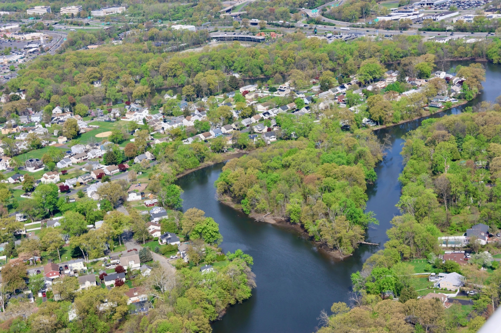
Paterson sits along the Passaic River. The river is one of the city’s greatest assets and one of its biggest challenges.
As of 2021, 11% of Paterson’s urban land sits within a flood hazard area. The city also faces multiple combined sewer overflows, which discharge untreated water during heavy rain or snowmelt. When flooding and sewer backups overlap, the impacts can be immediate, affecting both public health and the surrounding environment.
TNC staff member Johnny Quispe joined the flight, helping document conditions along the river that will guide restoration planning and future investment.
“The photos and footage will help identify restoration opportunities along the Passaic River and places where open space can be created,” Quispe shared. “Many stretches aren’t visible from the ground, making this perspective critical to the work ahead.”
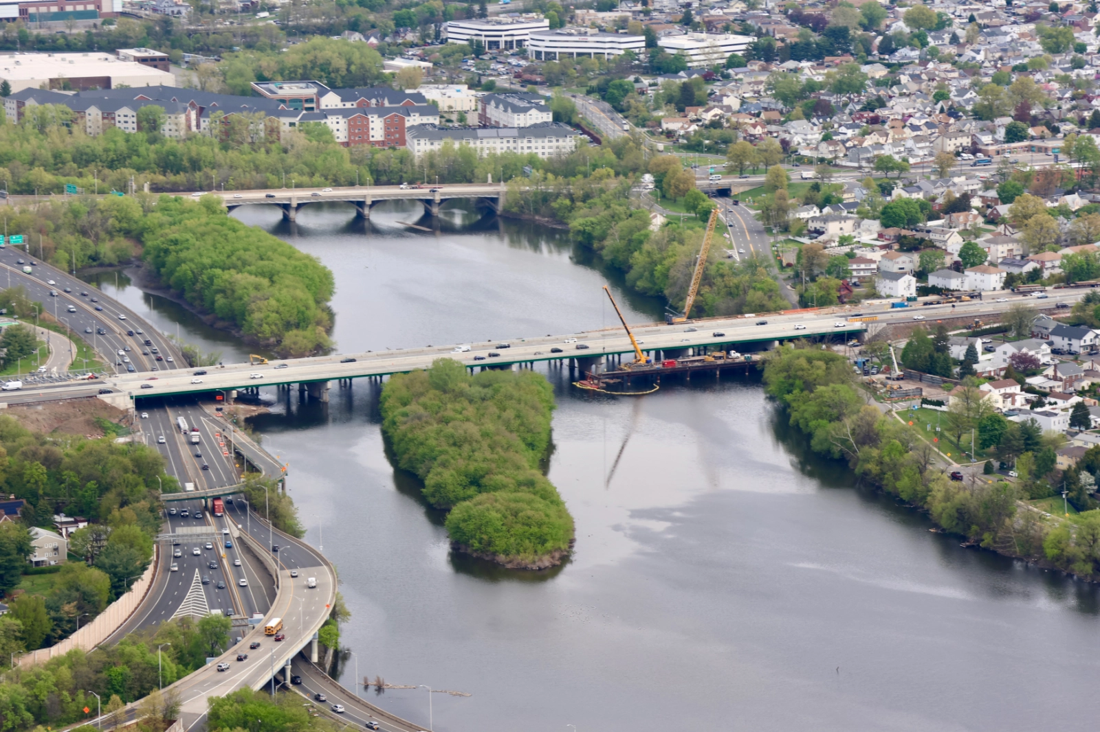
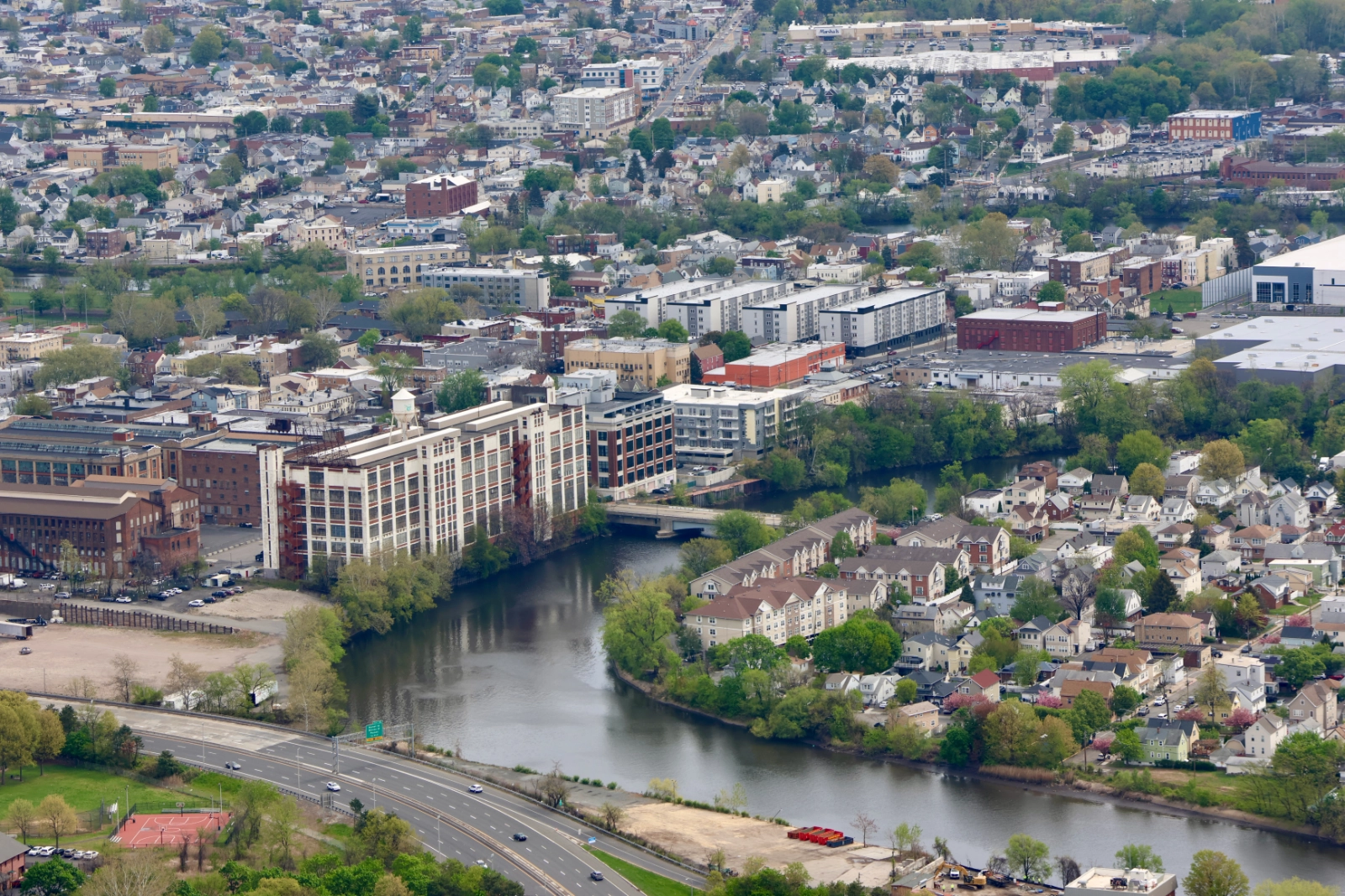
TNC is working with Paterson decision-makers and stakeholders to increase natural features in the city, from tree canopy expansion to floodplain restoration and improved stormwater infrastructure. The imagery captured during the flight will help identify where those efforts can have the greatest impact and support work to reconnect communities to the river.
With this data in hand, TNC can better plan and prioritize investments that strengthen climate resilience, reduce urban heat, and expand access to nature. It’s a clearer path forward, made possible by the perspective gained in flight.
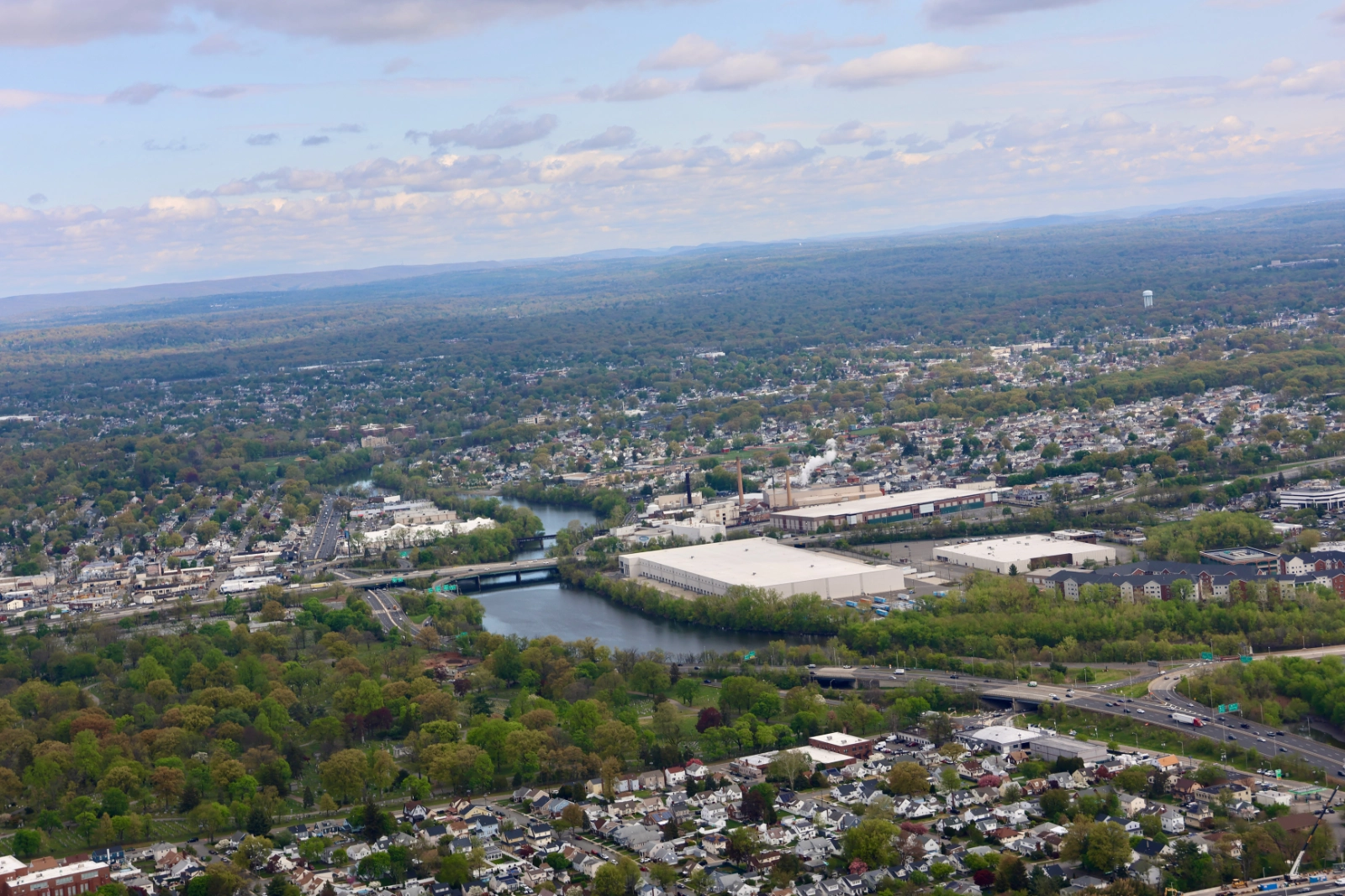
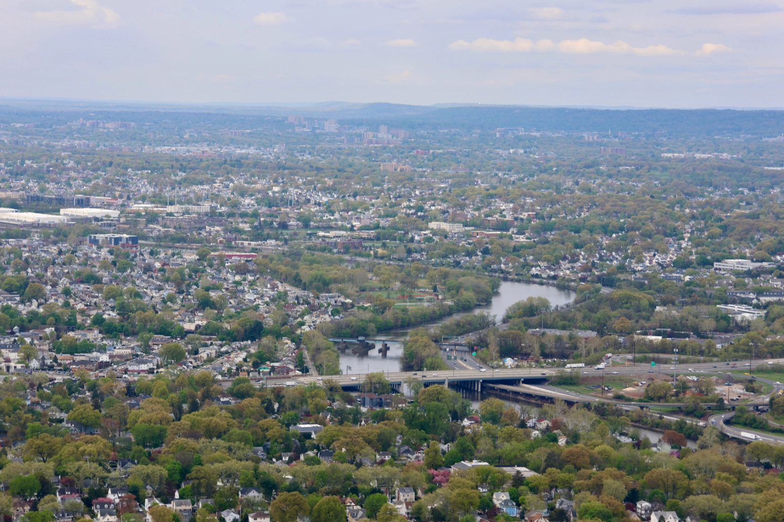
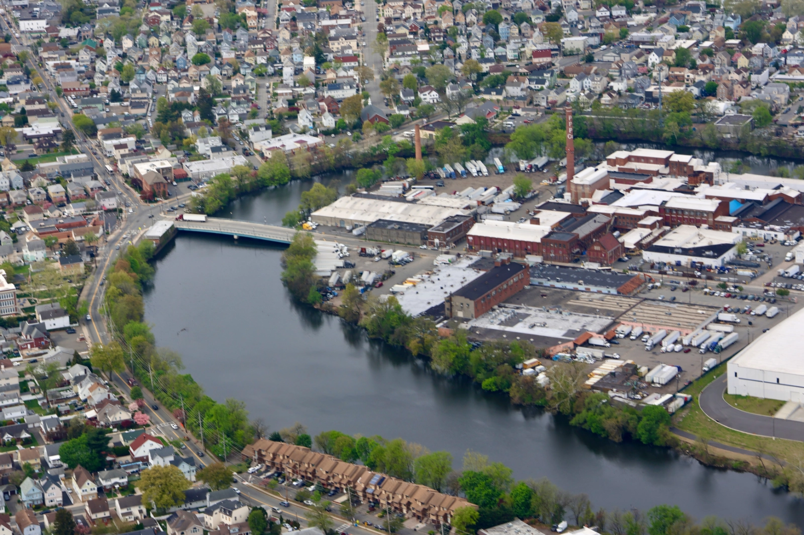
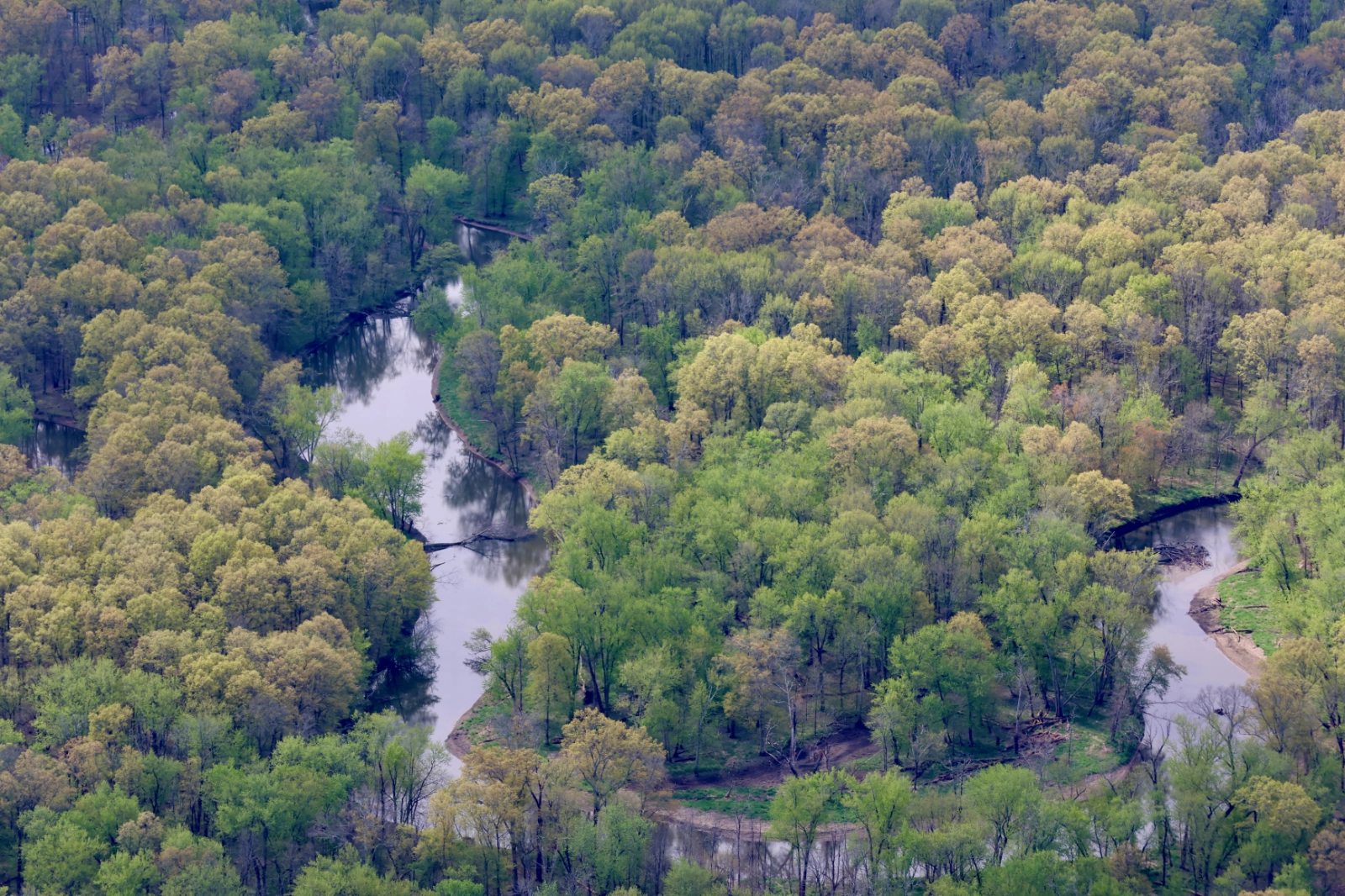
Photos: Johnny Quispe | Pilot: Mike McNamara