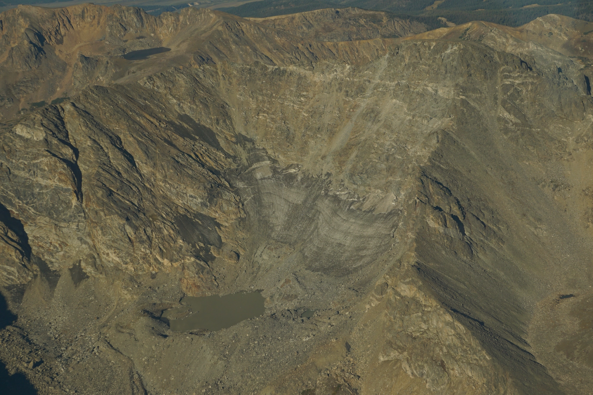
Colorado’s glaciers and perennial snowfields are shrinking. Documenting those changes means reaching remote mountain sites and gathering photographs from many angles, work that once required long hikes across difficult terrain. LightHawk and Colorado State University researchers are using flight to cover that ground more efficiently and test a new approach to measuring the changing ice.
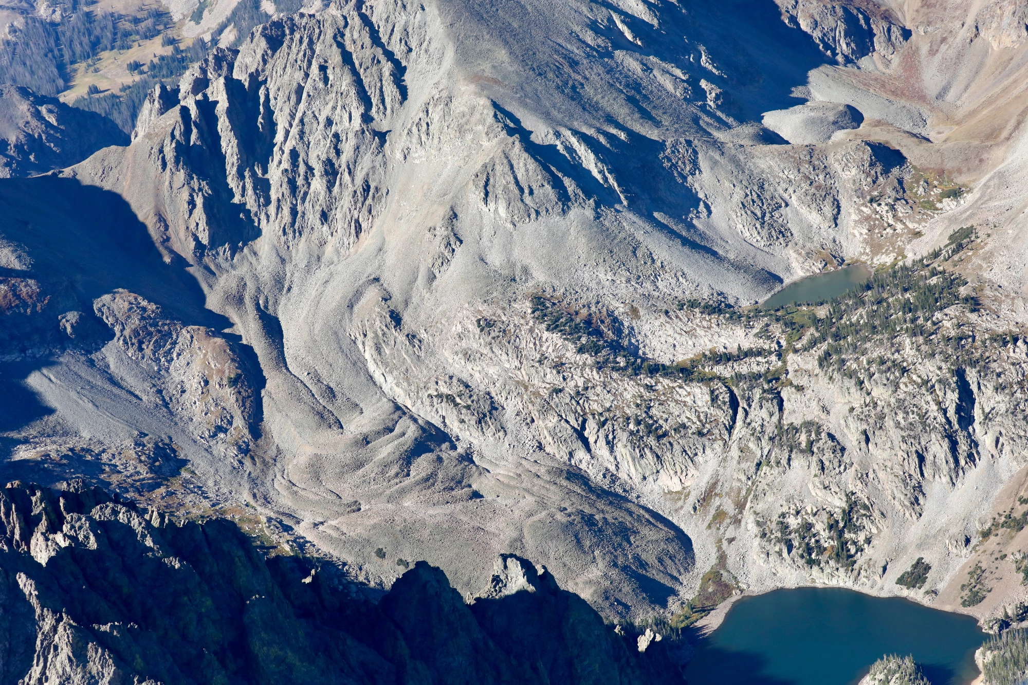
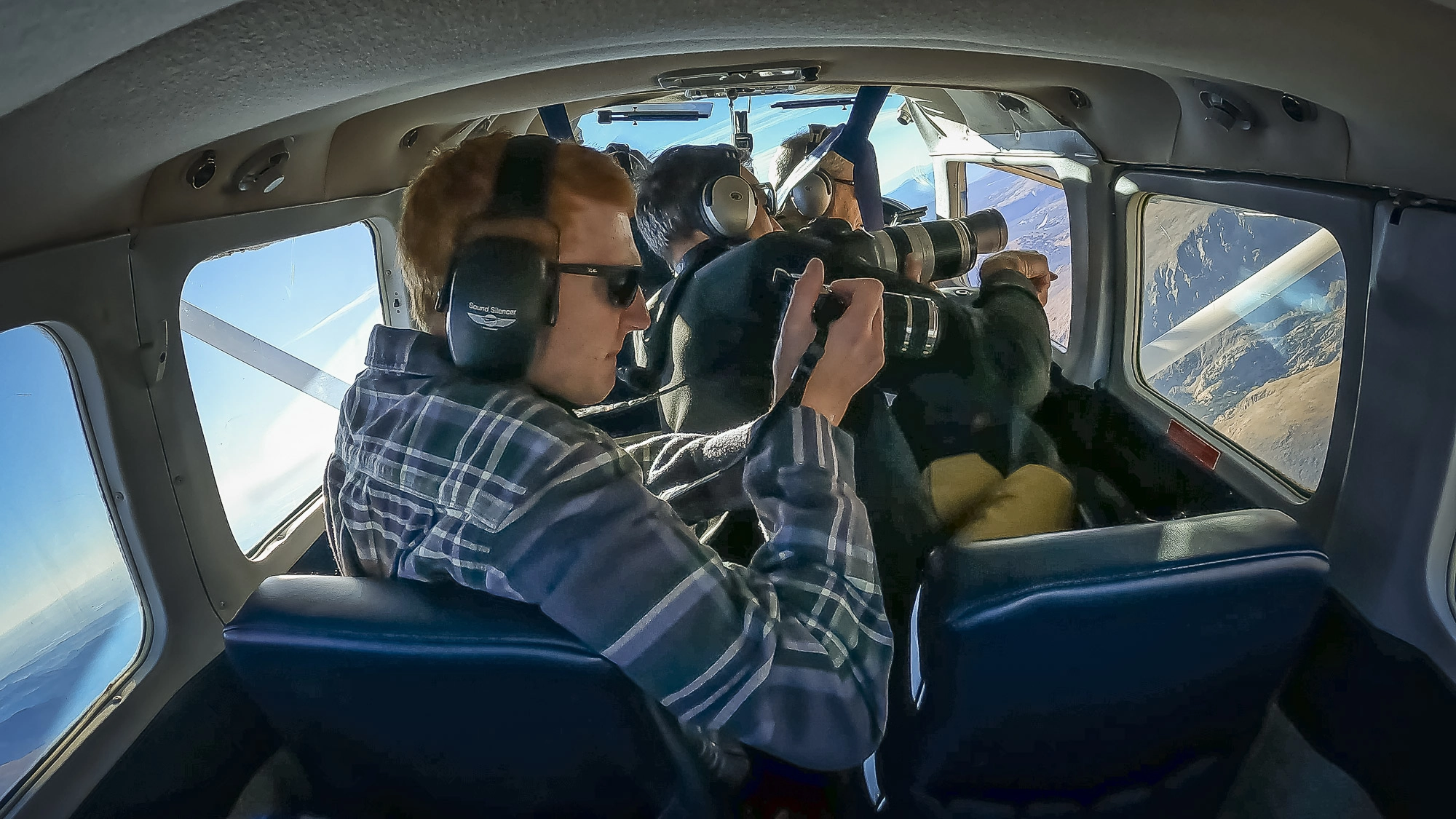
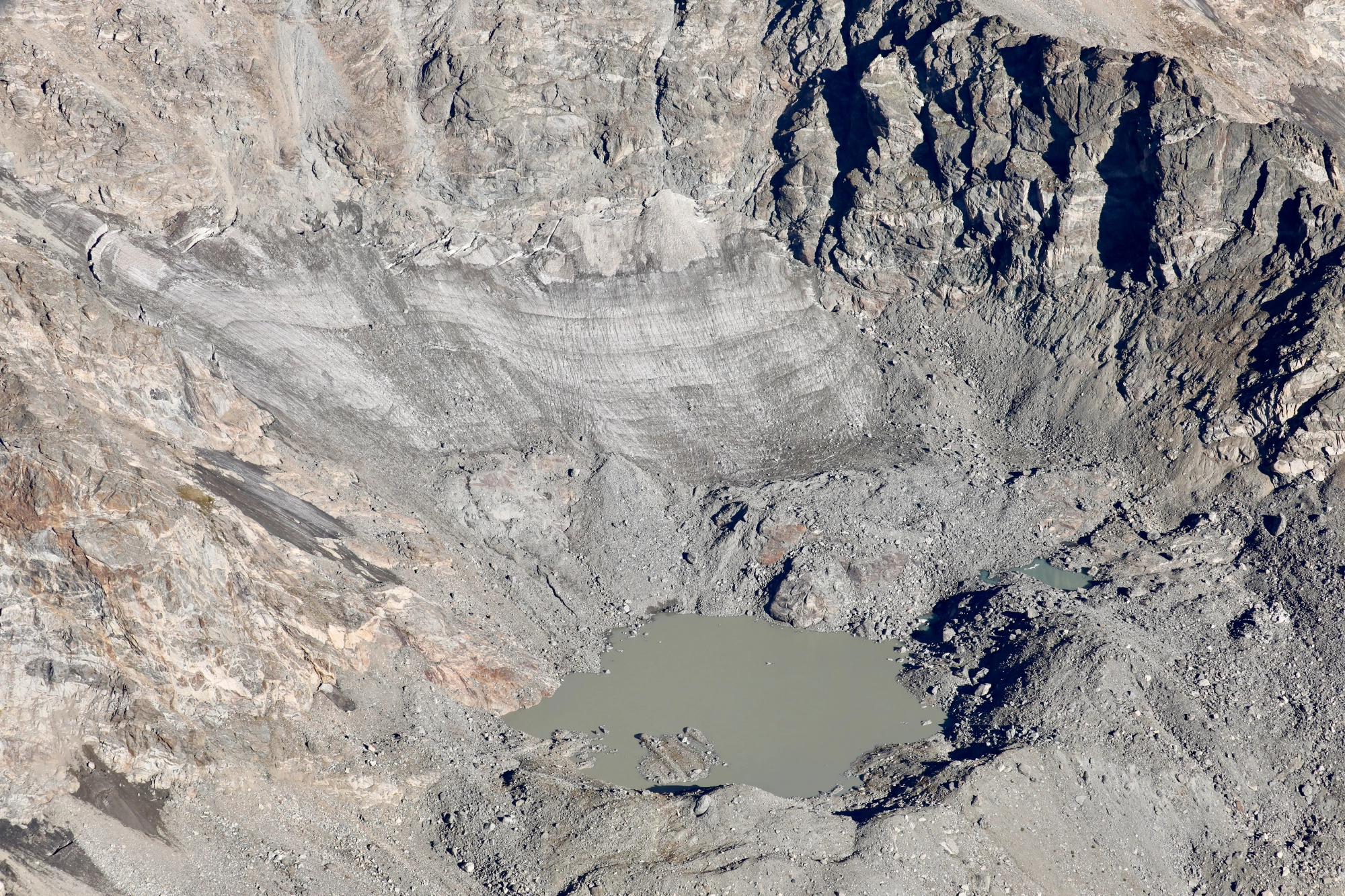
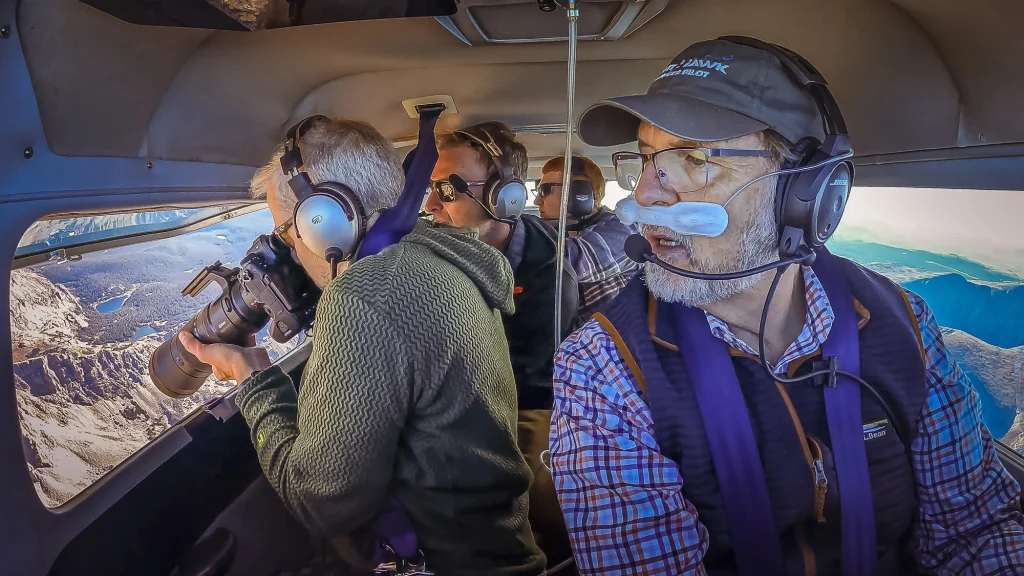
The CSU team combines photographs into detailed models of each glacier’s surface, allowing researchers to measure changes over time. Working with LightHawk, they are testing whether images taken from an airplane can provide the data they previously collected on foot.
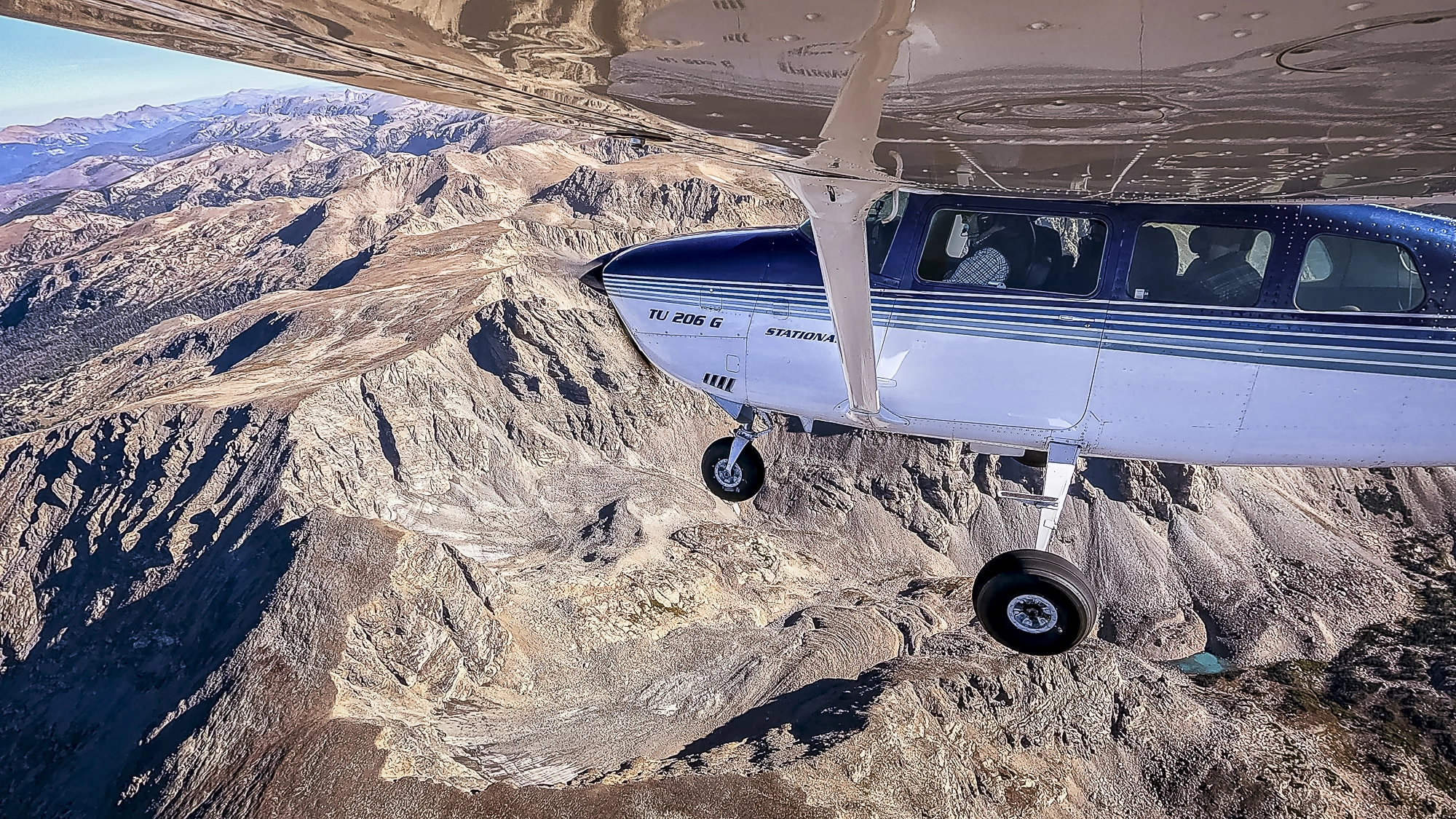
The collaboration began with an exploratory flight last year to test the aerial approach. This year, LightHawk volunteer pilot Evan Anderman returned with the CSU team to photograph 12 glaciers along Colorado’s Front Range, across Rocky Mountain National Park and the Indian Peaks. The route was planned to give researchers views of each glacier from multiple angles.
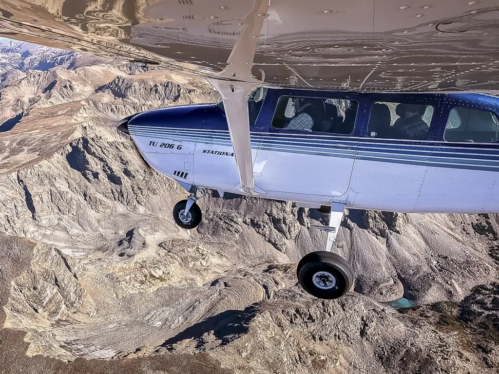
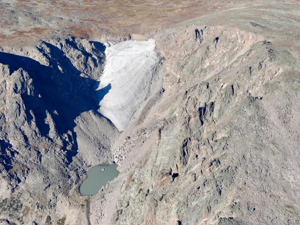
Many of these sites lie deep in the backcountry, far from roads. Photographing them from the ground requires hiking to each glacier and climbing the surrounding peaks to capture different angles.
“We couldn’t have covered all of Colorado’s glaciers without LightHawk,” said Harlan Ulmer, a student working with the research team. “Ground-based photogrammetric surveys are possible, but hiking to each glacier generally requires an entire day’s worth of time.”
Researcher Dan McGrath put the difference in concrete terms: “These surveys would not be possible without the support of LightHawk — accessing a single glacier to collect repeat photographs is typically at least a 10-mile round trip hike and full day endeavor, while we surveyed them all in 2.5 hours!”
The team will compare models created from this year’s imagery with those from previous surveys to measure changes in the glaciers’ surface elevation. Those comparisons will help researchers understand how much snow and ice has been lost over time.
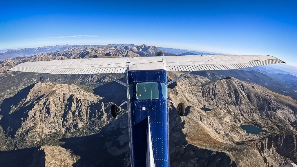
“All of these glaciers are on a one-way street to their eventual disappearance,” McGrath said to Outside. “The rate of melting is variable. Some years you may see them only thin by a few inches, but the overall trend is one-way.”
At St. Mary’s Glacier, the team encountered a stark example of that loss. The snowfield, long a destination for summer skiers, had melted completely for the first time on record.
McGrath plans to present findings from the two surveys at the Geological Society of America meeting in Denver in October. The team is also working toward a peer-reviewed manuscript for submission to the Journal of Glaciology.
Working alongside CSU researchers, LightHawk is helping establish a practical way to document changes across Colorado’s remote glaciers. Flight connects sites that would otherwise require separate days of hiking, making repeated surveys more feasible. That sustained record can help researchers understand how these mountain landscapes are responding to a changing climate.