
The Bitterroot River winds through a picturesque valley in Western Montana, its meandering path carving a winding streambed across the landscapes and depositing rich soils that have served family farms for generations. The area’s beauty served as the backdrop for the Dutton Ranch in the TV series Yellowstone.
The Bitterroot River’s West Fork headwaters have been attracting attention long before the show, drawing fly-fishing enthusiasts from across the country and around the world. Lately, those headwaters have been drawing a different kind of attention: government officials are considering a proposed rare earth mine in the Sheep Creek area, and developers are hoping to fast-track its approval.
Opponents of the mine warn of its threat to the Bitterroot River, a waterway that communities throughout the valley depend on. Pollution from toxic chemicals or fuel spills could travel downstream, threatening the health of the river along with the ground water, soil and streams that feed into it.
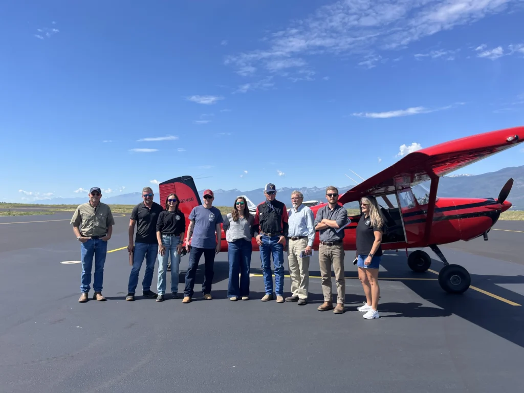
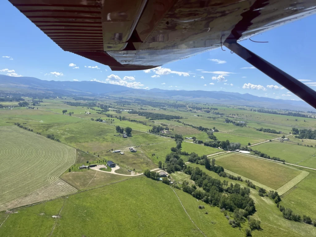
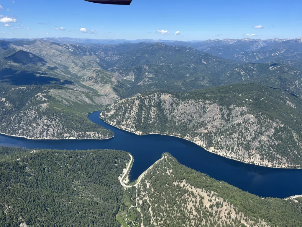
To help decision-makers and the public understand what’s at stake, LightHawk worked with local partner Bitterroot Water Partnership to conduct aerial tours of the area. Volunteer pilots Chris Boyer and Ray Lee flew into the Stevensville, MT airport and guided passengers over the valley and the proposed mining site.
From the air, passengers could see the site’s proximity to the river and how pollution runoff would travel throughout the valley, a view that put the risk to thousands of homes and businesses into sharp perspective.
“We wanted to give people an opportunity to see it from the sky, because it might sound like something that’s far away to drive or hike out there,” said Heather Barber, executive director of the Bitterroot Water Partnership. “But, if you can see it from the sky, you can have such a better sense of what the devastating impacts really could be for the Bitterroot.”
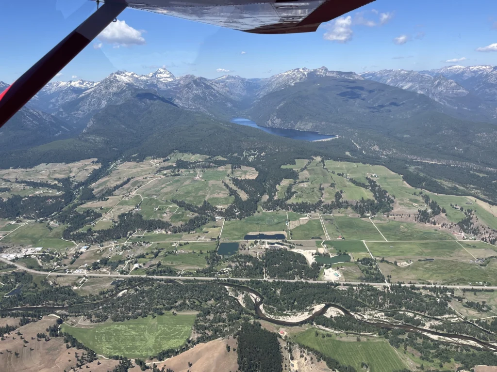
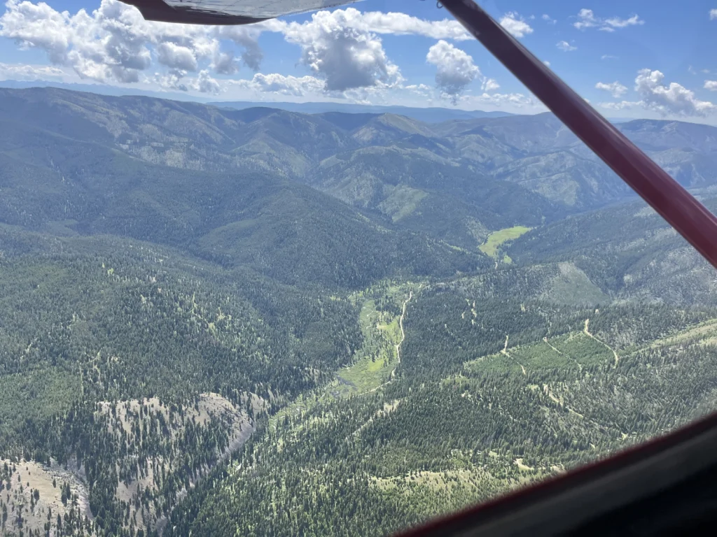
After the flight, Montana state representative David Bedey said, “I’ll tell you the most amazing thing about the flight, and I could understand this from my own experience on the ground and looking at maps, but what’s amazing here is just how close this particular mining activity is to the Upper West Fork of the Bitterroot River. It’s very difficult to see how a mining operation could take place here without significant and catastrophic harm to the river.”
Boyer and Lee each completed two flights through the valley, carrying a total of 10 local leaders and media members. The stories and understanding that came out of these flights are exactly why LightHawk was founded, and why it exists today.
That understanding is made possible by the dedication and generosity of volunteer pilots like Ray Lee and Chris Boyer, and by people like you.