
Category: Focus: Wild Places
-

Pilot View: Flying Over a Proposed Data Center in Montana
Taking off from his home airport in Bozeman, Montana, LightHawk Northern Rockies Program Manager and Volunteer Pilot Chris Boyer pointed his plane east toward the small rural community of Broadview. With the stiff tailwind, the flight took just over an hour. Chris was flying over Broadview to collect imagery of the location of a proposed…
-
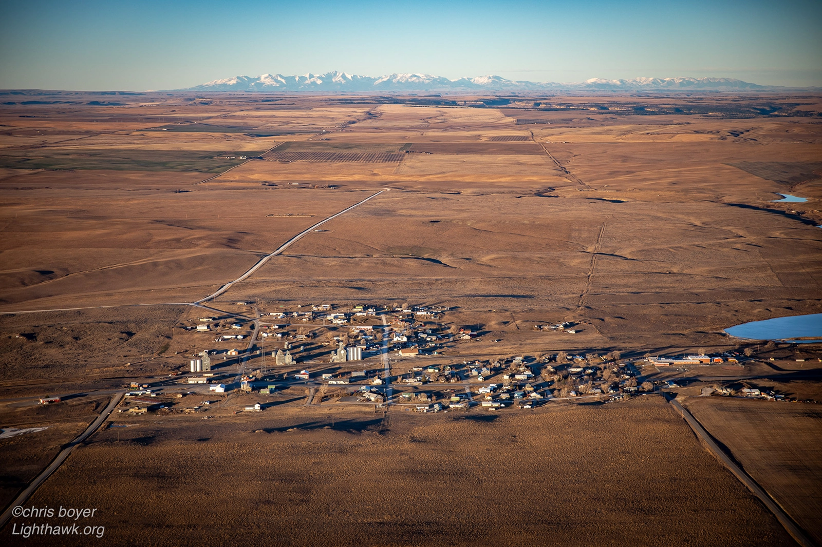
Aerial Insight into a Proposed Montana Data Center
When LightHawk volunteer pilot and staff member Chris Boyer took off earlier this month, his destination was a small agricultural town in central Montana. Broadview is home to about 150 people – farmers mostly. Their small town is attracting a lot of attention these days. A proposed 5,000-acre AI data center has raised concerns among…
-

Flying to Protect 78,000 Acres in Northwestern Maine
Flying above the forests of northwestern Maine in the fall provides a glorious view of the landscape, painted in the reds, yellows and oranges of Autumn. From the air, the aerial perspective captures not just the beauty and majesty of these lands, but why they matter – illustrating the importance of preserving them for future…
-

Pilot View: Flying Journalists Over Wyoming’s Iconic Landscapes
Flying her very first mission for LightHawk, Volunteer Pilot Bronson Daughtry teamed up with fellow pilots Ray Lee and Matthew Machen to give partners from the Wyoming Outdoor Council an aerial tour over Wyoming’s Red Desert landscapes. Before Bronson and the other pilots worked with Northern Rockies Program Manager Chris Boyer to discuss the partner’s…
-
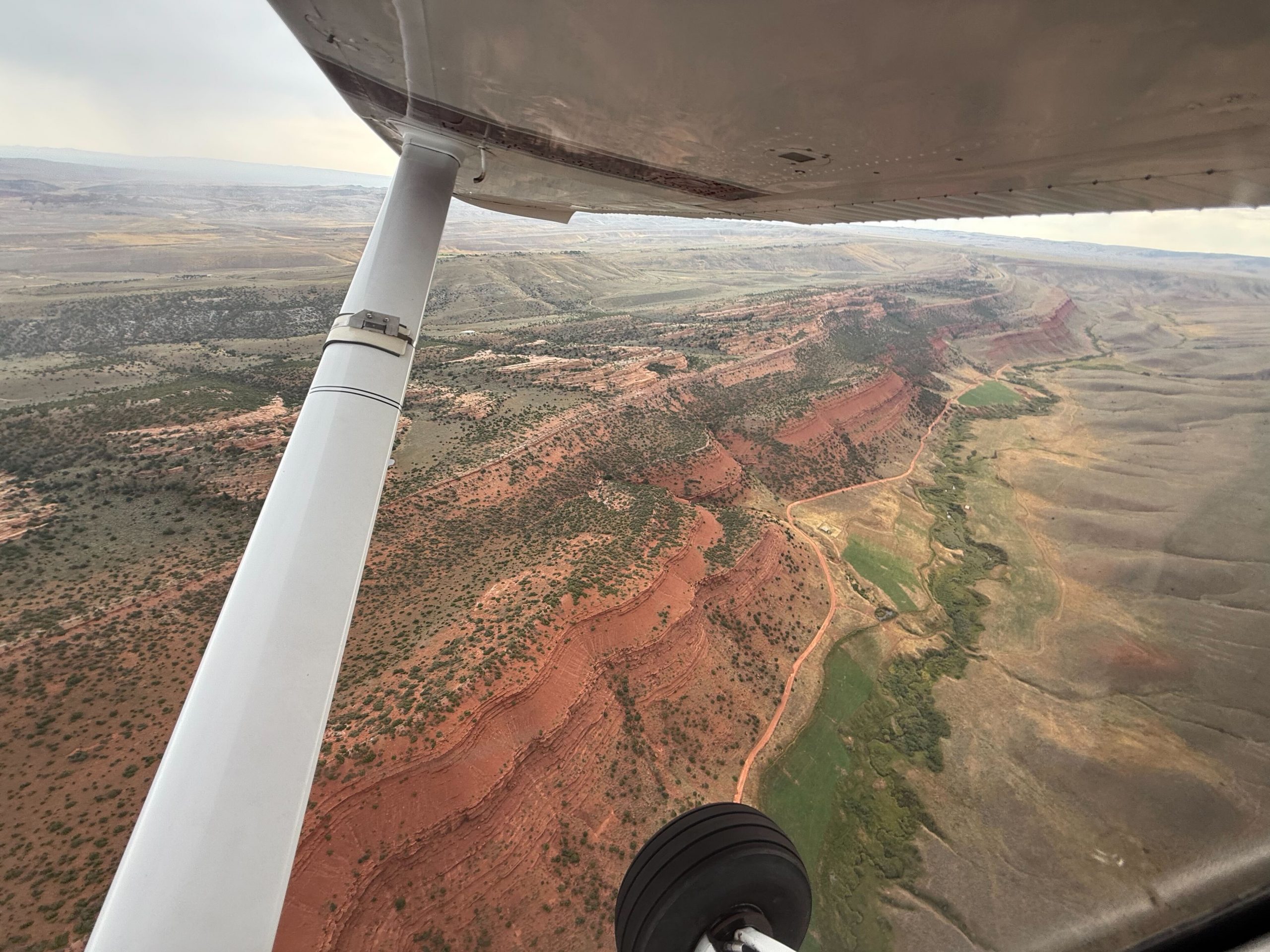
Giving Journalists a New View of Wyoming’s Red Desert
The Northern Red Desert and Big Sandy Foothills of the Wind River Range in Wyoming are considered some of the most ecologically significant lands in the lower 48 states. They provide habitat for the world’s highest density of sage grouse as well as home to pronghorn, mule deer and other species. These lands also hold…